
| Distance / Altitude | Location | Report Date / Time | Live Weather | Wind | Gusts | Temp. | Visibility | Cloud |
|---|---|---|---|---|---|---|---|---|
| 3 km N / 14 m | Iqaluit (Canada) | 2025-12-24 08:00 local (2025/12/24 12:00 GMT) | - | light winds from the SSW (19 km/h at 200) | — | - | no observation | |
| 4 km NNE / 217 m | Frobisher/Iqaluit Airport (N.w. Territories) | 2025-12-24 07:00 local (2025/12/24 11:00 GMT) | Dry and partly cloudy | moderate winds from the S (20 km/h at 190) | -14°C | 24 | broken | |
| 302 km NNE / 23 m | Pangnirtung-NU (Canada) | 2025-12-24 08:00 local (2025/12/24 12:00 GMT) | - | wind obs. (24 kph from 140 degs) was rejected (- km/h at -) | — | - | no observation | |
| 302 km NNE / 322 m | Pangnirtung Airport (N.w. Territories) | 2025-12-24 08:00 local (2025/12/24 12:00 GMT) | - | wind obs. (24 kph from 140 degs) was rejected (- km/h at -) | — | 13 | scattered scattered | |
| 376 km SSW / 503 m | Parc National Des Pingualuit- Que (Canada) | 2025-12-24 07:00 local (2025/12/24 11:00 GMT) | - | moderate winds from the WSW (22 km/h at 240) | — | - | - | |
| 395 km W / 217 m | Cape Dorset Airport (N.w. Territories) | 2025-12-24 07:32 local (2025/12/24 11:32 GMT) | - | moderate winds from the WSW (22 km/h at 240) | -19°C | 14 | ||
| 396 km W / 50 m | CapeDorsetClimate- NU (Canada) | 2025-12-24 08:00 local (2025/12/24 12:00 GMT) | - | moderate winds from the W (22 km/h at 270) | -20°C | - | no observation | |
| 474 km NNE / 6 m | Qikiqtarjuaq Airport (Canada) | 2025-12-24 08:00 local (2025/12/24 12:00 GMT) | - | calm (0 km/h at 0) | -24°C | - | no observation | |
| 615 km SSW / 339 m | Puvirnituq Airport (Quebec) | 2025-12-24 07:25 local (2025/12/24 11:25 GMT) | Light snow | fresh winds from the WSW (35 km/h at 250) | -18°C | 1 | broken overcast | |
| 624 km S / 123 m | Kuujjuaq-Ua-Que (Canada) | 2025-12-24 08:00 local (2025/12/24 12:00 GMT) | Continuous light snow | moderate winds from the SW (22 km/h at 220) | -16°C | 39 km | overcast |
| Contours: | Roads & Rivers: | Select a
tide station / surf break / city |
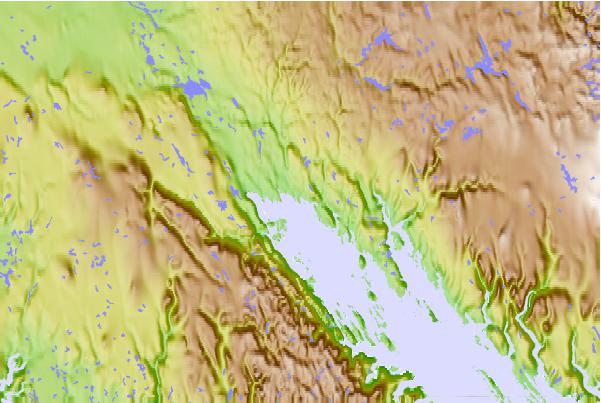
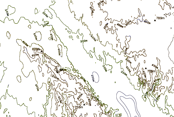
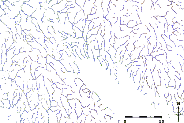
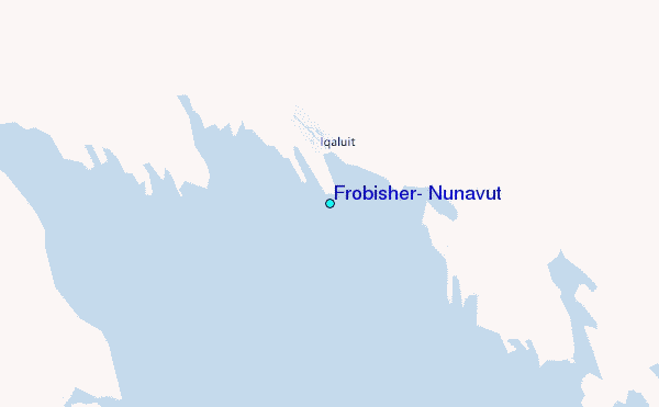
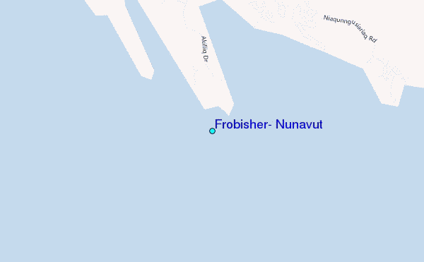
Use this relief map to navigate to tide stations, surf breaks and cities that are in the area of Frobisher, Nunavut.
Other Nearby Locations' tide tables and tide charts to Frobisher, Nunavut:
click location name for more details
 Surf breaks close to Frobisher, Nunavut:
|
||
|---|---|---|
| Closest surf break | Ingonish Beach | 1221 mi |
| Second closest surf break | Marathon | 1236 mi |
| Third closest surf break | Kennington Cove | 1276 mi |
| Fourth closest surf break | Michaud Point | 1291 mi |
| Fifth closest surf break | Alona Bay | 1300 mi |


 Nearest
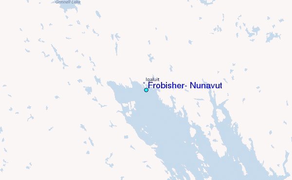