
| Distance / Altitude | Location | Report Date / Time | Live Weather | Wind | Gusts | Temp. | Visibility | Cloud |
|---|---|---|---|---|---|---|---|---|
| 3 km N / 34 m | Iqaluit (Canada) | 2026-07-26 07:00 local (2026/07/26 10:00 GMT) | no report | calm (4 km/h at 150) | 2°C | - | - | |
| 4 km NNE / 217 m | Frobisher/Iqaluit Airport (N.w. Territories) | 2026-07-26 06:00 local (2026/07/26 09:00 GMT) | Light rain | moderate winds from the SSE (22 km/h at 150) | 2°C | 13 | overcast | |
| 211 km NE / 15 m | SHIP1812 (Marine) | 2026-07-26 06:00 local (2026/07/26 09:00 GMT) | fresh winds from the S (38.88 km/h at 170) | 6°C | - km | |||
| 211 km NE / 3 m | SHIP3541 (Marine) | 2026-07-26 06:00 local (2026/07/26 09:00 GMT) | strong winds from the S (39 km/h at 170) | 3°C | - | |||
| 211 km NE / 3 m | SHIP2709 (Marine) | 2026-07-26 06:00 local (2026/07/26 09:00 GMT) | strong winds from the S (39 km/h at 170) | 3°C | - | |||
| 211 km NE / 3 m | SHIP726 (Marine) | 2026-07-26 06:00 local (2026/07/26 09:00 GMT) | strong winds from the S (39 km/h at 170) | 3°C | - | |||
| 211 km NE / 3 m | SHIP822 (Marine) | 2026-07-26 06:00 local (2026/07/26 09:00 GMT) | strong winds from the S (39 km/h at 170) | 3°C | - | |||
| 212 km NE / 3 m | SHIP1024 (Marine) | 2026-07-26 07:00 local (2026/07/26 10:00 GMT) | near gales from the SSW (59 km/h at 200) | 2°C | - | |||
| 212 km NE / 3 m | SHIP4006 (Marine) | 2026-07-26 07:00 local (2026/07/26 10:00 GMT) | near gales from the SSW (59 km/h at 200) | 2°C | - | |||
| 212 km NE / 15 m | SHIP2404 (Marine) | 2026-07-26 07:00 local (2026/07/26 10:00 GMT) | near gales from the SSW (59.4 km/h at 200) | 6°C | - km |
| Contours: | Roads & Rivers: | Select a
tide station / surf break / city |
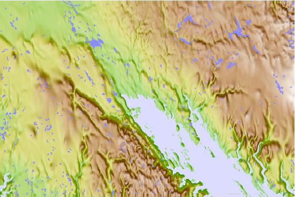
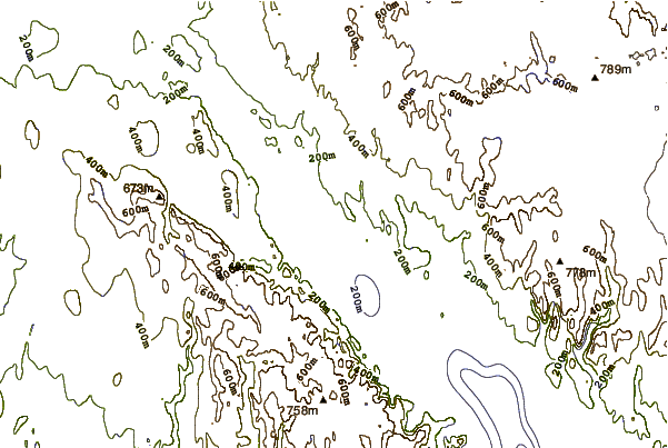
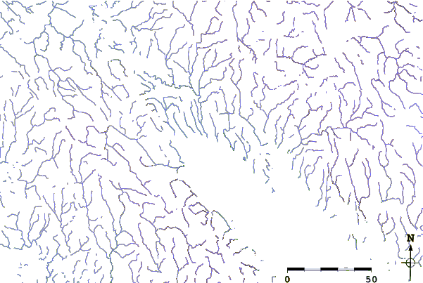
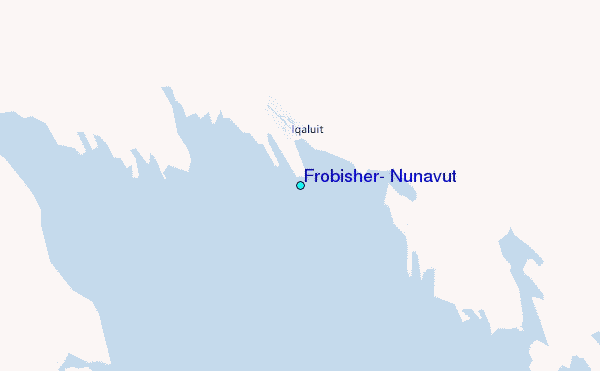
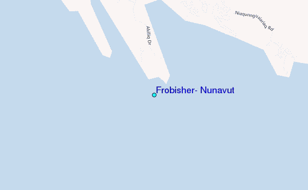
Use this relief map to navigate to tide stations, surf breaks and cities that are in the area of Frobisher, Nunavut.
Other Nearby Locations' tide tables and tide charts to Frobisher, Nunavut:
click location name for more details
 Surf breaks close to Frobisher, Nunavut:
|
||
|---|---|---|
| Closest surf break | Ingonish Beach | 1221 mi |
| Second closest surf break | Marathon | 1236 mi |
| Third closest surf break | Kennington Cove | 1276 mi |
| Fourth closest surf break | Michaud Point | 1291 mi |
| Fifth closest surf break | Alona Bay | 1300 mi |


 Nearest
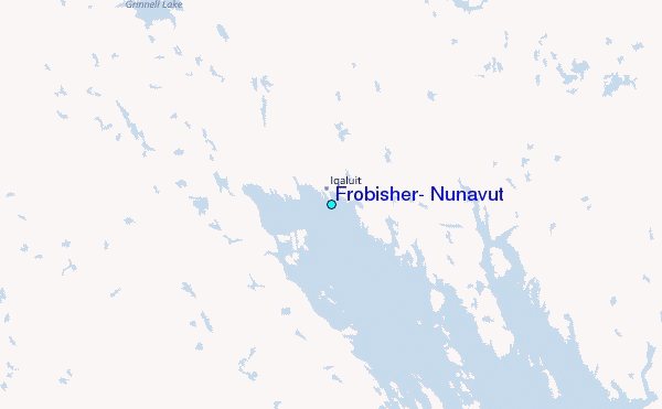