
| Distance / Altitude | Location | Report Date / Time | Live Weather | Wind | Gusts | Temp. | Visibility | Cloud |
|---|---|---|---|---|---|---|---|---|
| 67 km SSE / 27 m | Aasiaat Airport (Greenland) | 2025-12-25 09:00 local (2025/12/25 12:00 GMT) | - | light winds from the E (6 km/h at 80) | — | 45 | - | |
| 67 km SSE / 41 m | Aasiaat (Egedesminde) (Greenland) | 2025-12-25 09:00 local (2025/12/25 12:00 GMT) | - | - (- km/h at -) | — | 40 | - | |
| 98 km E / 34 m | Mittarfik Ilulissat (Jakobshavn Lufthavn) (Greenland) | 2025-12-25 09:00 local (2025/12/25 12:00 GMT) | - | light winds from the W (6 km/h at 280) | — | 45 | - - - | |
| 98 km E / 219 m | Jakobshavn Airport (Greenland) | 2025-12-25 09:20 local (2025/12/25 12:20 GMT) | - | fresh winds from the E (33 km/h at 100) | -12°C | 10.0 | ||
| 165 km NW / 221 m | Nuussuaq (Greenland) | 2025-12-25 09:00 local (2025/12/25 12:00 GMT) | - | calm (4 km/h at 150) | — | - | - | |
| 169 km N / 89 m | Qaarsut Airport (Greenland) | 2025-12-25 09:00 local (2025/12/25 12:00 GMT) | - | wind obs. (6 kph from 250 degs) was rejected (- km/h at -) | — | 35 | - - - | |
| 257 km S / 8 m | Mittarfik Sisimiut (Holsteinsborg Lufthavn) (Greenland) | 2025-12-25 09:00 local (2025/12/25 12:00 GMT) | - | wind obs. (7 kph from 270 degs) was rejected (- km/h at -) | — | 19 | - - - | |
| 275 km SSE / 53 m | MittarfikKangerlussuaq(Sdr. Stroemfjord Lufthavn) (Greenland) | 2025-12-25 10:00 local (2025/12/25 13:00 GMT) | - | light winds from the NE (19 km/h at 50) | — | 50 km | - clear - | |
| 276 km SSE / 216 m | Sondre Stromfjord Airport (Greenland) | 2025-12-25 09:20 local (2025/12/25 12:20 GMT) | - | light winds from the NE (19 km/h at 40) | — | 10.0 | no cloud - - | |
| 405 km NW / 130 m | Mittarfik Upernavik (Upernavik Lufthavn) (Greenland) | 2025-12-25 09:00 local (2025/12/25 12:00 GMT) | - | light winds from the E (6 km/h at 80) | — | 100 | - |
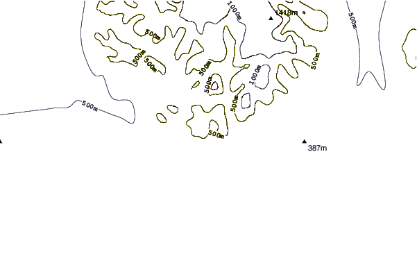
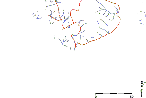
| Contours: | Roads & Rivers: | Select a
tide station / surf break / city |

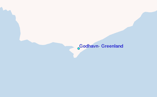
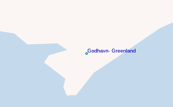
Use this relief map to navigate to tide stations, surf breaks and cities that are in the area of Godhavn, Greenland.
Other Nearby Locations' tide tables and tide charts to Godhavn, Greenland:
click location name for more details
 Surf breaks close to Godhavn, Greenland:
|
||
|---|---|---|
| Closest surf break | Garur | 905 mi |
| Second closest surf break | Hafnir | 911 mi |
| Third closest surf break | Grotta | 918 mi |
| Fourth closest surf break | Sandvik | 918 mi |
| Fifth closest surf break | Grindavik Antenas | 922 mi |


 Nearest
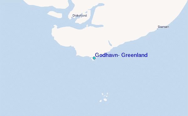