
| Distance / Altitude | Location | Report Date / Time | Live Weather | Wind | Gusts | Temp. | Visibility | Cloud |
|---|---|---|---|---|---|---|---|---|
| 8 km NNE / 211 m | Guayaquil/José Joaquín de Olmedo International Airport (Ecuador) | 2026-05-19 21:00 local (2026/05/20 02:00 GMT) | - | light winds from the SW (17 km/h at 220) | 27°C | 10.0 | few | |
| 158 km S / 158 m | Tumbes Pedro Canga Rodríguez Airport (Peru) | 2026-05-19 21:00 local (2026/05/20 02:00 GMT) | Dry and cloudy | light winds from the E (6 km/h at 100) | 27°C | 10.0 | overcast | |
| 159 km S / 27 m | Tumbes (Peru) | 2026-05-19 22:00 local (2026/05/20 03:00 GMT) | State of sky unchanged | light winds from the NNE (6 km/h at 20) | 27°C | 30 km | overcast | |
| 163 km NW / 190 m | Manta/Eloy Alfaro International Airport (Ecuador) | 2026-05-19 21:00 local (2026/05/20 02:00 GMT) | - | moderate winds from the SSW (20 km/h at 200) | 26°C | 10.0 | few - - | |
| 200 km NE / 2768 m | Latacunga/Cotopaxi Airport (Ecuador) | 2026-05-19 21:00 local (2026/05/20 02:00 GMT) | Dry and partly cloudy | wind obs. (20 kph from 170 degs) was rejected (- km/h at -) | 11°C | 10.0 | broken | |
| 211 km NE / 3200 m | Latacunga (Ecuador) | 2026-05-19 21:48 local (2026/05/20 02:48 GMT) | dry | calm (0 km/h at 154) | 9°C | - | - - 0 | |
| 287 km NE / 2400 m | Quito New International Airport (Ecuador) | 2026-05-19 21:00 local (2026/05/20 02:00 GMT) | - | light winds from the ENE (9 km/h at 70) | 15°C | 10.0 | few | |
| 303 km S / 90 m | Talara (Peru) | 2026-05-19 22:00 local (2026/05/20 03:00 GMT) | State of sky unchanged | light winds from the S (19 km/h at 170) | 20°C | 30 km | clear | |
| 337 km S / 1 m | Piura/Capitán FAP Guillermo Concha Iberico International Airport (Peru) | 2026-05-19 21:00 local (2026/05/20 02:00 GMT) | - | moderate winds from the S (22 km/h at 180) | — | 0.0 | ||
| 339 km S / 186 m | Piura-Capitán FAP Guillermo Concha Iberico International (Peru) | 2026-05-19 22:00 local (2026/05/20 03:00 GMT) | State of sky unchanged | moderate winds from the S (20 km/h at 180) | 24°C | 30 km | clear |
| Contours: | Roads & Rivers: | Select a
tide station / surf break / city |
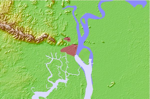
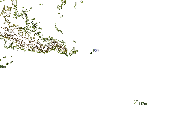
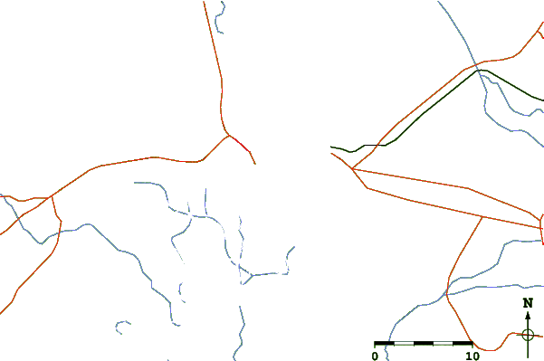
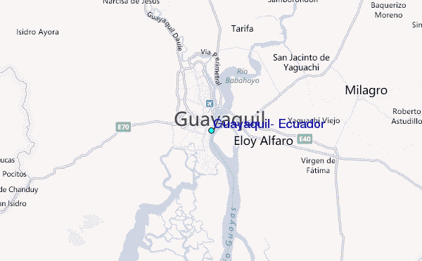
Use this relief map to navigate to tide stations, surf breaks and cities that are in the area of Guayaquil, Ecuador.
Other Nearby Locations' tide tables and tide charts to Guayaquil, Ecuador:
click location name for more details
 Surf breaks close to Guayaquil, Ecuador:
|
||
|---|---|---|
| Closest surf break | La Puntilla | 46 mi |
| Second closest surf break | Chabela (Playas de villamil) | 47 mi |
| Third closest surf break | Sharkbay | 47 mi |
| Fourth closest surf break | Olas Verdes | 48 mi |
| Fifth closest surf break | El Pelado | 49 mi |


 Nearest
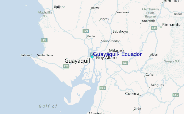