
| Distance / Altitude | Location | Report Date / Time | Live Weather | Wind | Gusts | Temp. | Visibility | Cloud |
|---|---|---|---|---|---|---|---|---|
| 29 km WSW / 317 m | Wakkanai Airport (Japan) | 2025-12-26 08:30 local (2025/12/25 23:30 GMT) | Dry and partly cloudy | fresh winds from the N (35 km/h at 360) | -5°C | 10.0 | few scattered broken | |
| 39 km W / 241 m | Wakkanai (Japan) | 2025-12-26 08:00 local (2025/12/25 23:00 GMT) | Freezing rain | strong winds from the N (41 km/h at 360) | -5°C | 40 km | no observation | |
| 55 km SE / 8 m | Kitamiesashi (Japan) | 2025-12-26 08:00 local (2025/12/25 23:00 GMT) | Continuous light snow | moderate winds from the N (20 km/h at 350) | -4°C | 30 km | - no observation - | |
| 105 km SE / 15 m | Omu (Japan) | 2025-12-26 08:00 local (2025/12/25 23:00 GMT) | Continuous light snow | moderate winds from the N (20 km/h at 350) | -3°C | 0.4 km | no observation | |
| 114 km S / 13 m | Haboro (Japan) | 2025-12-26 08:00 local (2025/12/25 23:00 GMT) | Freezing rain | moderate winds from the NE (20 km/h at 40) | -4°C | 40 km | - no observation - | |
| 143 km SE / 3 m | Mombetsu(South) (Marine) | 2025-12-26 08:02 local (2025/12/25 23:02 GMT) | - (- km/h at -) | — | - | |||
| 144 km SE / 16 m | Mombetsu (Japan) | 2025-12-26 08:00 local (2025/12/25 23:00 GMT) | Continuous light snow | light winds from the N (15 km/h at 350) | -3°C | 1.4 km | no observation | |
| 160 km S / 28 m | Rumoi (Japan) | 2025-12-26 08:00 local (2025/12/25 23:00 GMT) | - | light winds from the N (15 km/h at 10) | -2°C | 40 km | - no observation - | |
| 173 km S / 33 m | Asahikawa Air Base Airport (Japan) | 2025-12-26 07:07 local (2025/12/25 22:07 GMT) | Shower moderate snow | light winds from the NNE.(Wind varies from 320 to 100 degs) (17 km/h at 30) | -3°C | 0.0 | few scattered broken | |
| 176 km S / 240 m | Asahikawa (Japan) | 2025-12-26 08:00 local (2025/12/25 23:00 GMT) | Continuous light snow | moderate winds from the N (20 km/h at 350) | -4°C | 2.1 km | no observation |
| Contours: | Roads & Rivers: | Select a
tide station / surf break / city |
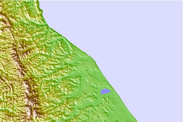
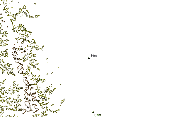
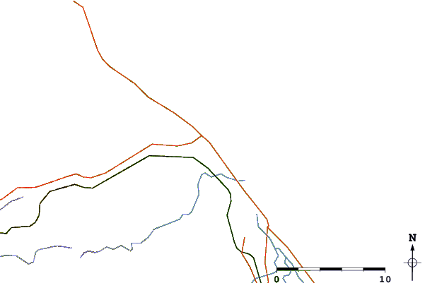
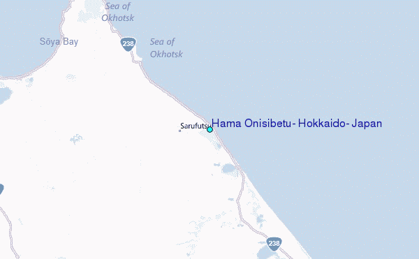
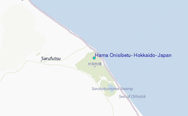
Use this relief map to navigate to tide stations, surf breaks and cities that are in the area of Hama Onisibetu, Hokkaido, Japan.
Other Nearby Locations' tide tables and tide charts to Hama Onisibetu, Hokkaido, Japan:
click location name for more details
 Surf breaks close to Hama Onisibetu, Hokkaido, Japan:
|
||
|---|---|---|
| Closest surf break | Livadia | 502 mi |
| Second closest surf break | Gornostay | 525 mi |
| Third closest surf break | Patrokl | 529 mi |
| Fourth closest surf break | Choshi | 669 mi |
| Fifth closest surf break | Katagai | 683 mi |


 Nearest
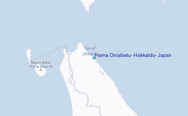