
| Distance / Altitude | Location | Report Date / Time | Live Weather | Wind | Gusts | Temp. | Visibility | Cloud |
|---|---|---|---|---|---|---|---|---|
| 185 km NNE / 24 m | Juzhno -Sahalinsk (Russia) | 2026-07-10 08:00 local (2026/07/09 23:00 GMT) | light rain showers | wind obs. (14 kph from 340 degs) was rejected (- km/h at -) | 10°C | 1000 | - - - | |
| 186 km S / 421 m | Asahikawa Airport (Japan) | 2026-07-10 07:00 local (2026/07/09 22:00 GMT) | Light rain | light winds from the S (9 km/h at 170) | 22°C | 10.0 | few scattered broken | |
| 226 km SE / 386 m | Memambetsu Airport (Japan) | 2026-07-10 08:00 local (2026/07/09 23:00 GMT) | Shower light rain shower | light winds from the SE (6 km/h at 140) | — | 4.9 | few scattered | |
| 254 km S / 119 m | Sapporo Airport (Japan) | 2026-07-10 07:00 local (2026/07/09 22:00 GMT) | Dry and partly cloudy | light winds from the SSE (17 km/h at 150) | 21°C | 10.0 | few broken broken | |
| 286 km S / 218 m | Chitose Airport (Japan) | 2026-07-10 07:30 local (2026/07/09 22:30 GMT) | Mist - | light winds from the SSE (17 km/h at 160) | 20°C | 5.0 | few broken broken | |
| 294 km N / 102 m | Ilyinskiy (Russia) | 2026-07-10 08:00 local (2026/07/09 23:00 GMT) | state of sky unchanged | light winds from the E (18 km/h at 80) | 10°C | 20 | - | |
| 303 km SSE / 386 m | Obihiro Airport (Japan) | 2026-07-10 08:00 local (2026/07/09 23:00 GMT) | Dry and partly cloudy | calm (4 km/h at 1) | 19°C | 10.0 | few scattered broken | |
| 304 km SSE / 419 m | Kushiro Airport (Japan) | 2026-07-10 07:00 local (2026/07/09 22:00 GMT) | Light rain | calm (0 km/h at 0) | 16°C | 6.0 | few broken broken | |
| 326 km W / 102 m | Sosunovo (Russia) | 2026-07-10 08:00 local (2026/07/09 23:00 GMT) | no report | wind obs. (22 kph from 10 degs) was rejected (- km/h at -) | 11°C | 20 | - | |
| 328 km ESE / 45 m | Juzhno -Kuril sk (Russia) | 2026-07-10 08:00 local (2026/07/09 23:00 GMT) | rain showers | - (- km/h at 50) | 12°C | 4000 | - - - |
| Contours: | Roads & Rivers: | Select a
tide station / surf break / city |
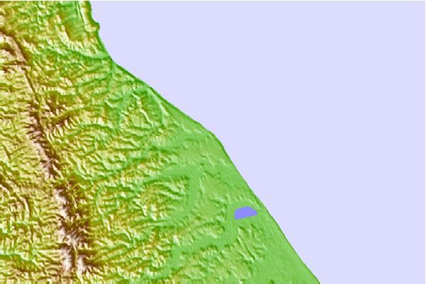
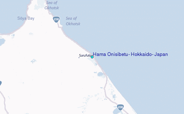
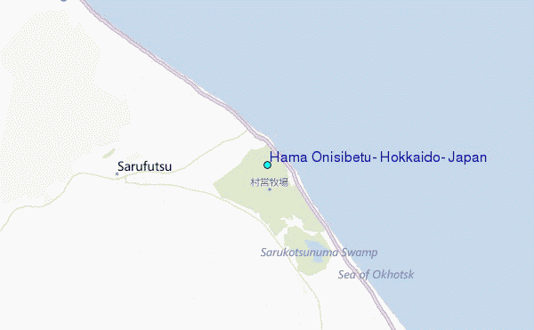
Use this relief map to navigate to tide stations, surf breaks and cities that are in the area of Hama Onisibetu, Hokkaido, Japan.
Other Nearby Locations' tide tables and tide charts to Hama Onisibetu, Hokkaido, Japan:
click location name for more details
 Surf breaks close to Hama Onisibetu, Hokkaido, Japan:
|
||
|---|---|---|
| Closest surf break | Livadia | 502 mi |
| Second closest surf break | Gornostay | 525 mi |
| Third closest surf break | Patrokl | 529 mi |
| Fourth closest surf break | Choshi | 669 mi |
| Fifth closest surf break | Katagai | 683 mi |


 Nearest
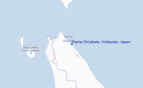