
| Distance / Altitude | Location | Report Date / Time | Live Weather | Wind | Gusts | Temp. | Visibility | Cloud |
|---|---|---|---|---|---|---|---|---|
| 15 km N / 207 m | Saglek (bay) Airport (Newfoundland) | 2026-03-19 21:30 local (2026/03/20 00:00 GMT) | - | light winds from the S.(Wind varies from 150 to 290 degs) (11 km/h at 190) | -22°C | 0 | ||
| 17 km N / 82 m | Saglek Airport (Canada) | 2026-03-19 21:30 local (2026/03/20 00:00 GMT) | - | light winds from the SW (9 km/h at 230) | -22°C | - | no observation | |
| 190 km SSE / 12 m | Nain- Nfld (Canada) | 2026-03-19 23:00 local (2026/03/20 01:30 GMT) | - | - (- km/h at -) | — | - | - - - | |
| 192 km SSE / 472 m | Nain Airport (Newfoundland) | 2026-03-19 20:30 local (2026/03/19 23:00 GMT) | - | light winds from the W (11 km/h at 270) | -19°C | 24 | few few | |
| 281 km ENE / 15 m | ASCATC302E59N (Marine) | 2026-03-19 20:46 local (2026/03/19 23:16 GMT) | strong winds from the W (41 km/h at 280) | — | - km | |||
| 309 km NNE / 15 m | ASCATC300E60N (Marine) | 2026-03-19 20:46 local (2026/03/19 23:16 GMT) | strong winds from the W (48 km/h at 270) | — | - km | |||
| 317 km NE / 15 m | ASCATC301E60N (Marine) | 2026-03-19 20:46 local (2026/03/19 23:16 GMT) | strong winds from the W (48 km/h at 269) | — | - km | |||
| 322 km E / 15 m | ASCATC303E58N (Marine) | 2026-03-19 20:46 local (2026/03/19 23:16 GMT) | fresh winds from the W (33 km/h at 262) | — | - km | |||
| 334 km ENE / 15 m | ASCATC303E59N (Marine) | 2026-03-19 20:46 local (2026/03/19 23:16 GMT) | strong winds from the W (41 km/h at 278) | — | - km | |||
| 338 km SSE / 212 m | Hopedale Airport (Newfoundland) | 2026-03-19 21:30 local (2026/03/20 00:00 GMT) | - | fresh winds from the S (30 km/h at 180) | -16°C | 0.0 |
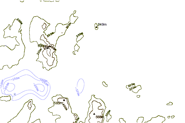
| Contours: | Roads & Rivers: | Select a
tide station / surf break / city |
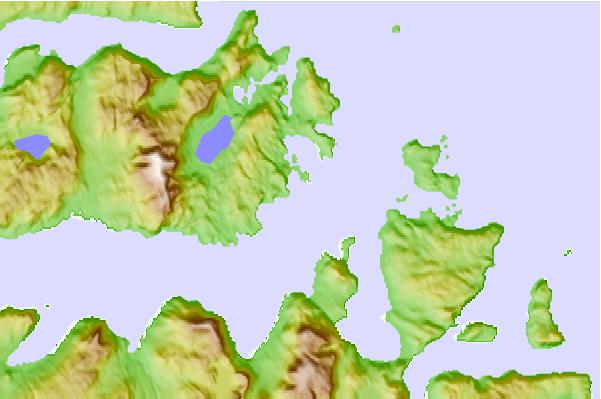
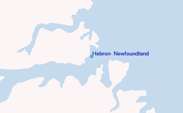
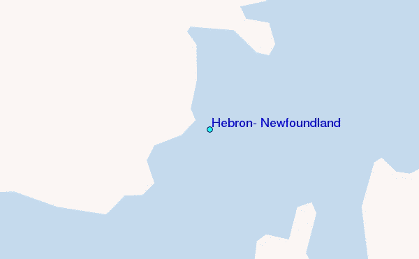
Use this relief map to navigate to tide stations, surf breaks and cities that are in the area of Hebron, Newfoundland.
Other Nearby Locations' tide tables and tide charts to Hebron, Newfoundland:
click location name for more details
 Surf breaks close to Hebron, Newfoundland:
|
||
|---|---|---|
| Closest surf break | Ingonish Beach | 804 mi |
| Second closest surf break | Kennington Cove | 858 mi |
| Third closest surf break | Michaud Point | 876 mi |
| Fourth closest surf break | Martinique | 933 mi |
| Fifth closest surf break | Lawrencetown Left Point | 937 mi |


 Nearest
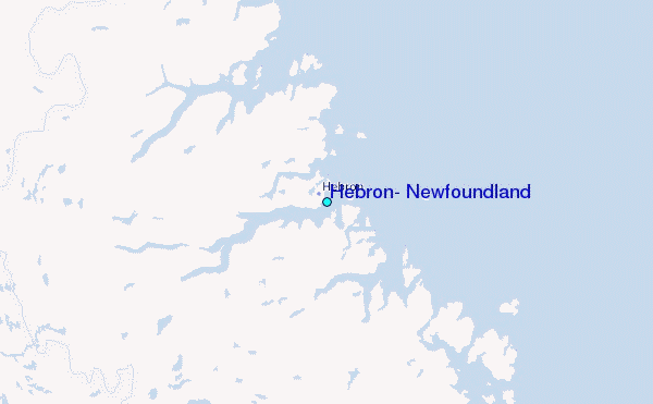