
| Distance / Altitude | Location | Report Date / Time | Live Weather | Wind | Gusts | Temp. | Visibility | Cloud |
|---|---|---|---|---|---|---|---|---|
| 67 km ENE / 23 m | Pangnirtung-NU (Canada) | 2026-04-05 06:00 local (2026/04/05 10:00 GMT) | - | calm (4 km/h at 130) | — | - | - no observation - | |
| 219 km NE / 6 m | Qikiqtarjuaq Airport (Canada) | 2026-04-05 05:00 local (2026/04/05 09:00 GMT) | - | calm (4 km/h at 20) | — | - | - - - | |
| 225 km NE / 707 m | Broughton Island Airport (N.w. Territories) | 2026-04-05 05:00 local (2026/04/05 09:00 GMT) | Clear | wind obs. (7 kph from 180 degs) was rejected (- km/h at -) | -27°C | 14 | ||
| 261 km S / 217 m | Frobisher/Iqaluit Airport (N.w. Territories) | 2026-04-05 05:00 local (2026/04/05 09:00 GMT) | Ice crystals | calm (4 km/h at 150) | -23°C | 24 | scattered no observation - | |
| 261 km S / 34 m | Iqaluit (Canada) | 2026-04-05 05:00 local (2026/04/05 09:00 GMT) | - | calm (4 km/h at 150) | — | - | - | |
| 483 km SW / 50 m | Cape Dorset Climate- NU (Canada) | 2026-04-05 06:00 local (2026/04/05 10:00 GMT) | - | wind obs. (22 kph from 70 degs) was rejected (- km/h at -) | — | - | - - - | |
| 483 km SW / 217 m | Cape Dorset Airport (N.w. Territories) | 2026-04-05 05:00 local (2026/04/05 09:00 GMT) | Clear | calm (0 km/h at 0) | -19°C | 14 | ||
| 500 km N / 217 m | Cylde Airport (N.w. Territories) | 2026-04-05 05:00 local (2026/04/05 09:00 GMT) | Dry and cloudy | moderate winds from the W (20 km/h at 280) | -23°C | 14 | overcast | |
| 501 km N / 26 m | Cylde Airport (Canada) | 2026-04-05 05:00 local (2026/04/05 09:00 GMT) | - | light winds from the N (14 km/h at 350) | — | - | - - - | |
| 606 km ENE / 8 m | Mittarfik Sisimiut (Holsteinsborg Lufthavn) (Greenland) | 2026-04-05 05:00 local (2026/04/05 09:00 GMT) | - | wind obs. (7 kph from 270 degs) was rejected (- km/h at -) | — | 19 | - mostly cloudy - |
| Contours: | Roads & Rivers: | Select a
tide station / surf break / city |
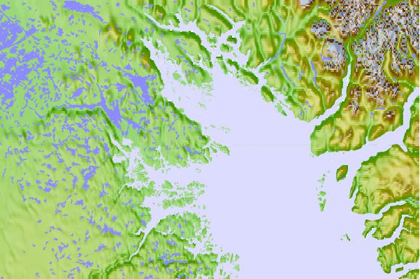
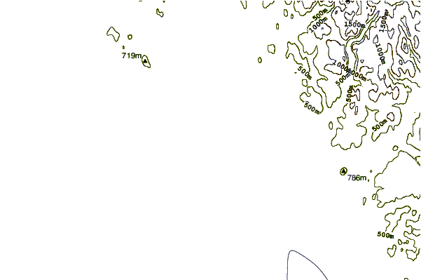
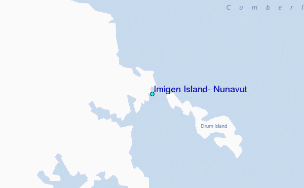
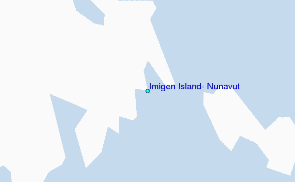
Use this relief map to navigate to tide stations, surf breaks and cities that are in the area of Imigen Island, Nunavut.
Other Nearby Locations' tide tables and tide charts to Imigen Island, Nunavut:
click location name for more details
 Surf breaks close to Imigen Island, Nunavut:
|
||
|---|---|---|
| Closest surf break | Garur | 1277 mi |
| Second closest surf break | Hafnir | 1281 mi |
| Third closest surf break | Sandvik | 1287 mi |
| Fourth closest surf break | Grindavik Antenas | 1291 mi |
| Fifth closest surf break | Grindavik Lighthouse ( Hopsnesta) | 1292 mi |


 Nearest
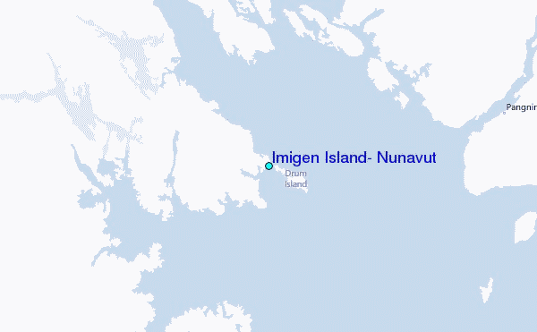