
| Distance / Altitude | Location | Report Date / Time | Live Weather | Wind | Gusts | Temp. | Visibility | Cloud |
|---|---|---|---|---|---|---|---|---|
| 33 km SSW / 21 m | Nobeoka (Japan) | 2025-12-25 17:00 local (2025/12/25 08:00 GMT) | - | moderate winds from the W (22 km/h at 270) | 10°C | 40 km | - no observation - | |
| 46 km S / 3 m | Hyuga-Miyazaki (buoy) (Marine) | 2025-12-25 17:02 local (2025/12/25 08:02 GMT) | - (- km/h at -) | — | - | |||
| 55 km NW / 240 m | Oita (Japan) | 2025-12-25 17:00 local (2025/12/25 08:00 GMT) | - | light winds from the WNW (15 km/h at 290) | 9°C | 40 km | - no observation - | |
| 76 km E / 11 m | Sukumo (Japan) | 2025-12-25 17:00 local (2025/12/25 08:00 GMT) | - | moderate winds from the NW (28 km/h at 310) | 11°C | 40 km | no observation | |
| 76 km NW / 446 m | Oita Airport (Japan) | 2025-12-25 16:00 local (2025/12/25 07:00 GMT) | Dry and partly cloudy | light winds from the NW.(Wind varies from 270 to 360 degs) (19 km/h at 310) | 9°C | 10.0 | few scattered broken | |
| 77 km NE / 44 m | Uwajima (Japan) | 2025-12-25 17:00 local (2025/12/25 08:00 GMT) | - | strong winds from the NW (43 km/h at 310) | 11°C | 40 km | - no observation - | |
| 100 km WSW / 474 m | Kumamoto Airport (Japan) | 2025-12-25 16:00 local (2025/12/25 07:00 GMT) | Dry and partly cloudy | light winds from the WNW.(Wind varies from 270 to 340 degs) (19 km/h at 300) | 8°C | 10.0 | few broken broken | |
| 104 km E / 34 m | Shimizu (Japan) | 2025-12-25 17:00 local (2025/12/25 08:00 GMT) | - | light winds from the WNW (11 km/h at 300) | 12°C | 40 km | no observation | |
| 107 km W / 84 m | Hita (Japan) | 2025-12-25 17:00 local (2025/12/25 08:00 GMT) | - | moderate winds from the W (24 km/h at 280) | 8°C | 40 km | no observation | |
| 109 km S / 241 m | Miyazaki (Japan) | 2025-12-25 17:00 local (2025/12/25 08:00 GMT) | - | light winds from the WNW (19 km/h at 290) | 12°C | 40 km | - no observation - |
| Contours: | Roads & Rivers: | Select a
tide station / surf break / city |
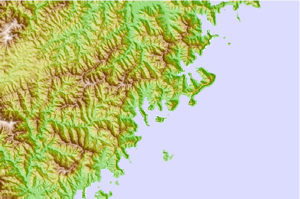
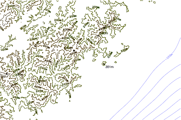
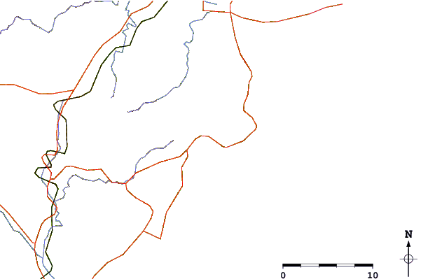
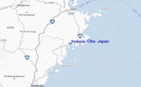
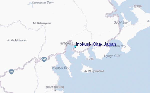
Use this relief map to navigate to tide stations, surf breaks and cities that are in the area of Inokusi, Oita, Japan.
Other Nearby Locations' tide tables and tide charts to Inokusi, Oita, Japan:
click location name for more details
 Surf breaks close to Inokusi, Oita, Japan:
|
||
|---|---|---|
| Closest surf break | Dragons Leaf | 2 mi |
| Second closest surf break | Kodogawa | 27 mi |
| Third closest surf break | Okuragahama | 32 mi |
| Fourth closest surf break | Kanegahama | 34 mi |
| Fifth closest surf break | Mimitsu | 36 mi |


 Nearest
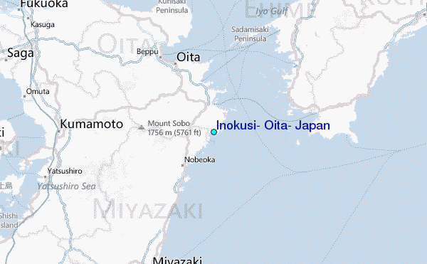