
| Distance / Altitude | Location | Report Date / Time | Live Weather | Wind | Gusts | Temp. | Visibility | Cloud |
|---|---|---|---|---|---|---|---|---|
| 5 km NE / 219 m | Friday Harbor Airport (Washington) | 2026-03-04 05:29 local (2026/03/04 13:29 GMT) | Light rain | calm (0 km/h at 0) | 8°C | 14 | overcast | |
| 9 km NE / 3 m | BUOY-FRDW1 (Marine) | 2026-03-04 05:36 local (2026/03/04 13:36 GMT) | - (0 km/h at -) | 9°C | - | |||
| 12 km SW / 28 m | DiscoveryIsland-BC (Canada) | 2026-03-04 04:00 local (2026/03/04 12:00 GMT) | - | light winds from the ENE (11 km/h at 70) | 8°C | - | no observation | |
| 13 km WNW / 215 m | Kelp Reefs Airport (British Columbia) | 2026-03-04 05:00 local (2026/03/04 13:00 GMT) | - | calm (0 km/h at 0) | — | 0.0 | ||
| 14 km ENE / 18 m | Lopez Island wx (United States) | 2026-03-04 06:05 local (2026/03/04 14:05 GMT) | dry | calm (0 km/h at 245) | 9°C | - | - - 0 | |
| 15 km SW / 216 m | Victoria University (British Columbia) | 2026-03-04 05:00 local (2026/03/04 13:00 GMT) | - | calm (2 km/h at 330) | 8°C | 0.0 | ||
| 15 km SW / 216 m | Victoria University Airport (British Columbia) | 2026-03-04 05:00 local (2026/03/04 13:00 GMT) | - | calm (2 km/h at 330) | 8°C | 0.0 | ||
| 15 km ESE / 30 m | Lopez Village (Washington) | 2026-03-04 06:27 local (2026/03/04 14:27 GMT) | dry | calm (0 km/h at 0) | 9°C | - | - - 0 | |
| 17 km WSW / 60 m | VictoriaUniversityCs- BC (Canada) | 2026-03-04 06:00 local (2026/03/04 14:00 GMT) | no report | calm (0 km/h at 0) | 11°C | - | - no observation - | |
| 17 km ENE / 36 m | Lopez Island (Washington) | 2026-03-04 06:29 local (2026/03/04 14:29 GMT) | dry | calm (2 km/h at 175) | 9°C | - | - - 0 |
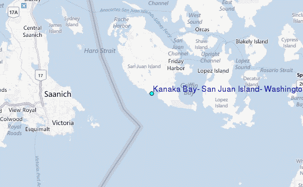
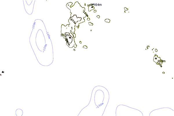
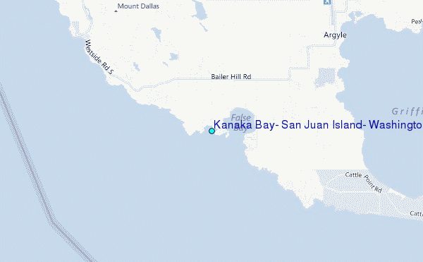
Choose Kanaka Bay, San Juan Island, Washington Location Map Zoom:
| Contours: | Roads & Rivers: | Select a
tide station / surf break / city |
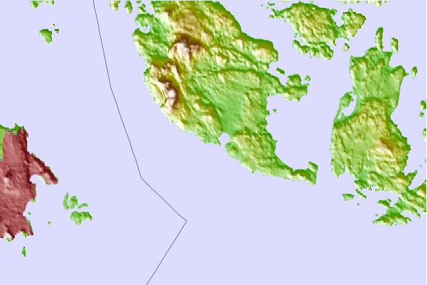
Use this relief map to navigate to tide stations, surf breaks and cities that are in the area of Kanaka Bay, San Juan Island, Washington.
Other Nearby Locations' tide tables and tide charts to Kanaka Bay, San Juan Island, Washington:
click location name for more details
 Surf breaks close to Kanaka Bay, San Juan Island, Washington:
|
||
|---|---|---|
| Closest surf break | Fort. Ebey | 23 mi |
| Second closest surf break | Super green | 27 mi |
| Third closest surf break | Elwha | 32 mi |
| Fourth closest surf break | Crescent | 37 mi |
| Fifth closest surf break | Whiskey Creek | 39 mi |


 Nearest
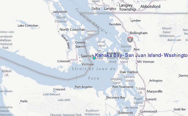