
| Distance / Altitude | Location | Report Date / Time | Live Weather | Wind | Gusts | Temp. | Visibility | Cloud |
|---|---|---|---|---|---|---|---|---|
| 4 km SW / 186 m | St Maarten Juliana Airport (Virgin Islands) | 2026-03-03 19:00 local (2026/03/03 23:00 GMT) | Dry and partly cloudy | moderate winds from the ENE (24 km/h at 60) | 26°C | 10.0 | scattered | |
| 5 km SSW / 4 m | JulianaAirport-St. Maarten (Sint Maarten) | 2026-03-03 20:00 local (2026/03/04 00:00 GMT) | - | moderate winds from the NE (26 km/h at 50) | 25°C | 35 km | scattered | |
| 7 km ENE / 4 m | Wind-adventures.com (Saint Martin) | 2026-03-03 20:00 local (2026/03/04 00:00 GMT) | - | strong winds from the NE (41 km/h at 54) | 25°C | - | - - 0 | |
| 8 km S / 3 m | SHIP2035 (Marine) | 2026-03-03 20:00 local (2026/03/04 00:00 GMT) | - (- km/h at -) | 24°C | - | |||
| 8 km S / 3 m | SHIP4429 (Marine) | 2026-03-03 20:00 local (2026/03/04 00:00 GMT) | - (- km/h at -) | 24°C | - | |||
| 12 km SE / 3 m | SHIP457 (Marine) | 2026-03-03 18:00 local (2026/03/03 22:00 GMT) | - (- km/h at -) | 25°C | - | |||
| 12 km SE / 15 m | SHIP3071 (Marine) | 2026-03-03 19:00 local (2026/03/03 23:00 GMT) | - (- km/h at -) | — | - km | |||
| 12 km SE / 3 m | SHIP2557 (Marine) | 2026-03-03 19:00 local (2026/03/03 23:00 GMT) | - (- km/h at -) | 25°C | - | |||
| 12 km SE / 3 m | SHIP2210 (Marine) | 2026-03-03 18:00 local (2026/03/03 22:00 GMT) | - (- km/h at -) | 25°C | - | |||
| 12 km SE / 3 m | SHIP1754 (Marine) | 2026-03-03 19:00 local (2026/03/03 23:00 GMT) | - (- km/h at -) | 25°C | - |
| Contours: | Roads & Rivers: | Select a
tide station / surf break / city |
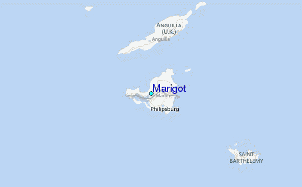
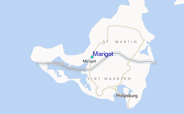
Use this relief map to navigate to tide stations, surf breaks and cities that are in the area of Marigot.
Other Nearby Locations' tide tables and tide charts to Marigot:
click location name for more details
 Surf breaks close to Marigot:
|
||
|---|---|---|
| Closest surf break | Friars Bay | 2 mi |
| Second closest surf break | Mullet Bay | 3 mi |
| Third closest surf break | Cupecoy | 4 mi |
| Fourth closest surf break | Galion | 4 mi |
| Fifth closest surf break | Guana Bay | 4 mi |


 Nearest
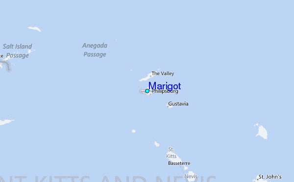