
| Distance / Altitude | Location | Report Date / Time | Live Weather | Wind | Gusts | Temp. | Visibility | Cloud |
|---|---|---|---|---|---|---|---|---|
| 4 km SW / 186 m | St Maarten Juliana Airport (Virgin Islands) | 2026-07-09 14:00 local (2026/07/09 18:00 GMT) | Dry and partly cloudy | moderate winds from the E (20 km/h at 100) | 31°C | 10.0 | scattered | |
| 7 km ENE / 4 m | Wind-adventures.com (Saint Martin) | 2026-07-09 15:00 local (2026/07/09 19:00 GMT) | - | strong winds from the E (39 km/h at 91) | 30°C | - | - - 0 | |
| 14 km NNE / 244 m | Wall Blake Airport (Virgin Islands) | 2026-07-09 14:00 local (2026/07/09 18:00 GMT) | Dry and partly cloudy | fresh winds from the E (31 km/h at 100) | 30°C | 10.0 | scattered | |
| 29 km SE / 5 m | Saint Barthelemy (Saint Barthélemy) | 2026-07-09 15:48 local (2026/07/09 19:48 GMT) | dry | light winds from the ENE (18 km/h at 69) | 32°C | - | - - 0 | |
| 29 km SE / 1 m | Colombier wx (Saint Barthelemy) | 2026-07-09 15:06 local (2026/07/09 19:06 GMT) | dry | wind obs. (23 kph from 296 degs) was rejected (- km/h at -) | 29°C | - | - - 0 | |
| 31 km SE / 1 m | Gustavia wx (Saint Barthelemy) | 2026-07-09 15:39 local (2026/07/09 19:39 GMT) | dry | light winds from the ENE (14 km/h at 63) | — | - | - - 0 | |
| 31 km SE / 290 m | Gustavia/st.bart (Lesser antilles) | 2026-07-09 14:30 local (2026/07/09 18:30 GMT) | Dry and partly cloudy | fresh winds from the ENE.(Wind varies from 040 to 100 degs) (37 km/h at 60) | 31°C | 10.0 | broken broken | |
| 64 km S / 37 m | F.d. Roosevelt Airport St. Eustatius (Netherlands) | 2026-07-09 14:00 local (2026/07/09 18:00 GMT) | no report | moderate winds from the E (25 km/h at 90) | 28°C | - | - | |
| 68 km S / 484 m | F.D. Roosevelt Airport/Oranjestad (Lesser Antilles) | 2026-07-09 13:55 local (2026/07/09 17:55 GMT) | - | fresh winds from the E.(Wind varies from 060 to 120 degs) (35 km/h at 90) | 31°C | |||
| 95 km SSE / 485 m | Golden Rocks/Saint Kitts and Nevis Airport (Lesser Antilles) | 2026-07-09 14:00 local (2026/07/09 18:00 GMT) | - | fresh winds from the E (31 km/h at 80) | 31°C | 10.0 | few |
| Contours: | Roads & Rivers: | Select a
tide station / surf break / city |
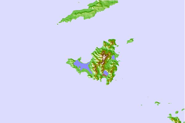
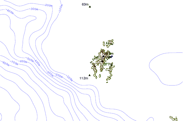
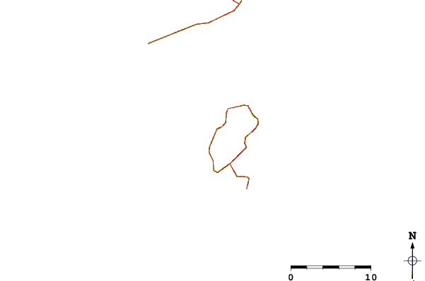
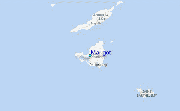
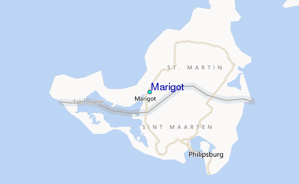
Use this relief map to navigate to tide stations, surf breaks and cities that are in the area of Marigot.
Other Nearby Locations' tide tables and tide charts to Marigot:
click location name for more details
 Surf breaks close to Marigot:
|
||
|---|---|---|
| Closest surf break | Friars Bay | 2 mi |
| Second closest surf break | Mullet Bay | 3 mi |
| Third closest surf break | Cupecoy | 4 mi |
| Fourth closest surf break | Galion | 4 mi |
| Fifth closest surf break | Guana Bay | 4 mi |


 Nearest
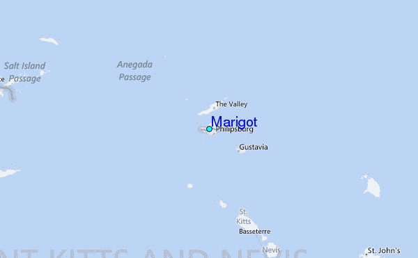