
| Distance / Altitude | Location | Report Date / Time | Live Weather | Wind | Gusts | Temp. | Visibility | Cloud |
|---|---|---|---|---|---|---|---|---|
| 17 km N / 219 m | Corlu Airport (Turkey) | 2025-12-24 14:20 local (2025/12/24 11:20 GMT) | Dry and partly cloudy | light winds from the E (15 km/h at 100) | 12°C | 10.0 | few broken broken | |
| 34 km WSW / 120 m | Tekirdag (Turkey) | 2025-12-24 15:00 local (2025/12/24 12:00 GMT) | no report | light winds from the E (19 km/h at 100) | 12°C | 40 km | - mostly cloudy - | |
| 73 km S / 42 m | BandirmaHavalimani (Turkey) | 2025-12-24 15:00 local (2025/12/24 12:00 GMT) | - | moderate winds from the NE (22 km/h at 40) | — | 10 | - mostly cloudy - | |
| 73 km ENE / 114 m | İstanbul Havalimanı (Turkey) | 2025-12-24 15:00 local (2025/12/24 12:00 GMT) | no report | light winds from the ENE (17 km/h at 70) | 12°C | 30 km | - mostly cloudy - | |
| 73 km S / 42 m | Bandirma Airport (Turkey) | 2025-12-24 15:00 local (2025/12/24 12:00 GMT) | - | calm (4 km/h at 80) | 11°C | 30 km | mostly cloudy | |
| 73 km E / 220 m | Istanbul/Ataturk Airport (Turkey) | 2025-12-24 15:00 local (2025/12/24 12:00 GMT) | Dry and partly cloudy | light winds from the E (9 km/h at 100) | 13°C | 30 km | few mostly cloudy - | |
| 74 km NE / 4 m | Karaburun (Turkey) | 2025-12-24 15:18 local (2025/12/24 12:18 GMT) | dry | light winds from the E (13 km/h at 96) | — | - | - - 0 | |
| 77 km ENE / 148 m | Sultançiftliği Köyü wx (Turkey) | 2025-12-24 15:22 local (2025/12/24 12:22 GMT) | - | calm (0 km/h at 0) | 8°C | - | - - 0 | |
| 95 km E / 61 m | Sariyer (Turkey) | 2025-12-24 15:00 local (2025/12/24 12:00 GMT) | - | moderate winds from the NE (20 km/h at 40) | — | 20 | - mostly cloudy - | |
| 100 km S / 58 m | Kurudeğirmen wx (Turkey) | 2025-12-24 15:35 local (2025/12/24 12:35 GMT) | dry | calm (0 km/h at 0) | 14°C | - | - - 0 |
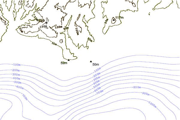
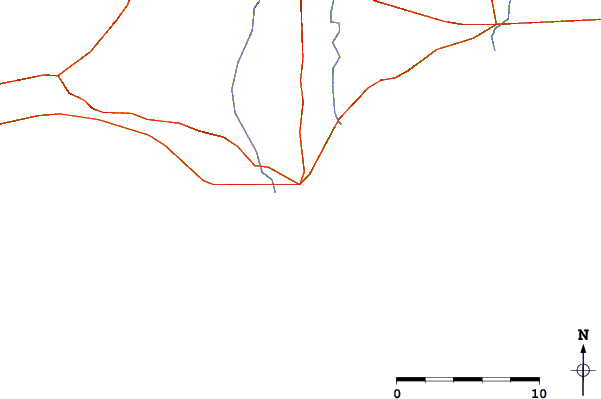
| Contours: | Roads & Rivers: | Select a
tide station / surf break / city |
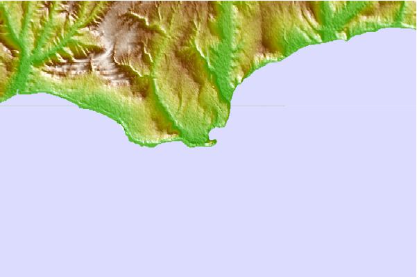
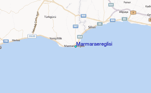
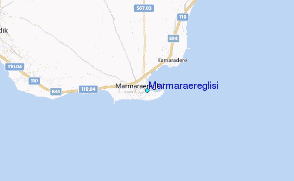
Use this relief map to navigate to tide stations, surf breaks and cities that are in the area of Marmaraereglisi.
Other Nearby Locations' tide tables and tide charts to Marmaraereglisi:
click location name for more details
 Surf breaks close to Marmaraereglisi:
|
||
|---|---|---|
| Closest surf break | Silistar | 73 mi |
| Second closest surf break | Ahtopol | 78 mi |
| Third closest surf break | Varvara | 80 mi |
| Fourth closest surf break | Melnitza | 83 mi |
| Fifth closest surf break | Lozenets Beach | 86 mi |


 Nearest
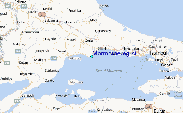