
| Distance / Altitude | Location | Report Date / Time | Live Weather | Wind | Gusts | Temp. | Visibility | Cloud |
|---|---|---|---|---|---|---|---|---|
| 12 km NW / 328 m | Tanegashima Airport (Japan) | 2026-02-16 18:00 local (2026/02/16 09:00 GMT) | Dry and partly cloudy | light winds from the NW (19 km/h at 320) | 14°C | 10.0 | few scattered broken | |
| 53 km NW / 3 m | SHIP8222 (Marine) | 2026-02-16 17:00 local (2026/02/16 08:00 GMT) | - (- km/h at -) | 16°C | - | |||
| 124 km NW / 20 m | Kaseda-shirakame wx (Japan) | 2026-02-16 19:28 local (2026/02/16 10:28 GMT) | - | calm (2 km/h at 311) | 12°C | - | - - 0 | |
| 152 km N / 474 m | Kagoshima Airport (Japan) | 2026-02-16 18:00 local (2026/02/16 09:00 GMT) | Light rain | light winds from the W (7 km/h at 270) | — | 0.0 | no significant cloud broken overcast | |
| 164 km NNE / 475 m | Miyazaki Airport (Japan) | 2026-02-16 18:00 local (2026/02/16 09:00 GMT) | Dry and partly cloudy | light winds from the SW (7 km/h at 220) | 15°C | 10.0 | few scattered broken | |
| 52 km NW / 15 m | SHIP2645 (Marine) | 2026-02-16 17:00 local (2026/02/16 08:00 GMT) | - (- km/h at -) | — | - km | |||
| 52 km NW / 3 m | SHIP3515 (Marine) | 2026-02-16 17:00 local (2026/02/16 08:00 GMT) | - (- km/h at -) | 16°C | - | |||
| 52 km NW / 15 m | SHIP10424 (Marine) | 2026-02-16 17:00 local (2026/02/16 08:00 GMT) | - (- km/h at -) | — | - km | |||
| 67 km WNW / 15 m | SHIP2177 (Marine) | 2026-02-16 18:00 local (2026/02/16 09:00 GMT) | - (- km/h at -) | — | - km | |||
| 67 km WNW / 15 m | SHIP6210 (Marine) | 2026-02-16 18:00 local (2026/02/16 09:00 GMT) | - (- km/h at -) | — | - km |
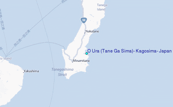
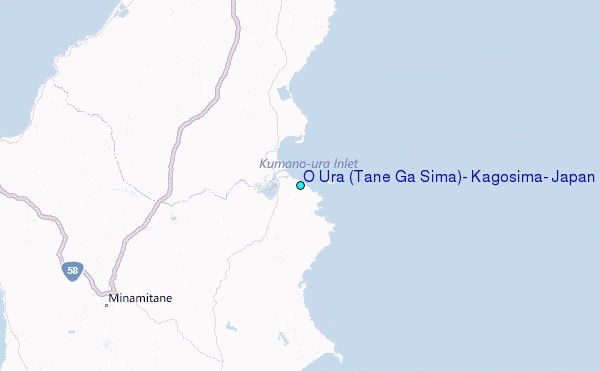
Choose O Ura (Tane Ga Sima), Kagosima, Japan Location Map Zoom:
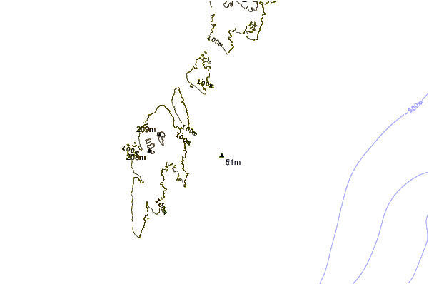
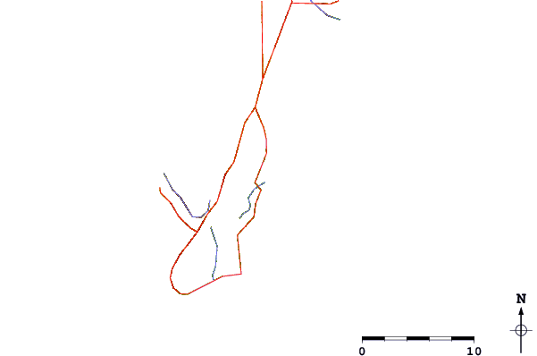
| Contours: | Roads & Rivers: | Select a
tide station / surf break / city |
Use this relief map to navigate to tide stations, surf breaks and cities that are in the area of O Ura (Tane Ga Sima), Kagosima, Japan.
Other Nearby Locations' tide tables and tide charts to O Ura (Tane Ga Sima), Kagosima, Japan:
click location name for more details
 Surf breaks close to O Ura (Tane Ga Sima), Kagosima, Japan:
|
||
|---|---|---|
| Closest surf break | Cape Toi | 67 mi |
| Second closest surf break | Nagata | 68 mi |
| Third closest surf break | Kojima | 73 mi |
| Fourth closest surf break | Nichinan | 83 mi |
| Fifth closest surf break | Unnamed | 85 mi |


 Nearest
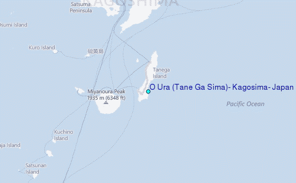