
| Distance / Altitude | Location | Report Date / Time | Live Weather | Wind | Gusts | Temp. | Visibility | Cloud |
|---|---|---|---|---|---|---|---|---|
| 12 km NW / 328 m | Tanegashima Airport (Japan) | 2026-07-10 04:00 local (2026/07/09 19:00 GMT) | Dry and cloudy | light winds from the E.(Wind varies from 040 to 130 degs) (19 km/h at 100) | 25°C | 9.0 | overcast | |
| 82 km E / 15 m | hy2c132E31N (Marine) | 2026-07-10 03:02 local (2026/07/09 18:02 GMT) | fresh winds from the E (29 km/h at 95) | — | - km | |||
| 103 km S / 15 m | hy2c131E30N (Marine) | 2026-07-10 03:02 local (2026/07/09 18:02 GMT) | fresh winds from the E (37 km/h at 92) | — | - km | |||
| 108 km S / 15 m | hy2c130E30N (Marine) | 2026-07-10 03:02 local (2026/07/09 18:02 GMT) | strong winds from the E (39 km/h at 95) | — | - km | |||
| 121 km SE / 15 m | hy2c132E30N (Marine) | 2026-07-10 03:02 local (2026/07/09 18:02 GMT) | fresh winds from the E (33 km/h at 90) | — | - km | |||
| 123 km NW / 20 m | Kaseda-shirakame wx (Japan) | 2026-07-10 04:40 local (2026/07/09 19:40 GMT) | - | calm (5 km/h at 77) | 27°C | - | - - 0 | |
| 163 km NNE / 475 m | Miyazaki Airport (Japan) | 2026-07-10 04:00 local (2026/07/09 19:00 GMT) | Dry and partly cloudy | light winds from the NNW.(Wind varies from 300 to 010 degs) (7 km/h at 330) | 24°C | 10.0 | few scattered broken | |
| 173 km S / 15 m | hy2c130E29N (Marine) | 2026-07-10 03:02 local (2026/07/09 18:02 GMT) | fresh winds from the E (36 km/h at 88) | — | - km | |||
| 187 km S / 15 m | hy2c131E29N (Marine) | 2026-07-10 03:02 local (2026/07/09 18:02 GMT) | fresh winds from the E (37 km/h at 90) | — | - km | |||
| 191 km E / 15 m | hy2c133E31N (Marine) | 2026-07-10 03:02 local (2026/07/09 18:02 GMT) | moderate winds from the E (25 km/h at 92) | — | - km |
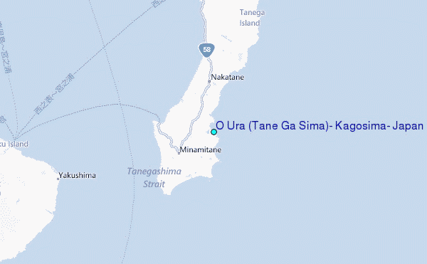
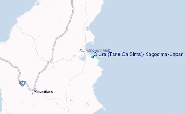
Choose O Ura (Tane Ga Sima), Kagosima, Japan Location Map Zoom:
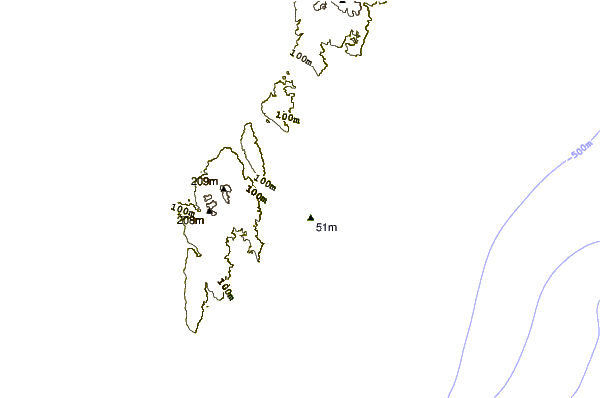
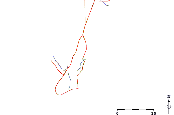
| Contours: | Roads & Rivers: | Select a
tide station / surf break / city |
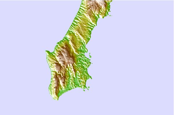
Use this relief map to navigate to tide stations, surf breaks and cities that are in the area of O Ura (Tane Ga Sima), Kagosima, Japan.
Other Nearby Locations' tide tables and tide charts to O Ura (Tane Ga Sima), Kagosima, Japan:
click location name for more details
 Surf breaks close to O Ura (Tane Ga Sima), Kagosima, Japan:
|
||
|---|---|---|
| Closest surf break | Cape Toi | 67 mi |
| Second closest surf break | Nagata | 68 mi |
| Third closest surf break | Kojima | 73 mi |
| Fourth closest surf break | Nichinan | 83 mi |
| Fifth closest surf break | Unnamed | 85 mi |


 Nearest
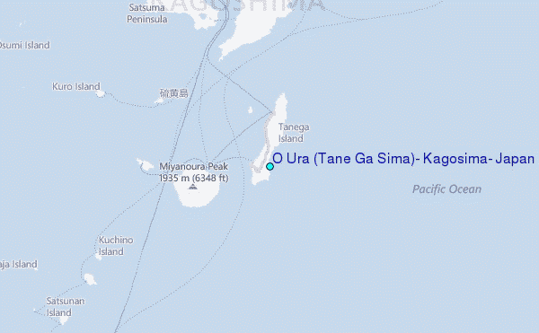