
| Distance / Altitude | Location | Report Date / Time | Live Weather | Wind | Gusts | Temp. | Visibility | Cloud |
|---|---|---|---|---|---|---|---|---|
| 56 km E / 186 m | Piura-Capitán FAP Guillermo Concha Iberico International (Peru) | 2025-12-25 01:00 local (2025/12/25 06:00 GMT) | State of sky unchanged | light winds from the S (13 km/h at 170) | 21°C | 30 km | - clear - | |
| 58 km E / 1 m | Piura/Capitán FAP Guillermo Concha Iberico International Airport (Peru) | 2025-12-25 02:00 local (2025/12/25 07:00 GMT) | - | light winds from the SSW (11 km/h at 200) | — | 0.0 | ||
| 234 km SE / 212 m | Chiclayo/Capitán FAP José A. Quiñones Gonzales International Airport (Peru) | 2025-12-25 02:00 local (2025/12/25 07:00 GMT) | - | moderate winds from the S (24 km/h at 170) | — | 0.0 | ||
| 236 km SE / 30 m | Chiclayo (Peru) | 2025-12-25 01:00 local (2025/12/25 06:00 GMT) | State of sky unchanged | moderate winds from the S (20 km/h at 180) | 19°C | 30 km | clear | |
| 319 km E / 359 m | lightning 80km N of La Peca (Peru) | 2025-12-25 01:06 local (2025/12/25 06:06 GMT) | Thunderstorm | (- km/h at -) | — | |||
| 354 km NNE / 211 m | Guayaquil/José Joaquín de Olmedo International Airport (Ecuador) | 2025-12-25 02:00 local (2025/12/25 07:00 GMT) | Dry and partly cloudy | moderate winds from the SW (20 km/h at 230) | 24°C | 10.0 | few scattered broken | |
| 399 km SSE / 30 m | Trujillo(84501-0) (Peru) | 2025-12-25 01:00 local (2025/12/25 06:00 GMT) | Mist | light winds from the SSE (9 km/h at 150) | 18°C | 27 km | clear | |
| 404 km SE / 215 m | Trujillo Airport (Peru) | 2025-12-25 02:00 local (2025/12/25 07:00 GMT) | Dry and partly cloudy | light winds from the SSE (11 km/h at 150) | 18°C | 6.0 | no significant cloud | |
| 551 km NNE / 3200 m | Latacunga (Ecuador) | 2025-12-25 03:28 local (2025/12/25 08:28 GMT) | dry | calm (0 km/h at 249) | 7°C | - | - - 0 | |
| 628 km NNE / 2400 m | Quito New International Airport (Ecuador) | 2025-12-25 02:00 local (2025/12/25 07:00 GMT) | Dry and partly cloudy | wind obs. (9 kph from 360 degs) was rejected (- km/h at -) | 13°C | 10.0 | broken broken |
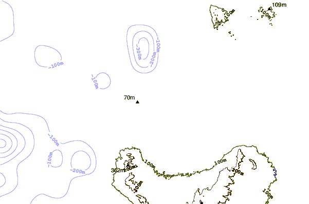
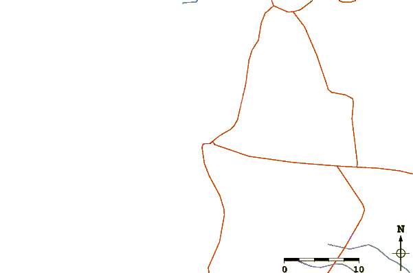
| Contours: | Roads & Rivers: | Select a
tide station / surf break / city |
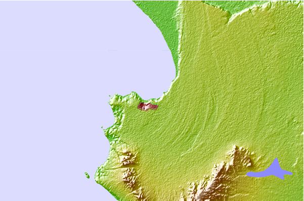
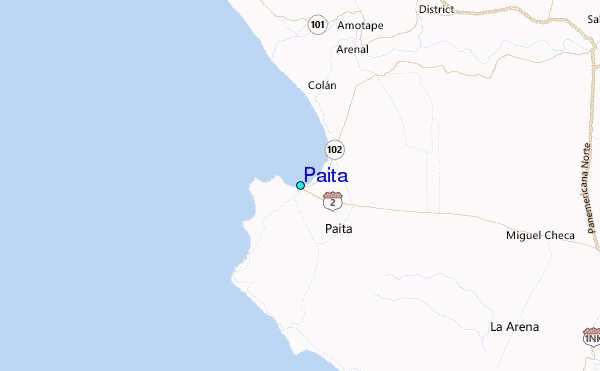
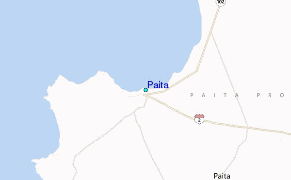
Use this relief map to navigate to tide stations, surf breaks and cities that are in the area of Paita.
Other Nearby Locations' tide tables and tide charts to Paita:
click location name for more details
 Surf breaks close to Paita:
|
||
|---|---|---|
| Closest surf break | Punta Negra | 5 mi |
| Second closest surf break | Colan | 6 mi |
| Third closest surf break | Yacila | 6 mi |
| Fourth closest surf break | La Islilla | 11 mi |
| Fifth closest surf break | Punta Balcones | 32 mi |


 Nearest
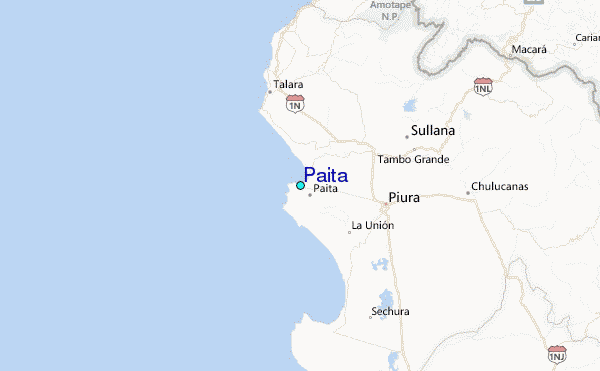