
| Distance / Altitude | Location | Report Date / Time | Live Weather | Wind | Gusts | Temp. | Visibility | Cloud |
|---|---|---|---|---|---|---|---|---|
| 58 km E / 1 m | Piura/Capitán FAP Guillermo Concha Iberico International Airport (Peru) | 2026-07-09 13:00 local (2026/07/09 18:00 GMT) | Dry and partly cloudy | light winds from the SSW (13 km/h at 210) | 29°C | 10.0 | broken | |
| 59 km NW / 220 m | Talara/Cap. FAP Víctor Montes Arias International Airport (Peru) | 2026-07-09 13:00 local (2026/07/09 18:00 GMT) | - | moderate winds from the S (24 km/h at 190) | — | 0.0 | ||
| 188 km NNE / 158 m | Tumbes Pedro Canga Rodríguez Airport (Peru) | 2026-07-09 13:00 local (2026/07/09 18:00 GMT) | Dry and partly cloudy | light winds from the NW (11 km/h at 310) | 30°C | 10.0 | broken | |
| 221 km NE / 52 m | Machala Larrea Airport (Ecuador) | 2026-07-09 13:00 local (2026/07/09 18:00 GMT) | Dry and partly cloudy | wind obs. (7 kph from 20 degs) was rejected (- km/h at -) | 31°C | 10.0 | few broken - | |
| 226 km ENE / 1237 m | Ciudad de Catamayo Airport (Ecuador) | 2026-07-09 13:00 local (2026/07/09 18:00 GMT) | - | light winds from the ENE (17 km/h at 70) | 29°C | 10.0 | few - - | |
| 234 km SE / 212 m | Chiclayo/Capitán FAP José A. Quiñones Gonzales International Airport (Peru) | 2026-07-09 13:00 local (2026/07/09 18:00 GMT) | Dry and cloudy | light winds from the ESE.(Wind varies from 050 to 160 degs) (6 km/h at 110) | 26°C | 10.0 | overcast | |
| 319 km N / 8 m | Salinas/Gen Ulpi Airport (Ecuador) | 2026-07-09 13:00 local (2026/07/09 18:00 GMT) | Dry and partly cloudy | light winds from the SSW (19 km/h at 210) | 28°C | 10.0 | few scattered - | |
| 341 km NE / 2531 m | Cuenca/Mariscal Airport (Ecuador) | 2026-07-09 13:00 local (2026/07/09 18:00 GMT) | - | wind obs. (17 kph from 50 degs) was rejected (- km/h at -) | — | 10.0 | overcast - - | |
| 354 km NNE / 211 m | Guayaquil/José Joaquín de Olmedo International Airport (Ecuador) | 2026-07-09 13:00 local (2026/07/09 18:00 GMT) | Dry and partly cloudy | light winds from the SSE (15 km/h at 150) | 30°C | 10.0 | scattered | |
| 368 km SE / 2934 m | Cajamarca/Major General FAP Armando Revoredo Iglesias Airport (Peru) | 2026-07-09 13:30 local (2026/07/09 18:30 GMT) | - | light winds from the E.(Wind varies from 010 to 160 degs) (7 km/h at 90) | — | 10.0 | few scattered - |
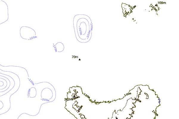
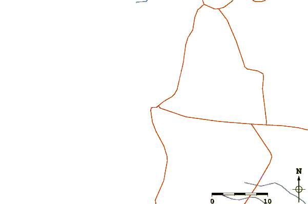
| Contours: | Roads & Rivers: | Select a
tide station / surf break / city |
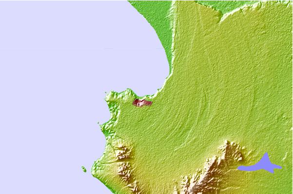
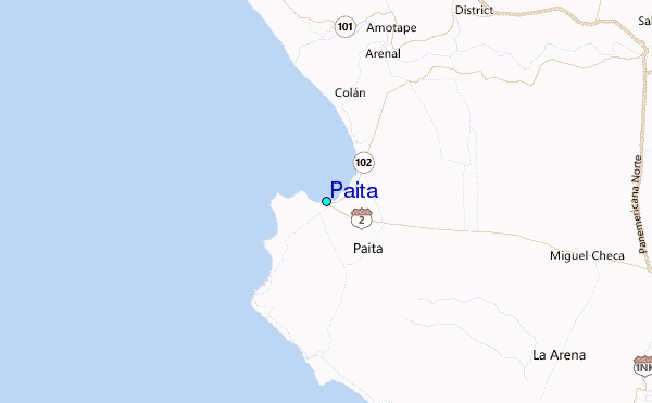
Use this relief map to navigate to tide stations, surf breaks and cities that are in the area of Paita.
Other Nearby Locations' tide tables and tide charts to Paita:
click location name for more details
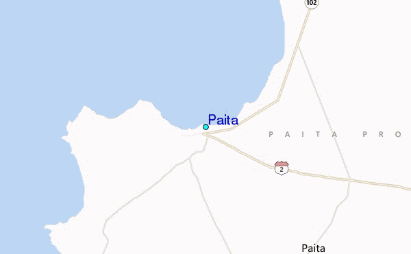
 Surf breaks close to Paita:
|
||
|---|---|---|
| Closest surf break | Punta Negra | 5 mi |
| Second closest surf break | Colan | 6 mi |
| Third closest surf break | Yacila | 6 mi |
| Fourth closest surf break | La Islilla | 11 mi |
| Fifth closest surf break | Punta Balcones | 32 mi |


 Nearest
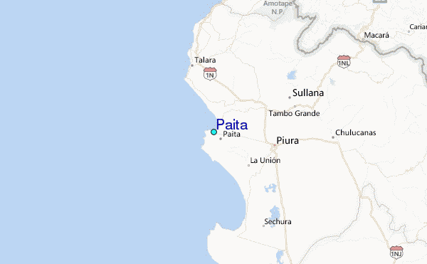