
| Distance / Altitude | Location | Report Date / Time | Live Weather | Wind | Gusts | Temp. | Visibility | Cloud |
|---|---|---|---|---|---|---|---|---|
| 27 km E / 215 m | Le Raizet Airport (Lesser Antilles) | 2026-02-18 00:30 local (2026/02/18 04:30 GMT) | - | calm (4 km/h at 110) | — | 0.0 | ||
| 27 km E / 9 m | Pointe-à-Pitre International Airport (Guadeloupe, Saint Martin, Saint Barthelemy and other French islands in the vicinity) | 2026-02-17 23:00 local (2026/02/18 03:00 GMT) | no report | calm (0 km/h at 150) | 24°C | - | - | |
| 37 km SW / 15 m | SHIP6007 (Marine) | 2026-02-17 23:00 local (2026/02/18 03:00 GMT) | - (- km/h at -) | — | 17.7 km | |||
| 44 km ENE / 50 m | 876 (Guadeloupe) | 2026-02-18 01:00 local (2026/02/18 05:00 GMT) | - | moderate winds from the SSE (22 km/h at 167) | 25°C | - | - - 0 | |
| 37 km SW / 3 m | SHIP8399 (Marine) | 2026-02-17 23:00 local (2026/02/18 03:00 GMT) | - (- km/h at -) | 25°C | 20.4 | |||
| 37 km SW / 15 m | SHIP4673 (Marine) | 2026-02-17 23:00 local (2026/02/18 03:00 GMT) | - (- km/h at -) | — | 17.7 km | |||
| 37 km SW / 15 m | SHIP2432 (Marine) | 2026-02-17 23:00 local (2026/02/18 03:00 GMT) | - (- km/h at -) | — | 17.7 km | |||
| 37 km SW / 3 m | SHIP8927 (Marine) | 2026-02-17 23:00 local (2026/02/18 03:00 GMT) | - (- km/h at -) | 25°C | 20.4 | |||
| 37 km SW / 3 m | SHIP6238 (Marine) | 2026-02-17 23:00 local (2026/02/18 03:00 GMT) | - (- km/h at -) | 25°C | 20.4 | |||
| 37 km SW / 3 m | SHIP2166 (Marine) | 2026-02-17 23:00 local (2026/02/18 03:00 GMT) | - (- km/h at -) | 25°C | 20.4 |
| Contours: | Roads & Rivers: | Select a
tide station / surf break / city |
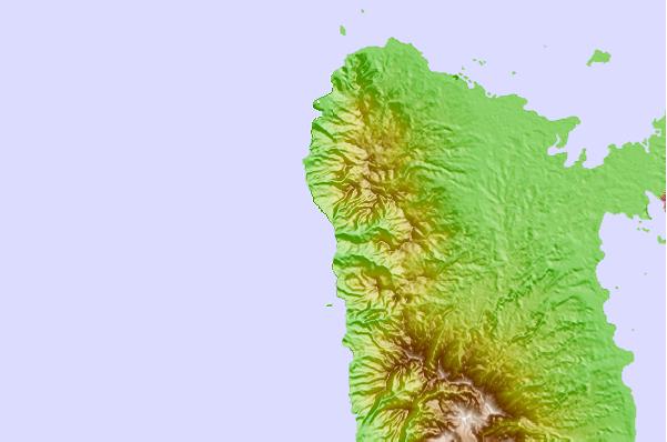
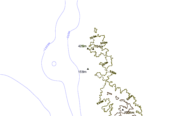
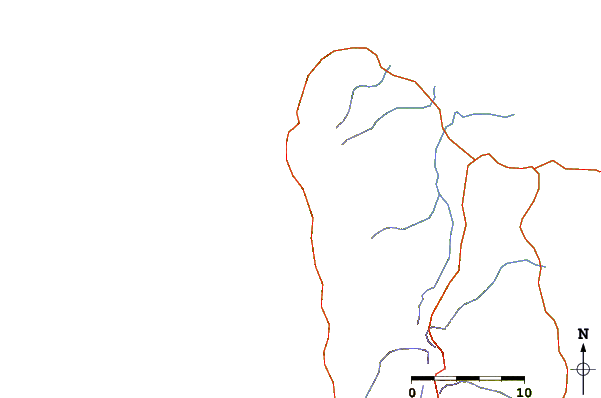
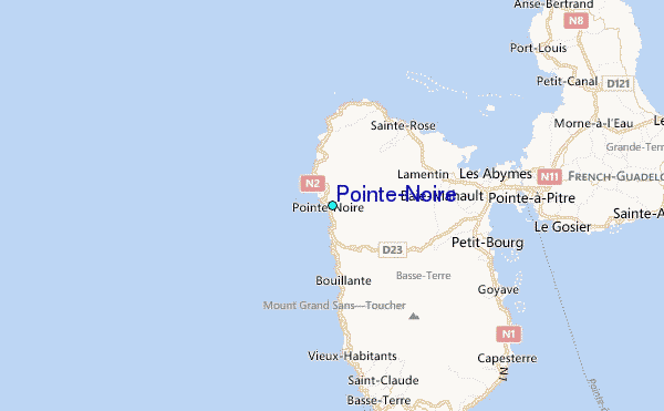
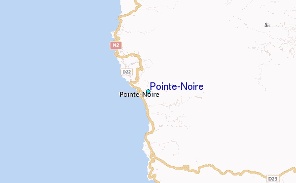
Use this relief map to navigate to tide stations, surf breaks and cities that are in the area of Pointe-Noire.
Other Nearby Locations' tide tables and tide charts to Pointe-Noire:
click location name for more details
 Surf breaks close to Pointe-Noire:
|
||
|---|---|---|
| Closest surf break | La Perle | 7 mi |
| Second closest surf break | Hotel Novotel | 17 mi |
| Third closest surf break | Bananier | 20 mi |
| Fourth closest surf break | Antigues Cape | 21 mi |
| Fifth closest surf break | Port Louis | 21 mi |


 Nearest
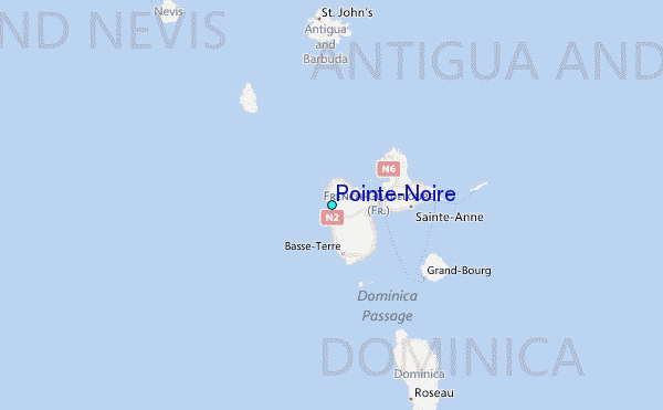