
| Distance / Altitude | Location | Report Date / Time | Live Weather | Wind | Gusts | Temp. | Visibility | Cloud |
|---|---|---|---|---|---|---|---|---|
| 27 km E / 215 m | Le Raizet Airport (Lesser Antilles) | 2026-07-09 16:30 local (2026/07/09 20:30 GMT) | Dry and partly cloudy | moderate winds from the E (24 km/h at 80) | 31°C | 10.0 | few scattered broken | |
| 44 km ENE / 50 m | 876 (Guadeloupe) | 2026-07-09 17:00 local (2026/07/09 21:00 GMT) | - | near gales from the E (57 km/h at 90) | 28°C | - | - - 0 | |
| 75 km WNW / 168 m | John Osborne Airport (Montserrat) | 2026-07-09 16:00 local (2026/07/09 20:00 GMT) | - | fresh winds from the SE.(Wind varies from 060 to 130 degs) (33 km/h at 130) | 28°C | 10.0 | few | |
| 90 km SSE / 429 m | Canefield Airport (Dominican Republic) | 2026-07-09 16:00 local (2026/07/09 20:00 GMT) | - | light winds from the E (13 km/h at 100) | 31°C | 10.0 | few | |
| 95 km N / 6 m | Renfrew (Antigua and Barbuda) | 2026-07-09 16:15 local (2026/07/09 20:15 GMT) | dry | light winds from the E (11 km/h at 86) | 29°C | - | - - 0 | |
| 96 km SE / 339 m | Melville Hall AR Airport (Dominican Republic) | 2026-07-09 16:00 local (2026/07/09 20:00 GMT) | Dry and partly cloudy | light winds from the ESE (19 km/h at 110) | 29°C | 10.0 | scattered | |
| 98 km N / 211 m | Coolidge/Antigua Airport (Lesser Antilles) | 2026-07-09 16:00 local (2026/07/09 20:00 GMT) | Dry and partly cloudy | moderate winds from the E.(Wind varies from 060 to 140 degs) (26 km/h at 90) | 30°C | 10.0 | scattered | |
| 134 km WNW / 390 m | Charlestown/Vance W. Amory International Airport (Lesser Antilles) | 2026-07-09 16:00 local (2026/07/09 20:00 GMT) | Dry and partly cloudy | fresh winds from the E (35 km/h at 80) | 30°C | 10.0 | scattered | |
| 136 km WNW / 168 m | Jessups Village (Åland) | 2026-07-09 16:37 local (2026/07/09 20:37 GMT) | dry | light winds from the ENE (10 km/h at 78) | 29°C | - | - - 0 | |
| 152 km WNW / 485 m | Golden Rocks/Saint Kitts and Nevis Airport (Lesser Antilles) | 2026-07-09 16:00 local (2026/07/09 20:00 GMT) | - | fresh winds from the ENE (33 km/h at 70) | 31°C | 10.0 | few |
| Contours: | Roads & Rivers: | Select a
tide station / surf break / city |
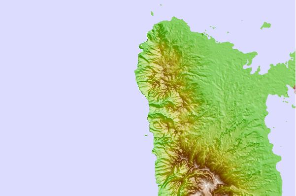
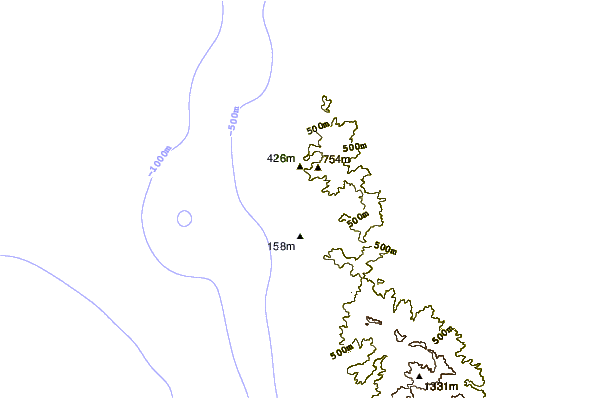
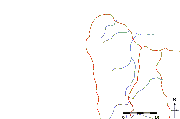
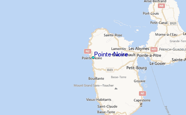
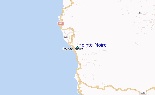
Use this relief map to navigate to tide stations, surf breaks and cities that are in the area of Pointe-Noire.
Other Nearby Locations' tide tables and tide charts to Pointe-Noire:
click location name for more details
 Surf breaks close to Pointe-Noire:
|
||
|---|---|---|
| Closest surf break | La Perle | 7 mi |
| Second closest surf break | Hotel Novotel | 17 mi |
| Third closest surf break | Bananier | 20 mi |
| Fourth closest surf break | Antigues Cape | 21 mi |
| Fifth closest surf break | Port Louis | 21 mi |


 Nearest
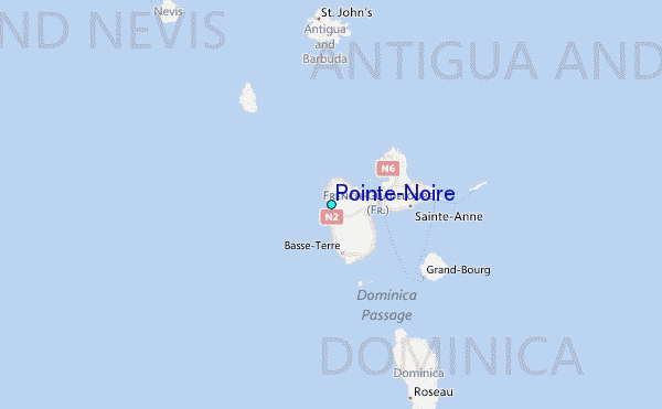