
| Distance / Altitude | Location | Report Date / Time | Live Weather | Wind | Gusts | Temp. | Visibility | Cloud |
|---|---|---|---|---|---|---|---|---|
| 43 km SE / 33 m | St. Anthony- Nfld (Canada) | 2026-01-15 04:00 local (2026/01/15 08:00 GMT) | - | strong winds from the SW (40 km/h at 230) | — | 36 km | - overcast - | |
| 44 km SSE / 196 m | Saint Anthony Airport (Newfoundland) | 2026-01-15 03:35 local (2026/01/15 07:35 GMT) | Dry and cloudy | light winds from the S (11 km/h at 190) | 2°C | 14 | overcast | |
| 60 km SW / 216 m | Blanc Sablon Airport (Quebec) | 2026-01-15 03:00 local (2026/01/15 07:00 GMT) | Mist - | light winds from the WSW (17 km/h at 250) | 0°C | 2 | overcast | |
| 61 km SW / 37 m | LourdesDEBlanc Sablon A- Que (Canada) | 2026-01-15 04:00 local (2026/01/15 08:00 GMT) | - | light winds from the SSW (11 km/h at 200) | — | 3.2 km | - overcast - | |
| 74 km NNE / 217 m | Mary's Harbour Airport (Newfoundland) | 2026-01-15 03:39 local (2026/01/15 07:39 GMT) | Dry and cloudy | light winds from the SSW (11 km/h at 210) | 1°C | 13 | overcast | |
| 77 km NNE / 12 m | Mary s Harbour- Nfld (Canada) | 2026-01-15 04:00 local (2026/01/15 08:00 GMT) | - | wind obs. (22 kph from 250 degs) was rejected (- km/h at -) | — | - | - | |
| 91 km S / 6 m | FerollePoint(Aut)- Nfld (Canada) | 2026-01-15 04:00 local (2026/01/15 08:00 GMT) | - | strong winds from the SSW (50 km/h at 200) | — | - | - no observation - | |
| 91 km S / 216 m | Ferolle Point Airport (Newfoundland) | 2026-01-15 03:00 local (2026/01/15 07:00 GMT) | - | light winds from the SW (19 km/h at 230) | 1°C | 0.0 | ||
| 113 km S / 30 m | Englee (Aut)- Nfld (Canada) | 2026-01-15 04:00 local (2026/01/15 08:00 GMT) | - | wind obs. (47 kph from 280 degs) was rejected (- km/h at -) | — | - | - - - | |
| 207 km SSE / 194 m | La Scie, Newfoundland (Canada) | 2026-01-15 03:00 local (2026/01/15 07:00 GMT) | - | wind obs. (14 kph from 230 degs) was rejected (- km/h at -) | — | - | - - - |
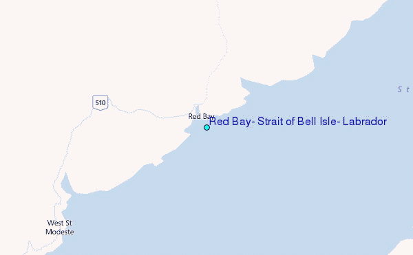
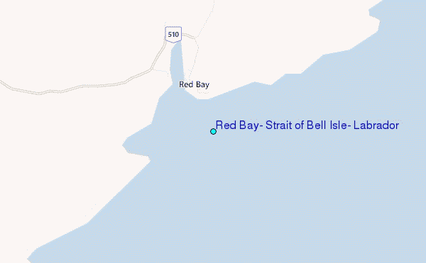
Choose Red Bay, Strait of Bell Isle, Labrador Location Map Zoom:
| Contours: | Roads & Rivers: | Select a
tide station / surf break / city |
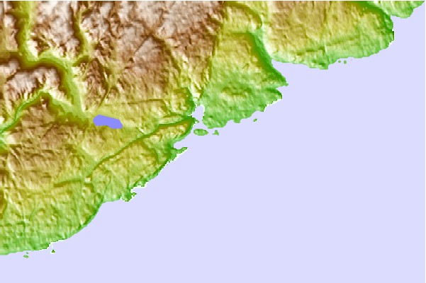
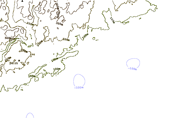
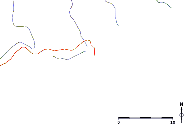
Use this relief map to navigate to tide stations, surf breaks and cities that are in the area of Red Bay, Strait of Bell Isle, Labrador.
Other Nearby Locations' tide tables and tide charts to Red Bay, Strait of Bell Isle, Labrador:
click location name for more details
 Surf breaks close to Red Bay, Strait of Bell Isle, Labrador:
|
||
|---|---|---|
| Closest surf break | Ingonish Beach | 394 mi |
| Second closest surf break | Kennington Cove | 436 mi |
| Third closest surf break | Michaud Point | 467 mi |
| Fourth closest surf break | Martinique | 576 mi |
| Fifth closest surf break | Lawrencetown Left Point | 583 mi |


 Nearest
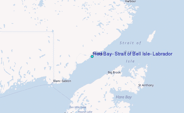