
| Distance / Altitude | Location | Report Date / Time | Live Weather | Wind | Gusts | Temp. | Visibility | Cloud |
|---|---|---|---|---|---|---|---|---|
| 122 km SE / 195 m | LA Grande Riviere A- Que (Canada) | 2026-07-26 10:00 local (2026/07/26 14:00 GMT) | no report | - (- km/h at -) | 6°C | - | - - - | |
| 123 km SE / 217 m | La Grande Rivier Airport (Quebec) | 2026-07-26 10:00 local (2026/07/26 14:00 GMT) | Dry and partly cloudy | light winds from the W.(Wind varies from 240 to 360 degs) (6 km/h at 280) | 10°C | 24 | few scattered | |
| 128 km NE / 164 m | Kuujjuarapik Airport (Quebec) | 2026-07-26 10:44 local (2026/07/26 14:44 GMT) | - | light winds from the W.(Wind varies from 180 to 280 degs) (7 km/h at 260) | 10°C | 14 | few | |
| 130 km NE / 12 m | Kuujjuarapik Arpt (Canada) | 2026-07-26 10:00 local (2026/07/26 14:00 GMT) | no report | calm (4 km/h at 310) | 8°C | - | - | |
| 240 km N / 34 m | Sanikiluaq (Canada) | 2026-07-26 10:00 local (2026/07/26 14:00 GMT) | no report | wind obs. (40 kph from 260 degs) was rejected (- km/h at -) | 4°C | - | - - - | |
| 244 km S / 173 m | Eastmain River Airport (Quebec) | 2026-07-26 10:00 local (2026/07/26 14:00 GMT) | Dry and partly cloudy | light winds from the WNW.(Wind varies from 250 to 350 degs) (9 km/h at 300) | 10°C | 24 | scattered | |
| 276 km SSW / 9 m | Attawapiskat Airport (Canada) | 2026-07-26 10:36 local (2026/07/26 14:36 GMT) | Dry and cloudy | light winds from the WSW.(Wind varies from 220 to 280 degs) (9 km/h at 240) | 15°C | 14 | broken overcast | |
| 359 km E / 714 m | Aéroport de La Grande-4 (Quebec) | 2026-07-26 10:00 local (2026/07/26 14:00 GMT) | no report | light winds from the WSW (14 km/h at 250) | 8°C | 14 | overcast - - | |
| 359 km S / 9 m | Moosonee Airport (Ontario) | 2026-07-26 10:00 local (2026/07/26 14:00 GMT) | - | calm (4 km/h at 240) | 13°C | 0.0 | ||
| 359 km E / 714 m | LA Grande-4 Airport (Quebec) | 2026-07-26 10:00 local (2026/07/26 14:00 GMT) | no report | light winds from the WSW (14 km/h at 250) | 8°C | 14 | broken overcast - |
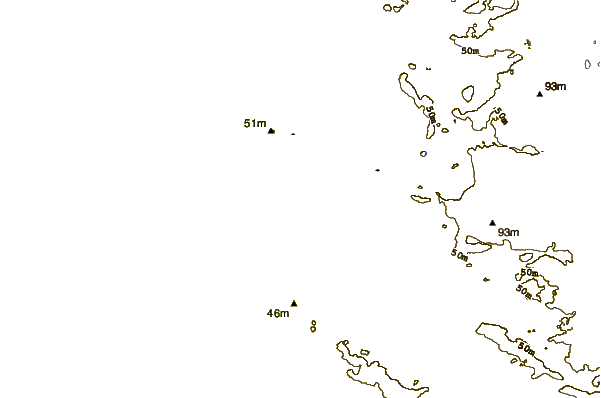
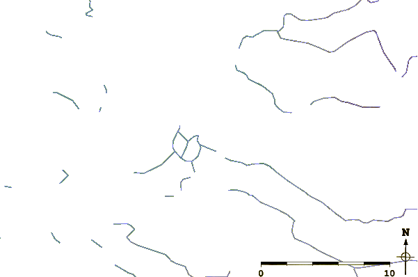
| Contours: | Roads & Rivers: | Select a
tide station / surf break / city |
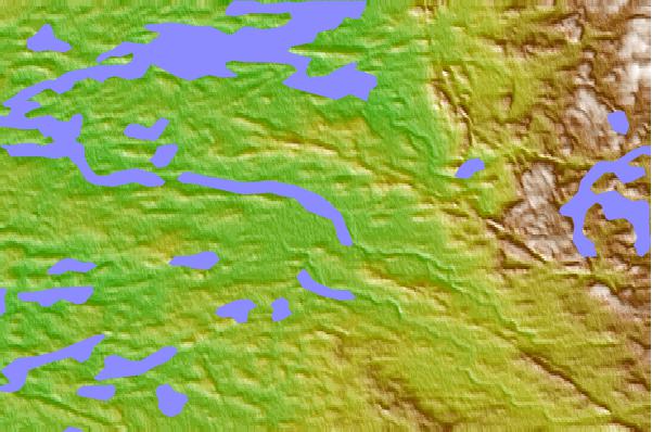
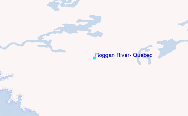
Use this relief map to navigate to tide stations, surf breaks and cities that are in the area of Roggan River, Quebec.
Other Nearby Locations' tide tables and tide charts to Roggan River, Quebec:
click location name for more details
 Surf breaks close to Roggan River, Quebec:
|
||
|---|---|---|
| Closest surf break | Marathon | 506 mi |
| Second closest surf break | Alona Bay | 556 mi |
| Third closest surf break | Au Sable Point | 617 mi |
| Fourth closest surf break | Grand Marias | 617 mi |
| Fifth closest surf break | Manitoulin Island | 617 mi |


 Nearest
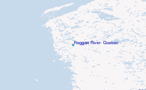