
| Distance / Altitude | Location | Report Date / Time | Live Weather | Wind | Gusts | Temp. | Visibility | Cloud |
|---|---|---|---|---|---|---|---|---|
| 69 km W / 15 m | hy2b281E65N (Marine) | 2026-07-26 08:03 local (2026/07/26 12:03 GMT) | light winds from the E (10 km/h at 82) | — | - km | |||
| 74 km ESE / 50 m | Cape Dorset Climate- NU (Canada) | 2026-07-26 10:00 local (2026/07/26 14:00 GMT) | no report | light winds from the E (14 km/h at 80) | 0°C | - | - - - | |
| 75 km ESE / 217 m | Cape Dorset Airport (N.w. Territories) | 2026-07-26 09:00 local (2026/07/26 13:00 GMT) | Fog - | moderate winds from the E (24 km/h at 90) | — | 0 | ||
| 80 km SW / 15 m | hy2b280E64N (Marine) | 2026-07-26 08:03 local (2026/07/26 12:03 GMT) | light winds from the ENE (18 km/h at 78) | — | - km | |||
| 80 km SSW / 15 m | hy2b281E64N (Marine) | 2026-07-26 08:03 local (2026/07/26 12:03 GMT) | light winds from the E (14 km/h at 85) | — | - km | |||
| 135 km ESE / 15 m | hy2b284E64N (Marine) | 2026-07-26 08:03 local (2026/07/26 12:03 GMT) | moderate winds from the ESE (21 km/h at 110) | — | - km | |||
| 171 km ESE / 15 m | hy2b285E64N (Marine) | 2026-07-26 08:03 local (2026/07/26 12:03 GMT) | moderate winds from the ESE (23 km/h at 110) | — | - km | |||
| 179 km S / 15 m | hy2b280E63N (Marine) | 2026-07-26 08:03 local (2026/07/26 12:03 GMT) | light winds from the SW (8 km/h at 215) | — | - km | |||
| 189 km SSE / 15 m | hy2b284E63N (Marine) | 2026-07-26 08:03 local (2026/07/26 12:03 GMT) | light winds from the W (12 km/h at 275) | — | - km | |||
| 189 km S / 15 m | hy2b281E63N (Marine) | 2026-07-26 08:03 local (2026/07/26 12:03 GMT) | light winds from the SSW (9 km/h at 210) | — | - km |
| Contours: | Roads & Rivers: | Select a
tide station / surf break / city |
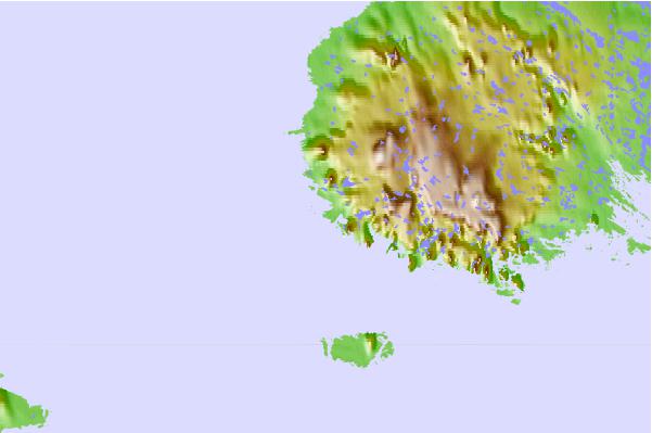
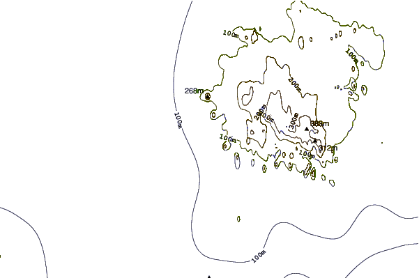
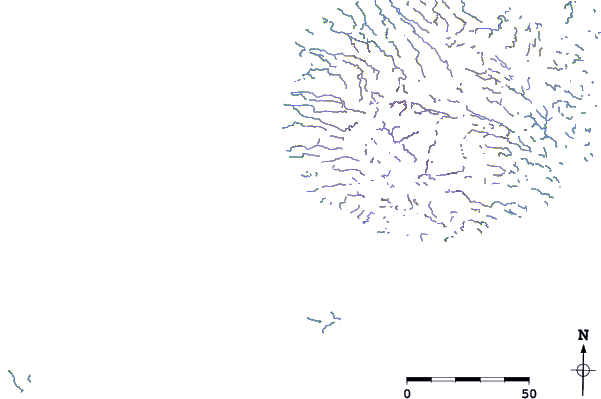
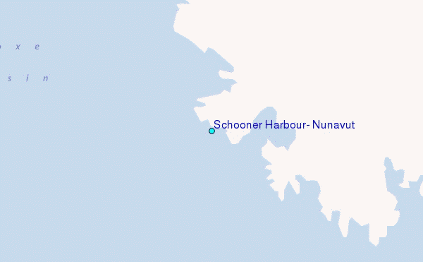
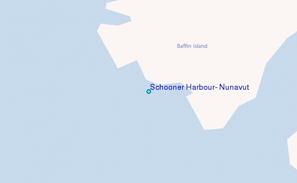
Use this relief map to navigate to tide stations, surf breaks and cities that are in the area of Schooner Harbour, Nunavut.
Other Nearby Locations' tide tables and tide charts to Schooner Harbour, Nunavut:
click location name for more details
 Surf breaks close to Schooner Harbour, Nunavut:
|
||
|---|---|---|
| Closest surf break | Marathon | 1130 mi |
| Second closest surf break | Alona Bay | 1219 mi |
| Third closest surf break | Keweenaw Peninsula | 1233 mi |
| Fourth closest surf break | Au Sable Point | 1265 mi |
| Fifth closest surf break | Grand Marias | 1265 mi |


 Nearest
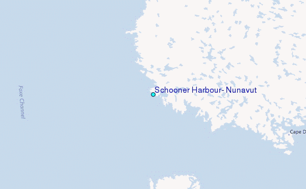