
| Distance / Altitude | Location | Report Date / Time | Live Weather | Wind | Gusts | Temp. | Visibility | Cloud |
|---|---|---|---|---|---|---|---|---|
| 74 km ESE / 50 m | Cape Dorset Climate- NU (Canada) | 2026-07-26 06:00 local (2026/07/26 10:00 GMT) | no report | moderate winds from the ENE (22 km/h at 70) | 0°C | - | - - - | |
| 75 km ESE / 217 m | Cape Dorset Airport (N.w. Territories) | 2026-07-26 05:00 local (2026/07/26 09:00 GMT) | Dry and cloudy | light winds from the E (15 km/h at 100) | 3°C | 0.0 | overcast | |
| 261 km WSW / 22 m | Coral Harbour Airport (Canada) | 2026-07-26 06:00 local (2026/07/26 10:00 GMT) | no report | - (- km/h at -) | 3°C | - | - - - | |
| 410 km SE / 503 m | Parc National Des Pingualuit- Que (Canada) | 2026-07-26 05:00 local (2026/07/26 09:00 GMT) | - | moderate winds from the WSW (22 km/h at 240) | — | - | - | |
| 467 km E / 34 m | Iqaluit (Canada) | 2026-07-26 06:00 local (2026/07/26 10:00 GMT) | no report | calm (4 km/h at 150) | 2°C | - | - | |
| 468 km E / 217 m | Frobisher/Iqaluit Airport (N.w. Territories) | 2026-07-26 05:00 local (2026/07/26 09:00 GMT) | Light rain | moderate winds from the SSE (22 km/h at 150) | 2°C | 13 | overcast | |
| 490 km S / 339 m | Puvirnituq Airport (Quebec) | 2026-07-26 05:42 local (2026/07/26 09:42 GMT) | Dry and partly cloudy | moderate winds from the S (22 km/h at 190) | — | 14 | few broken broken | |
| 506 km NW / 210 m | Hall Beach Airport (N.w. Territories) | 2026-07-26 05:00 local (2026/07/26 09:00 GMT) | Clear | light winds from the NNE (13 km/h at 30) | 6°C | 14 | ||
| 507 km NW / 8 m | Hall Beach (Canada) | 2026-07-26 06:00 local (2026/07/26 10:00 GMT) | - | wind obs. (22 kph from 300 degs) was rejected (- km/h at -) | — | - | - - - | |
| 585 km ENE / 15 m | SHIP1812 (Marine) | 2026-07-26 05:00 local (2026/07/26 09:00 GMT) | fresh winds from the S (38.88 km/h at 170) | 6°C | - km |
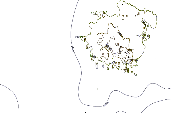
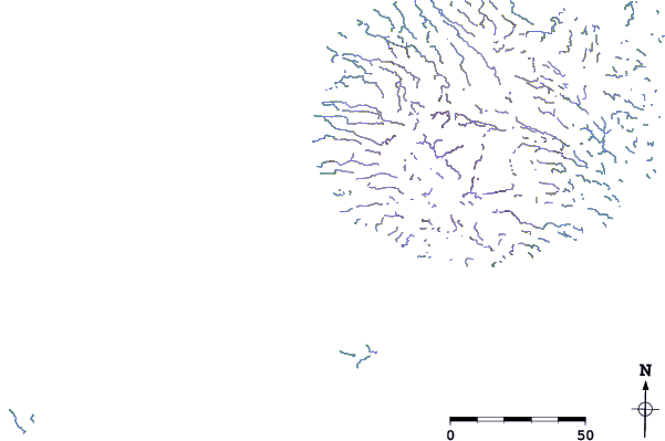
| Contours: | Roads & Rivers: | Select a
tide station / surf break / city |
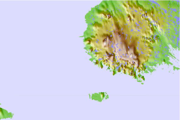
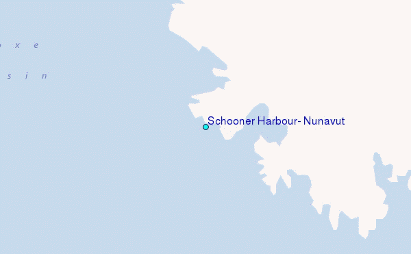
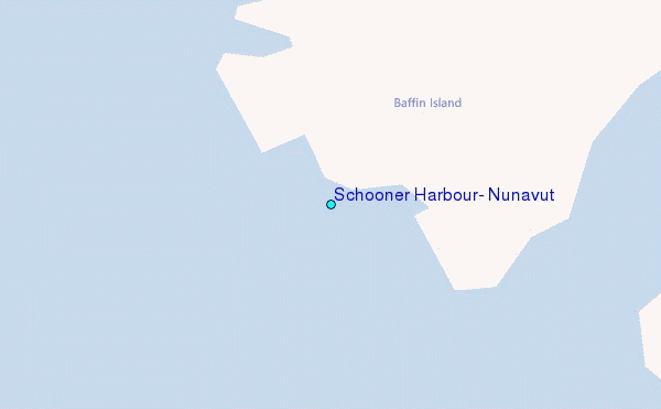
Use this relief map to navigate to tide stations, surf breaks and cities that are in the area of Schooner Harbour, Nunavut.
Other Nearby Locations' tide tables and tide charts to Schooner Harbour, Nunavut:
click location name for more details
 Surf breaks close to Schooner Harbour, Nunavut:
|
||
|---|---|---|
| Closest surf break | Marathon | 1130 mi |
| Second closest surf break | Alona Bay | 1219 mi |
| Third closest surf break | Keweenaw Peninsula | 1233 mi |
| Fourth closest surf break | Au Sable Point | 1265 mi |
| Fifth closest surf break | Grand Marias | 1265 mi |


 Nearest
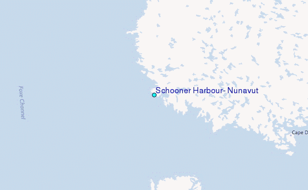