
| Distance / Altitude | Location | Report Date / Time | Live Weather | Wind | Gusts | Temp. | Visibility | Cloud |
|---|---|---|---|---|---|---|---|---|
| 10 km SSW / 9 m | Takoradi (afb) (Ghana) | 2025-12-25 08:00 local (2025/12/25 08:00 GMT) | - | calm (0 km/h at 0) | 28°C | 10.0 | few | |
| 162 km NE / 74 m | Adeiso-Ndoda (Ghana) | 2025-12-25 09:00 local (2025/12/25 09:00 GMT) | - | wind obs. (7 kph from 292 degs) was rejected (- km/h at -) | 29°C | - | - - 0 | |
| 185 km ENE / 197 m | Accra/Kotoka International Airport (Ghana) | 2025-12-25 08:00 local (2025/12/25 08:00 GMT) | Mist - | light winds from the W (11 km/h at 280) | 28°C | 5.0 | no significant cloud | |
| 225 km ENE / 90 m | Somanya USED (Ghana) | 2025-12-25 09:00 local (2025/12/25 09:00 GMT) | - | calm (4 km/h at 252) | 30°C | - | - - 0 | |
| 248 km WSW / 218 m | Abidjan Port Bou Airport (Cote D'ivoire) | 2025-12-25 08:30 local (2025/12/25 08:30 GMT) | - | light winds from the NNE.(Wind varies from 350 to 050 degs) (6 km/h at 20) | 27°C | 9.0 | few | |
| 292 km N / 329 m | Techiman NOG-Farm (Ghana) | 2025-12-25 09:00 local (2025/12/25 09:00 GMT) | - | light winds from the SSE (7 km/h at 159) | 27°C | - | - - 0 | |
| 337 km NE / 641 m | Kouma -Konda (Togo) | 2025-12-25 09:00 local (2025/12/25 09:00 GMT) | fog, sky visible, thinning | - (- km/h at -) | 22°C | 700 | - | |
| 354 km ENE / 25 m | Lome (Togo) | 2025-12-25 09:00 local (2025/12/25 09:00 GMT) | no report | light winds from the WSW (11 km/h at 240) | 30°C | 10 | - | |
| 354 km ENE / 213 m | Lome/Tokoin Airport (Togo) | 2025-12-25 08:00 local (2025/12/25 08:00 GMT) | - | light winds from the WSW (11 km/h at 250) | 29°C | 8.0 | few | |
| 398 km ENE / 32 m | Tabligbo (Togo) | 2025-12-25 09:00 local (2025/12/25 09:00 GMT) | no report | - (- km/h at -) | 26°C | 10 | - |
| Contours: | Roads & Rivers: | Select a
tide station / surf break / city |
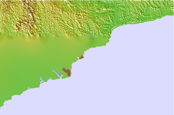
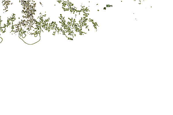
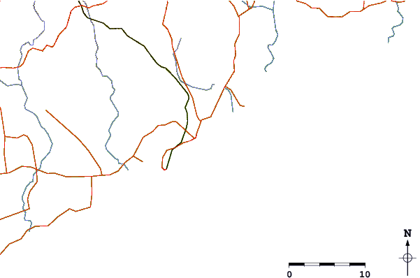
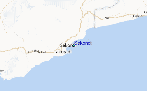
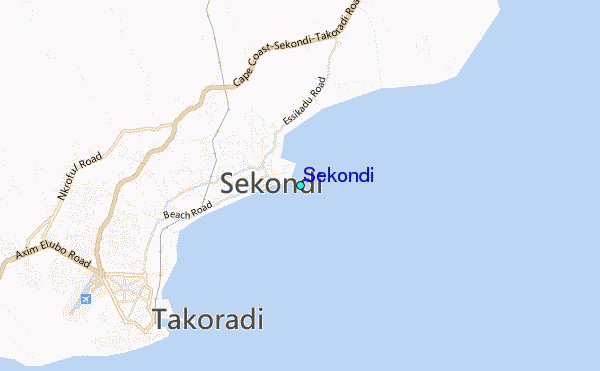
Use this relief map to navigate to tide stations, surf breaks and cities that are in the area of Sekondi.
Other Nearby Locations' tide tables and tide charts to Sekondi:
click location name for more details
 Surf breaks close to Sekondi:
|
||
|---|---|---|
| Closest surf break | Fort Sebastian | 5 mi |
| Second closest surf break | Takoradi | 5 mi |
| Third closest surf break | Busua Beach | 17 mi |
| Fourth closest surf break | Dixcove | 21 mi |
| Fifth closest surf break | Elmina | 24 mi |


 Nearest
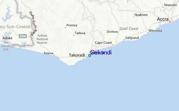