
| Distance / Altitude | Location | Report Date / Time | Live Weather | Wind | Gusts | Temp. | Visibility | Cloud |
|---|---|---|---|---|---|---|---|---|
| 30 km NW / 217 m | Moosonee Airport (Ontario) | 2025-12-25 06:00 local (2025/12/25 11:00 GMT) | Clear | light winds from the W (15 km/h at 280) | -22°C | 14 | ||
| 32 km NW / 9 m | Moosonee Airport (Ontario) | 2025-12-25 06:00 local (2025/12/25 11:00 GMT) | - | light winds from the W (6 km/h at 270) | -22°C | 0.0 | ||
| 224 km SSW / 396 m | Kapuskasing CDA Airport (Ontario) | 2025-12-25 06:00 local (2025/12/25 11:00 GMT) | - | light winds from the N (15 km/h at 350) | -18°C | 0.0 | ||
| 231 km SSW / 218 m | Kapuskasing Cda On- Ont (Canada) | 2025-12-25 06:00 local (2025/12/25 11:00 GMT) | - | calm (4 km/h at 200) | — | - | - | |
| 231 km SSW / 226 m | KapuskasingA-Ont (Canada) | 2025-12-25 06:00 local (2025/12/25 11:00 GMT) | - | moderate winds from the NW (26 km/h at 320) | — | 29 km | - overcast - | |
| 231 km SSW / 216 m | Kapuskasing Airport (Ontario) | 2025-12-25 06:00 local (2025/12/25 11:00 GMT) | Light snow | light winds from the NNW (11 km/h at 340) | -18°C | 10 | overcast overcast broken | |
| 233 km SE / 717 m | Matagami Airport (Quebec) | 2025-12-25 06:00 local (2025/12/25 11:00 GMT) | Light snow | fresh winds from the NNW (31 km/h at 330) | -17°C | 8 | overcast | |
| 234 km SE / 280 m | Matagami A- Que (71947 -0) (Canada) | 2025-12-25 06:00 local (2025/12/25 11:00 GMT) | - | light winds from the WSW (7 km/h at 250) | — | - | - - - | |
| 252 km NW / 9 m | Attawapiskat Airport (Canada) | 2025-12-25 06:00 local (2025/12/25 11:00 GMT) | Dry and partly cloudy | light winds from the WNW (13 km/h at 300) | -25°C | 14 | scattered | |
| 282 km S / 710 m | Timmins Airport (Ontario) | 2025-12-25 05:00 local (2025/12/25 10:00 GMT) | Light snow | light winds from the NNW (19 km/h at 330) | — | 10 |
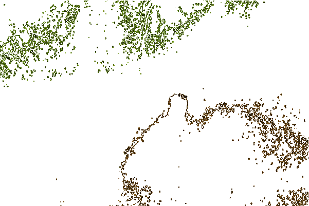
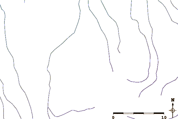
| Contours: | Roads & Rivers: | Select a
tide station / surf break / city |
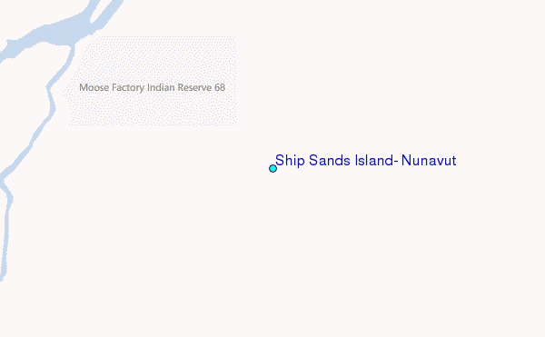
Use this relief map to navigate to tide stations, surf breaks and cities that are in the area of Ship Sands Island, Nunavut.
Other Nearby Locations' tide tables and tide charts to Ship Sands Island, Nunavut:
click location name for more details
 Surf breaks close to Ship Sands Island, Nunavut:
|
||
|---|---|---|
| Closest surf break | Marathon | 315 mi |
| Second closest surf break | Alona Bay | 330 mi |
| Third closest surf break | Manitoulin Island | 378 mi |
| Fourth closest surf break | Bayfield | 392 mi |
| Fifth closest surf break | Grand Marias | 397 mi |


 Nearest
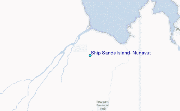