
| Distance / Altitude | Location | Report Date / Time | Live Weather | Wind | Gusts | Temp. | Visibility | Cloud |
|---|---|---|---|---|---|---|---|---|
| 37 km SSE / 212 m | Hopedale Airport (Newfoundland) | 2026-04-01 07:30 local (2026/04/01 10:00 GMT) | - | fresh winds from the S (33 km/h at 180) | -22°C | 0.0 | ||
| 37 km SSE / 10 m | Hopedale (Aut)- Nfld (Canada) | 2026-04-01 06:30 local (2026/04/01 09:00 GMT) | - | - (- km/h at 320) | — | - | - | |
| 109 km SE / 345 m | Makkovik Airport (Newfoundland) | 2026-04-01 07:30 local (2026/04/01 10:00 GMT) | - | fresh winds from the W (33 km/h at 260) | -21°C | 24 | few | |
| 118 km WNW / 472 m | Nain Airport (Newfoundland) | 2026-04-01 07:30 local (2026/04/01 10:00 GMT) | - | moderate winds from the W (26 km/h at 270) | — | 24 | ||
| 120 km WNW / 12 m | Nain- Nfld (Canada) | 2026-04-01 08:30 local (2026/04/01 11:00 GMT) | - | - (- km/h at -) | — | - | - | |
| 273 km S / 216 m | Goose Bay Airport (Newfoundland) | 2026-04-01 07:30 local (2026/04/01 10:00 GMT) | Dry and partly cloudy | light winds from the WSW (11 km/h at 240) | — | 24 | few scattered scattered | |
| 275 km S / 1 m | Goose Ua- Nfld (Canada) | 2026-04-01 08:30 local (2026/04/01 11:00 GMT) | - | - (- km/h at -) | — | - | - | |
| 314 km SE / 14 m | Cartwright (Canada) | 2026-04-01 08:30 local (2026/04/01 11:00 GMT) | - | light winds from the SW (7 km/h at 230) | — | - | - - - | |
| 314 km NW / 207 m | Saglek (bay) Airport (Newfoundland) | 2026-04-01 07:30 local (2026/04/01 10:00 GMT) | - | near gales from the W (54 km/h at 280) | -23°C | 0 | ||
| 316 km NW / 82 m | Saglek Airport (Canada) | 2026-04-01 06:30 local (2026/04/01 09:00 GMT) | - | gales from the WNW (63 km/h at 290) | -22°C | - | no observation |
| Contours: | Roads & Rivers: | Select a
tide station / surf break / city |
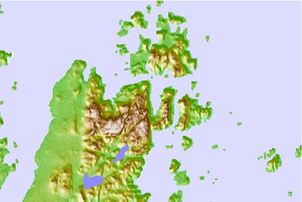
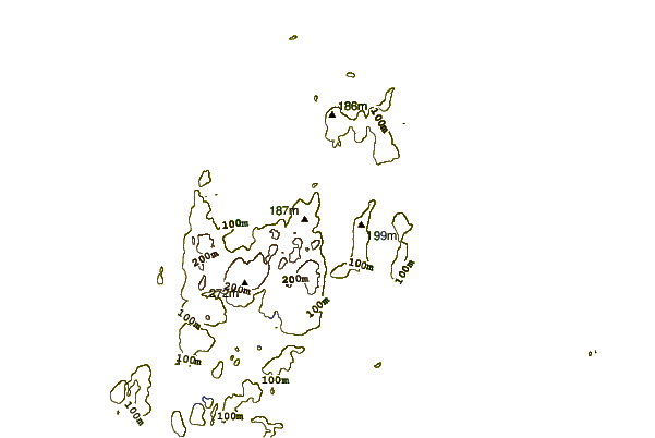
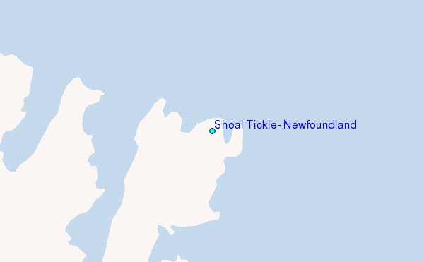
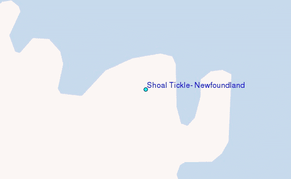
Use this relief map to navigate to tide stations, surf breaks and cities that are in the area of Shoal Tickle, Newfoundland.
Other Nearby Locations' tide tables and tide charts to Shoal Tickle, Newfoundland:
click location name for more details
 Surf breaks close to Shoal Tickle, Newfoundland:
|
||
|---|---|---|
| Closest surf break | Ingonish Beach | 631 mi |
| Second closest surf break | Kennington Cove | 684 mi |
| Third closest surf break | Michaud Point | 705 mi |
| Fourth closest surf break | Martinique | 776 mi |
| Fifth closest surf break | Lawrencetown Left Point | 780 mi |


 Nearest
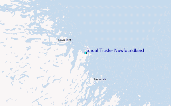