
| Distance / Altitude | Location | Report Date / Time | Live Weather | Wind | Gusts | Temp. | Visibility | Cloud |
|---|---|---|---|---|---|---|---|---|
| 42 km S / 240 m | Mardie (Australia) | 2025-12-25 19:00 local (2025/12/25 11:00 GMT) | - | moderate winds from the W (26 km/h at 280) | 33°C | - | no observation | |
| 56 km W / 224 m | Varanus Island (Australia) | 2025-12-25 19:00 local (2025/12/25 11:00 GMT) | - | strong winds from the W (43 km/h at 270) | 29°C | - | no observation | |
| 56 km W / 224 m | Varanus Island (Australia) | 2025-12-25 19:00 local (2025/12/25 11:00 GMT) | no report | wind obs. (20 kph from 80 degs) was rejected (- km/h at -) | 23°C | - | - no observation - | |
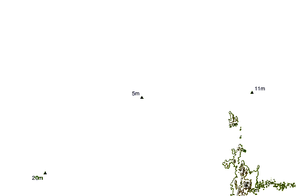
| 69 km WSW / 7 m | Barrow Island Airport (Australia) | 2025-12-25 19:00 local (2025/12/25 11:00 GMT) | No report | fresh winds from the W (35 km/h at 270) | 29°C | - | - no observation - | |
| 75 km E / 6 m | KarrathaAero (Australia) | 2025-12-25 19:00 local (2025/12/25 11:00 GMT) | Clear skies | fresh winds from the W (37 km/h at 270) | 32°C | - | - no observation - | |
| 96 km ENE / 30 m | Legendre Island (Australia) | 2025-12-25 19:00 local (2025/12/25 11:00 GMT) | no report | moderate winds from the WSW (26 km/h at 250) | 30°C | - | - no observation - | |
| 114 km E / 11 m | RoebourneAero (Australia) | 2025-12-25 19:00 local (2025/12/25 11:00 GMT) | - | fresh winds from the W (30 km/h at 280) | 35°C | - | no observation | |
| 130 km SW / 6 m | ThevenardIsland (Australia) | 2025-12-25 19:00 local (2025/12/25 11:00 GMT) | - | fresh winds from the WSW (30 km/h at 250) | 30°C | - | no observation | |
| 136 km SSW / 4 m | Onslow Airport (Australia) | 2025-12-25 19:00 local (2025/12/25 11:00 GMT) | no report | fresh winds from the SW (31 km/h at 230) | 35°C | - | - no observation - | |
| 258 km SSW / 6 m | Learmonth Airport (Australia) | 2025-12-25 19:00 local (2025/12/25 11:00 GMT) | no report | fresh winds from the WSW (33 km/h at 240) | 29°C | - | - no observation - |
| Contours: | Roads & Rivers: | Select a
tide station / surf break / city |
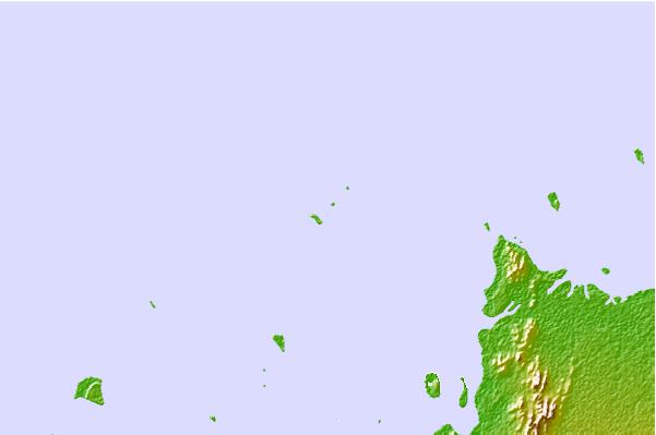

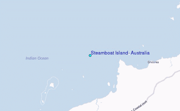
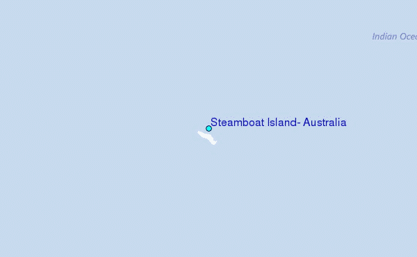
Use this relief map to navigate to tide stations, surf breaks and cities that are in the area of Steamboat Island, Australia.
Other Nearby Locations' tide tables and tide charts to Steamboat Island, Australia:
click location name for more details
 Surf breaks close to Steamboat Island, Australia:
|
||
|---|---|---|
| Closest surf break | Dunes | 142 mi |
| Second closest surf break | Lighthouse Bombie | 151 mi |
| Third closest surf break | Gnaraloo | 260 mi |
| Fourth closest surf break | Turtles | 274 mi |
| Fifth closest surf break | Red Bluff | 278 mi |


 Nearest
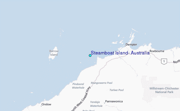