
| Distance / Altitude | Location | Report Date / Time | Live Weather | Wind | Gusts | Temp. | Visibility | Cloud |
|---|---|---|---|---|---|---|---|---|
| 259 km SSW / 214 m | Learmouth Airport (Australia) | 2026-06-22 12:30 local (2026/06/22 04:30 GMT) | Dry and partly cloudy | light winds from the NE (13 km/h at 40) | 23°C | 10.0 | no cloud | |
| 270 km E / 218 m | Port Hedland International Airport (Australia) | 2026-06-22 12:30 local (2026/06/22 04:30 GMT) | Dry and partly cloudy | moderate winds from the NE (20 km/h at 50) | 27°C | 10.0 | no cloud | |
| 720 km ENE / 218 m | Broome Airport (Australia) | 2026-06-22 12:30 local (2026/06/22 04:30 GMT) | Dry and partly cloudy | light winds from the SE (15 km/h at 140) | 28°C | 10.0 | no cloud | |
| 891 km ENE / 212 m | Curtin/Derby Airport (Australia) | 2026-06-22 12:30 local (2026/06/22 04:30 GMT) | Dry and partly cloudy | light winds from the E.(Wind varies from 050 to 130 degs) (9 km/h at 100) | 28°C | 10.0 | no cloud | |
| 898 km S / 37 m | Geraldton Airport (Australia) | 2026-06-22 12:30 local (2026/06/22 04:30 GMT) | Dry and partly cloudy | moderate winds from the NE (20 km/h at 50) | 22°C | 10.0 | no cloud | |
| 895 km S / 37 m | Geraldton Airport (Australia) | 2026-06-22 12:30 local (2026/06/22 04:30 GMT) | Dry and partly cloudy | moderate winds from the NE (20 km/h at 50) | 22°C | 10.0 | no cloud overcast - | |
| 969 km ENE / 3 m | SHIP8446 (Marine) | 2026-06-22 12:00 local (2026/06/22 04:00 GMT) | - (- km/h at -) | 28°C | - | |||
| 969 km ENE / 15 m | SHIP4063 (Marine) | 2026-06-22 11:00 local (2026/06/22 03:00 GMT) | - (- km/h at -) | 26°C | - km | |||
| 969 km ENE / 15 m | SHIP7798 (Marine) | 2026-06-22 12:00 local (2026/06/22 04:00 GMT) | - (- km/h at -) | 26°C | - km | |||
| 969 km ENE / 15 m | SHIP5939 (Marine) | 2026-06-22 11:00 local (2026/06/22 03:00 GMT) | - (- km/h at -) | 26°C | - km |
| Contours: | Roads & Rivers: | Select a
tide station / surf break / city |
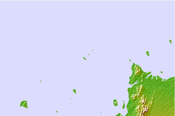
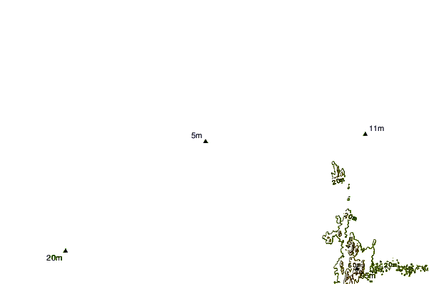
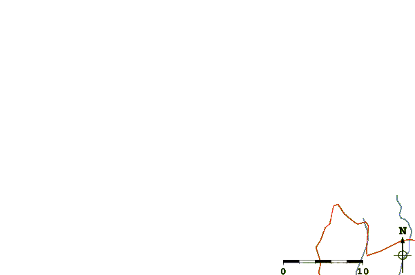
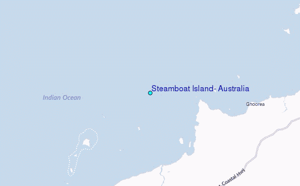
Use this relief map to navigate to tide stations, surf breaks and cities that are in the area of Steamboat Island, Australia.
Other Nearby Locations' tide tables and tide charts to Steamboat Island, Australia:
click location name for more details
 Surf breaks close to Steamboat Island, Australia:
|
||
|---|---|---|
| Closest surf break | Dunes | 142 mi |
| Second closest surf break | Lighthouse Bombie | 151 mi |
| Third closest surf break | Gnaraloo | 260 mi |
| Fourth closest surf break | Turtles | 274 mi |
| Fifth closest surf break | Red Bluff | 278 mi |


 Nearest
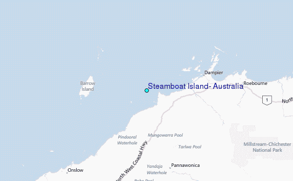