
| Distance / Altitude | Location | Report Date / Time | Live Weather | Wind | Gusts | Temp. | Visibility | Cloud |
|---|---|---|---|---|---|---|---|---|
| 10 km NW / 475 m | New Hiroshima Airport (Japan) | 2025-12-25 09:00 local (2025/12/25 00:00 GMT) | Shower light rain shower | light winds from the NW (15 km/h at 310) | — | 10.0 | few scattered | |
| 29 km ENE / 3 m | Fukuyama (Japan) | 2025-12-25 10:00 local (2025/12/25 01:00 GMT) | Continuous light rain | calm (2 km/h at 270) | 12°C | 5.0 km | no observation | |
| 40 km SW / 12 m | Kure (Japan) | 2025-12-25 10:00 local (2025/12/25 01:00 GMT) | Continuous light rain | calm (4 km/h at 220) | 13°C | 40 km | no observation | |
| 47 km WSW / 239 m | Hiroshima (Japan) | 2025-12-25 10:00 local (2025/12/25 01:00 GMT) | Continuous light rain | light winds from the N (7 km/h at 360) | 13°C | 40 km | no observation | |
| 58 km S / 241 m | Matsuyama (Japan) | 2025-12-25 10:00 local (2025/12/25 01:00 GMT) | Continuous light rain | calm (2 km/h at 210) | 13°C | 32 km | no observation | |
| 62 km WSW / 117 m | Roppommatsu wx (Japan) | 2025-12-25 09:49 local (2025/12/25 00:49 GMT) | dry | calm (0 km/h at 359) | 11°C | - | - - 0 | |
| 63 km S / 475 m | Matsuyama Airport (Japan) | 2025-12-25 09:42 local (2025/12/25 00:42 GMT) | Shower light rain shower | light winds from the NW (19 km/h at 320) | 14°C | 10.0 | few scattered broken | |
| 73 km SW / 401 m | Iwakuni Marine Corps Air Station Airport (Japan) | 2025-12-25 08:56 local (2025/12/24 23:56 GMT) | Shower light rain shower | calm (0 km/h at 31) | 12°C | 10.0 | few broken overcast | |
| 73 km E / 5 m | Tadotsu (Japan) | 2025-12-25 10:00 local (2025/12/25 01:00 GMT) | Continuous light rain | light winds from the W (11 km/h at 260) | 12°C | 3.9 km | no observation | |
| 76 km NE / 138 m | Minagi wx (Japan) | 2025-12-25 10:14 local (2025/12/25 01:14 GMT) | dry | calm (3 km/h at 306) | 11°C | - | - - 0 |
| Contours: | Roads & Rivers: | Select a
tide station / surf break / city |
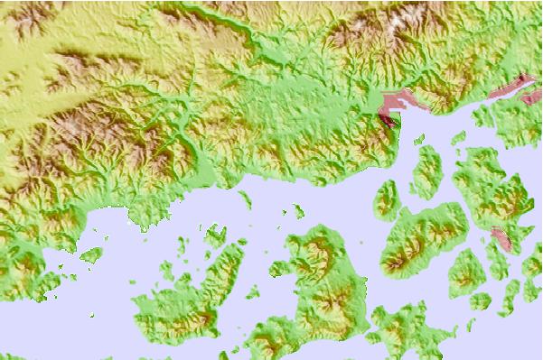
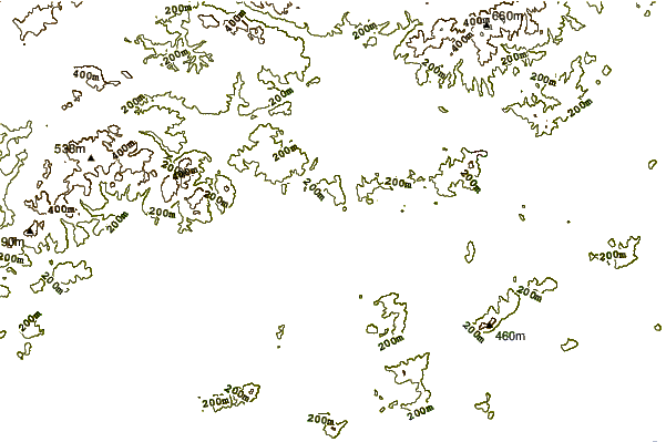
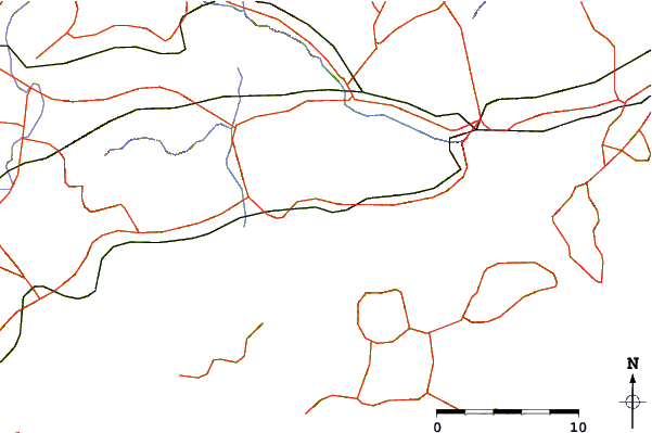
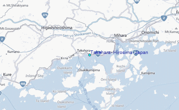
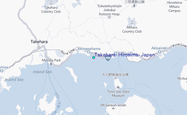
Use this relief map to navigate to tide stations, surf breaks and cities that are in the area of Takehara, Hirosima, Japan.
Other Nearby Locations' tide tables and tide charts to Takehara, Hirosima, Japan:
click location name for more details
 Surf breaks close to Takehara, Hirosima, Japan:
|
||
|---|---|---|
| Closest surf break | Niyodo Rivermouth | 69 mi |
| Second closest surf break | Monabe Rivermouth | 73 mi |
| Third closest surf break | Yasuda Rivermouth | 85 mi |
| Fourth closest surf break | Ikumi Beach | 94 mi |
| Fifth closest surf break | Uchizuma | 94 mi |


 Nearest
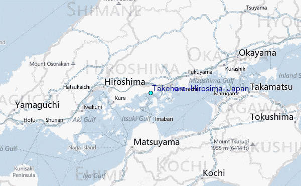