
| Distance / Altitude | Location | Report Date / Time | Live Weather | Wind | Gusts | Temp. | Visibility | Cloud |
|---|---|---|---|---|---|---|---|---|
| 2 km S / 6 m | Tuktoyaktuk-Nwt (Canada) | 2025-12-25 02:00 local (2025/12/25 09:00 GMT) | - | light winds from the NNE (7 km/h at 20) | — | - | - no observation - | |
| 72 km S / 261 m | Storm Hills Airport (Canada) | 2025-12-25 01:00 local (2025/12/25 08:00 GMT) | no report | - (- km/h at -) | — | - | - - - | |
| 81 km S / 197 m | Trail Valley Airport (N.w. Territories) | 2025-12-25 01:00 local (2025/12/25 08:00 GMT) | - | strong winds from the WNW (46 km/h at 290) | -15°C | 0.0 | ||
| 82 km S / 85 m | Trail Valley (Canada) | 2025-12-25 01:00 local (2025/12/25 08:00 GMT) | - | calm (4 km/h at 340) | — | - | - - - | |
| 97 km W / 17 m | Pelly Island- Nwt (Canada) | 2025-12-25 01:00 local (2025/12/25 08:00 GMT) | - | light winds from the WNW (11 km/h at 290) | — | - | - | |
| 97 km W / 2 m | Pelly Island Airport (Canada) | 2025-12-25 01:00 local (2025/12/25 08:00 GMT) | - | strong winds from the NW (48 km/h at 310) | — | 0.0 | ||
| 128 km S / 85 m | Inuvik Airport (Northwest Territories) | 2025-12-25 01:00 local (2025/12/25 08:00 GMT) | - | fresh winds from the WNW (33 km/h at 290) | -14°C | 0.0 | - - - | |
| 128 km S / 85 m | Inuvik (Canada) | 2025-12-25 02:00 local (2025/12/25 09:00 GMT) | - | moderate winds from the WNW (28 km/h at 290) | -15°C | - | no observation | |
| 132 km S / 216 m | Inuvik Airport (N.w. Territories) | 2025-12-25 01:44 local (2025/12/25 08:44 GMT) | Light snow | fresh winds from the WNW (31 km/h at 300) | -14°C | 0.0 | - overcast - | |
| 231 km WSW / 1 m | Herschel Island- YT (Canada) | 2025-12-25 01:00 local (2025/12/25 08:00 GMT) | no report | calm (4 km/h at 360) | — | - | - - - |
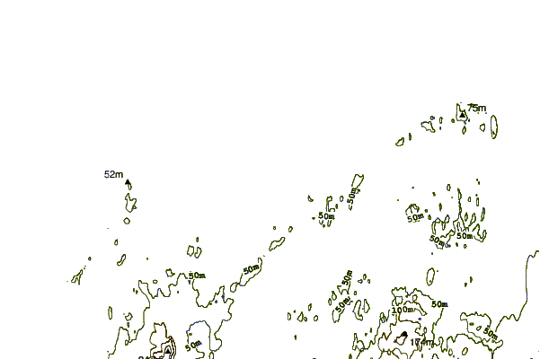
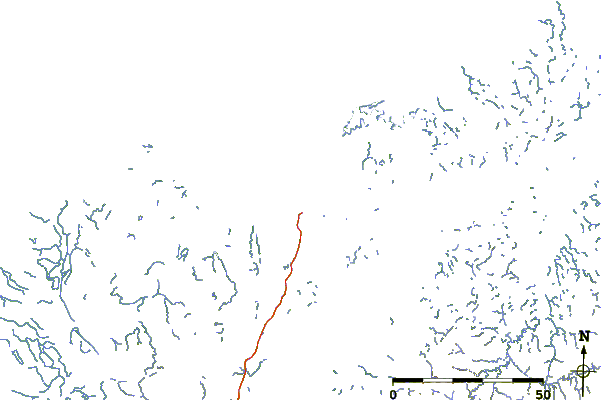
| Contours: | Roads & Rivers: | Select a
tide station / surf break / city |
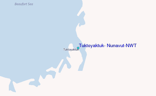
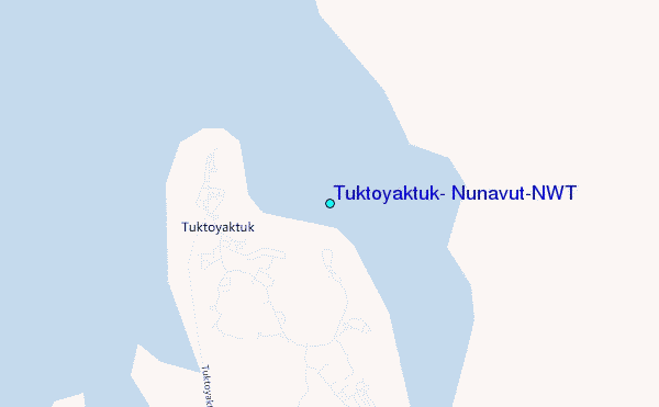
Use this relief map to navigate to tide stations, surf breaks and cities that are in the area of Tuktoyaktuk, Nunavut/NWT.
Other Nearby Locations' tide tables and tide charts to Tuktoyaktuk, Nunavut/NWT:
click location name for more details
 Surf breaks close to Tuktoyaktuk, Nunavut/NWT:
|
||
|---|---|---|
| Closest surf break | Graveyards | 713 mi |
| Second closest surf break | Ocean Cape | 713 mi |
| Third closest surf break | Cannon Beach | 715 mi |
| Fourth closest surf break | Bird Point (Tidal Bore) | 800 mi |
| Fifth closest surf break | Termination Point | 989 mi |


 Nearest
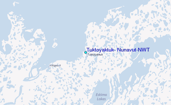