
| Distance / Altitude | Location | Report Date / Time | Live Weather | Wind | Gusts | Temp. | Visibility | Cloud |
|---|---|---|---|---|---|---|---|---|
| 1 km WSW / 155 m | Tuktoyaktuk Airport (N.w. Territories) | 2026-07-25 23:00 local (2026/07/26 05:00 GMT) | - | light winds from the S (13 km/h at 180) | 9°C | 24 | few few few | |
| 2 km S / 6 m | Tuktoyaktuk- Nwt (Canada) | 2026-07-26 00:00 local (2026/07/26 06:00 GMT) | no report | wind obs. (7 kph from 20 degs) was rejected (- km/h at -) | 1°C | - | - - - | |
| 6 km S / 15 m | SHIP10692 (Marine) | 2026-07-25 23:00 local (2026/07/26 05:00 GMT) | calm (3.6 km/h at 220) | — | - km | |||
| 6 km S / 15 m | SHIP2629 (Marine) | 2026-07-25 22:00 local (2026/07/26 04:00 GMT) | light winds from the SW (7.5600000000000005 km/h at 220) | — | - km | |||
| 6 km S / 3 m | SHIP2341 (Marine) | 2026-07-25 22:00 local (2026/07/26 04:00 GMT) | light winds from the SW (8 km/h at 220) | 10°C | - | |||
| 6 km S / 15 m | SHIP4707 (Marine) | 2026-07-25 22:00 local (2026/07/26 04:00 GMT) | light winds from the SW (7.5600000000000005 km/h at 220) | — | - km | |||
| 6 km S / 3 m | SHIP9551 (Marine) | 2026-07-25 22:00 local (2026/07/26 04:00 GMT) | light winds from the SW (8 km/h at 220) | 10°C | - | |||
| 6 km S / 15 m | SHIP1562 (Marine) | 2026-07-26 00:00 local (2026/07/26 06:00 GMT) | light winds from the SSW (11.16 km/h at 200) | — | - km | |||
| 6 km S / 3 m | SHIP3299 (Marine) | 2026-07-25 23:00 local (2026/07/26 05:00 GMT) | calm (4 km/h at 220) | 9°C | - | |||
| 6 km S / 15 m | SHIP3527 (Marine) | 2026-07-25 22:00 local (2026/07/26 04:00 GMT) | light winds from the SW (7.5600000000000005 km/h at 220) | — | - km |
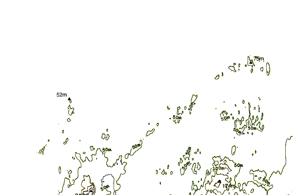
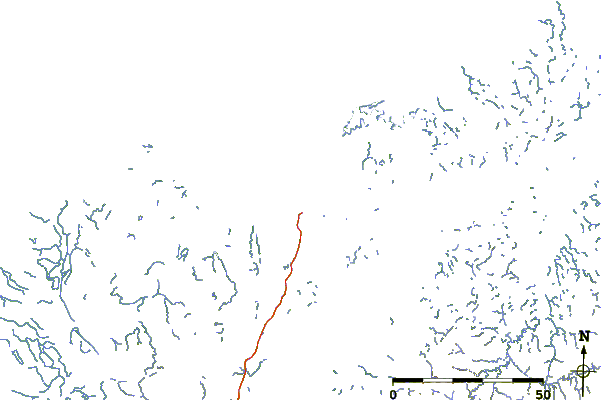
| Contours: | Roads & Rivers: | Select a
tide station / surf break / city |
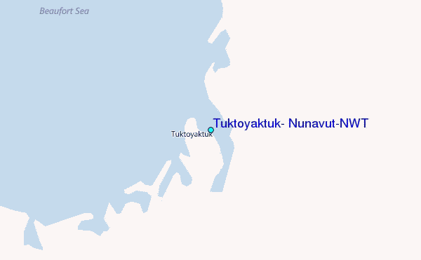
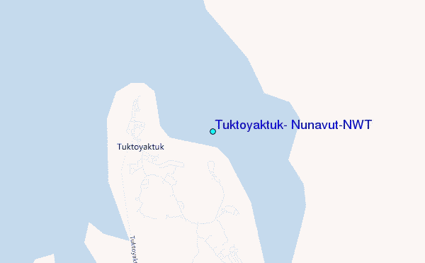
Use this relief map to navigate to tide stations, surf breaks and cities that are in the area of Tuktoyaktuk, Nunavut/NWT.
Other Nearby Locations' tide tables and tide charts to Tuktoyaktuk, Nunavut/NWT:
click location name for more details
 Surf breaks close to Tuktoyaktuk, Nunavut/NWT:
|
||
|---|---|---|
| Closest surf break | Graveyards | 713 mi |
| Second closest surf break | Ocean Cape | 713 mi |
| Third closest surf break | Cannon Beach | 715 mi |
| Fourth closest surf break | Bird Point (Tidal Bore) | 800 mi |
| Fifth closest surf break | Termination Point | 989 mi |


 Nearest
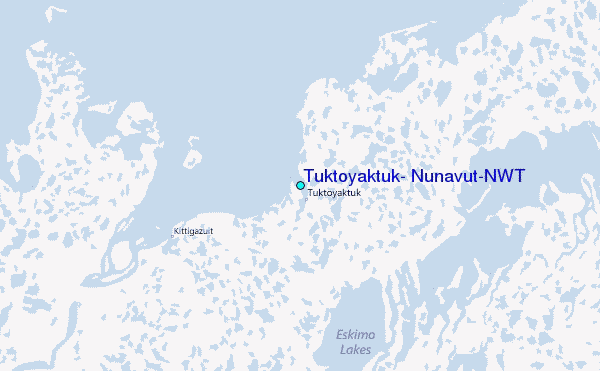