
| Distance / Altitude | Location | Report Date / Time | Live Weather | Wind | Gusts | Temp. | Visibility | Cloud |
|---|---|---|---|---|---|---|---|---|
| 169 km WSW / 155 m | Tuktoyaktuk Airport (N.w. Territories) | 2025-12-25 16:00 local (2025/12/25 23:00 GMT) | Dry and partly cloudy | light winds from the NW (19 km/h at 320) | -20°C | 16 | broken | |
| 170 km WSW / 6 m | Tuktoyaktuk-Nwt (Canada) | 2025-12-25 16:00 local (2025/12/25 23:00 GMT) | - | light winds from the NNE (7 km/h at 20) | — | - | - no observation - | |
| 187 km ESE / 6 m | Paulatuk- Nwt (Canada) | 2025-12-25 16:00 local (2025/12/25 23:00 GMT) | - | light winds from the W (11 km/h at 260) | — | - | - | |
| 218 km SW / 197 m | Trail Valley Airport (N.w. Territories) | 2025-12-25 16:00 local (2025/12/25 23:00 GMT) | - | strong winds from the NW (41 km/h at 310) | -18°C | 0.0 | ||
| 219 km SW / 85 m | Trail Valley (Canada) | 2025-12-25 17:00 local (2025/12/26 00:00 GMT) | - | calm (4 km/h at 340) | — | - | - - - | |
| 225 km SW / 261 m | Storm Hills Airport (Canada) | 2025-12-25 17:00 local (2025/12/26 00:00 GMT) | no report | - (- km/h at -) | — | - | - | |
| 249 km SSW / 85 m | Inuvik Airport (Northwest Territories) | 2025-12-25 16:00 local (2025/12/25 23:00 GMT) | - | moderate winds from the NW (28 km/h at 320) | -18°C | 0.0 | - - - | |
| 250 km SSW / 216 m | Inuvik Airport (N.w. Territories) | 2025-12-25 16:00 local (2025/12/25 23:00 GMT) | Light snow | moderate winds from the NW (28 km/h at 310) | -18°C | 5 | overcast | |
| 257 km E / 552 m | Tuktut Nogait- Nwt (Canada) | 2025-12-25 16:00 local (2025/12/25 23:00 GMT) | - | light winds from the W (11 km/h at 260) | — | - | - - - | |
| 258 km E / 616 m | Tuktut Nogait Airport (N.w. Territories) | 2025-12-25 16:00 local (2025/12/25 23:00 GMT) | - | light winds from the WSW (17 km/h at 240) | -27°C | 0.0 |
| Contours: | Roads & Rivers: | Select a
tide station / surf break / city |
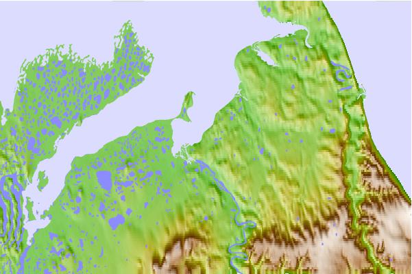
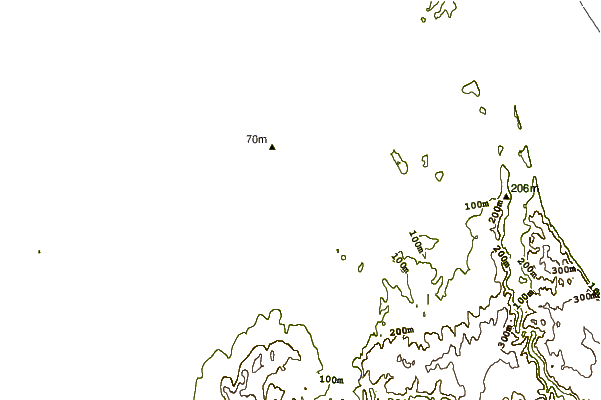
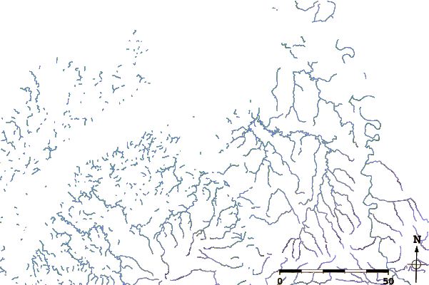
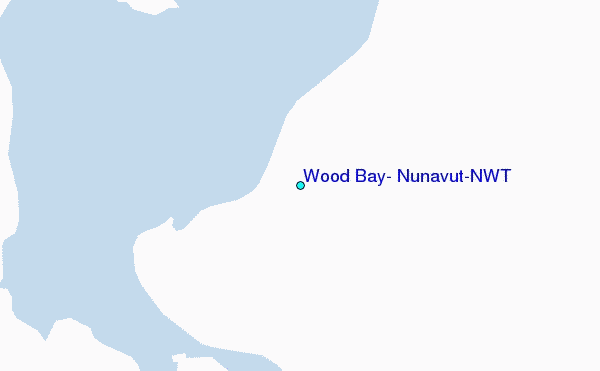
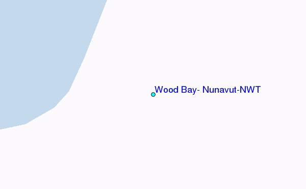
Use this relief map to navigate to tide stations, surf breaks and cities that are in the area of Wood Bay, Nunavut/NWT.
Other Nearby Locations' tide tables and tide charts to Wood Bay, Nunavut/NWT:
click location name for more details
 Surf breaks close to Wood Bay, Nunavut/NWT:
|
||
|---|---|---|
| Closest surf break | Graveyards | 774 mi |
| Second closest surf break | Ocean Cape | 776 mi |
| Third closest surf break | Cannon Beach | 777 mi |
| Fourth closest surf break | Bird Point (Tidal Bore) | 896 mi |
| Fifth closest surf break | Termination Point | 1080 mi |


 Nearest
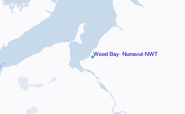