
| Distance / Altitude | Location | Report Date / Time | Live Weather | Wind | Gusts | Temp. | Visibility | Cloud |
|---|---|---|---|---|---|---|---|---|
| 166 km SW / 15 m | SHIP4117 (Marine) | 2026-07-26 04:00 local (2026/07/26 10:00 GMT) | light winds from the ESE (16.56 km/h at 110) | — | - km | |||
| 169 km WSW / 6 m | Tuktoyaktuk- Nwt (Canada) | 2026-07-26 03:00 local (2026/07/26 09:00 GMT) | no report | wind obs. (7 kph from 20 degs) was rejected (- km/h at -) | 1°C | - | - - - | |
| 166 km SW / 15 m | SHIP1840 (Marine) | 2026-07-26 02:00 local (2026/07/26 08:00 GMT) | light winds from the E (18.36 km/h at 100) | — | - km | |||
| 166 km SW / 15 m | SHIP9379 (Marine) | 2026-07-26 02:00 local (2026/07/26 08:00 GMT) | light winds from the E (18.36 km/h at 100) | — | - km | |||
| 166 km SW / 15 m | SHIP1108 (Marine) | 2026-07-26 04:00 local (2026/07/26 10:00 GMT) | light winds from the ESE (16.56 km/h at 110) | — | - km | |||
| 166 km SW / 15 m | SHIP2022 (Marine) | 2026-07-26 02:00 local (2026/07/26 08:00 GMT) | light winds from the E (18.36 km/h at 100) | — | - km | |||
| 166 km SW / 15 m | SHIP5399 (Marine) | 2026-07-26 02:00 local (2026/07/26 08:00 GMT) | light winds from the E (18.36 km/h at 100) | — | - km | |||
| 166 km SW / 15 m | SHIP1490 (Marine) | 2026-07-26 03:00 local (2026/07/26 09:00 GMT) | light winds from the ESE (16.56 km/h at 110) | — | - km | |||
| 166 km SW / 15 m | SHIP4603 (Marine) | 2026-07-26 03:00 local (2026/07/26 09:00 GMT) | light winds from the ESE (16.56 km/h at 110) | — | - km | |||
| 166 km SW / 15 m | SHIP5747 (Marine) | 2026-07-26 02:00 local (2026/07/26 08:00 GMT) | light winds from the E (18.36 km/h at 100) | — | - km |
| Contours: | Roads & Rivers: | Select a
tide station / surf break / city |
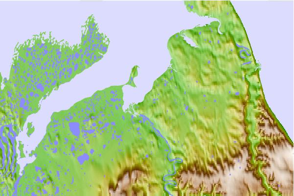
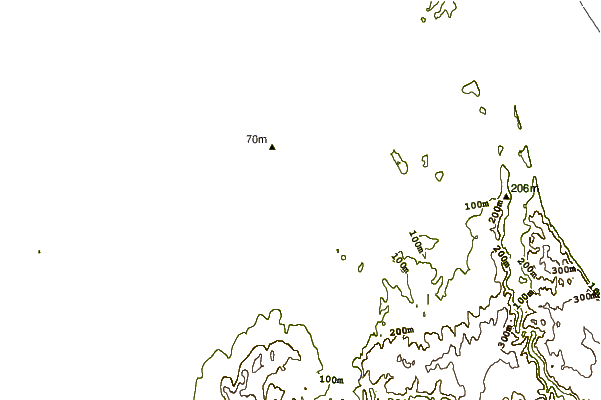
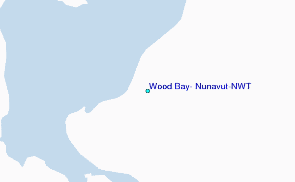
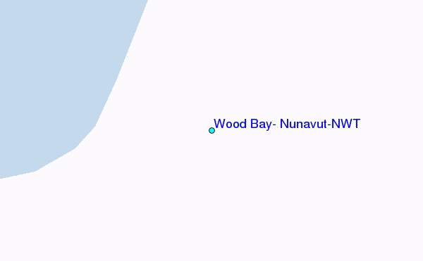
Use this relief map to navigate to tide stations, surf breaks and cities that are in the area of Wood Bay, Nunavut/NWT.
Other Nearby Locations' tide tables and tide charts to Wood Bay, Nunavut/NWT:
click location name for more details
 Surf breaks close to Wood Bay, Nunavut/NWT:
|
||
|---|---|---|
| Closest surf break | Graveyards | 774 mi |
| Second closest surf break | Ocean Cape | 776 mi |
| Third closest surf break | Cannon Beach | 777 mi |
| Fourth closest surf break | Bird Point (Tidal Bore) | 896 mi |
| Fifth closest surf break | Termination Point | 1080 mi |


 Nearest
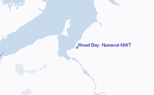