
| Distance / Altitude | Location | Report Date / Time | Live Weather | Wind | Gusts | Temp. | Visibility | Cloud |
|---|---|---|---|---|---|---|---|---|
| 99 km S / 217 m | Rankin Inlet Airport (N.w. Territories) | 2026-07-26 05:00 local (2026/07/26 09:00 GMT) | Dry and cloudy | light winds from the WNW (17 km/h at 300) | 11°C | 24 | broken overcast | |
| 99 km S / 32 m | Rankin Inlet Airport (Canada) | 2026-07-26 05:00 local (2026/07/26 09:00 GMT) | no report | - (- km/h at -) | 3°C | - | - - - | |
| 211 km W / 51 m | Baker Lake Climate- NU (Canada) | 2026-07-26 06:00 local (2026/07/26 10:00 GMT) | no report | light winds from the N (11 km/h at 360) | 3°C | - | - | |
| 213 km W / 214 m | Baker Lake Airport (N.w. Territories) | 2026-07-26 05:00 local (2026/07/26 09:00 GMT) | - | light winds from the NNW (7 km/h at 330) | 10°C | 16 | few | |
| 310 km S / 215 m | Arviat Airport (N.w. Territories) | 2026-07-26 05:00 local (2026/07/26 09:00 GMT) | Dry and cloudy | light winds from the WNW (6 km/h at 300) | 8°C | 14 | overcast | |
| 311 km S / 10 m | Arviat A- NU (Canada) | 2026-07-26 06:00 local (2026/07/26 10:00 GMT) | no report | light winds from the WNW (18 km/h at 290) | 5°C | - | - - - | |
| 422 km ENE / 22 m | Coral Harbour Airport (Canada) | 2026-07-26 06:00 local (2026/07/26 10:00 GMT) | no report | - (- km/h at -) | 3°C | - | - - - | |
| 530 km W / 244 m | Robertson Lake (Aut)- NU (Canada) | 2026-07-26 06:00 local (2026/07/26 10:00 GMT) | no report | wind obs. (25 kph from 240 degs) was rejected (- km/h at -) | 8°C | - | - - - | |
| 544 km SW / 353 m | Ennadai Lake (Aut)- NU (Canada) | 2026-07-26 05:00 local (2026/07/26 09:00 GMT) | no report | fresh winds from the WSW (29 km/h at 240) | 7°C | - | - - - | |
| 548 km N / 17 m | Kugaaruk Climate (Canada) | 2026-07-26 06:00 local (2026/07/26 10:00 GMT) | - | light winds from the N (7 km/h at 10) | — | - | - - - |
| Contours: | Roads & Rivers: | Select a
tide station / surf break / city |
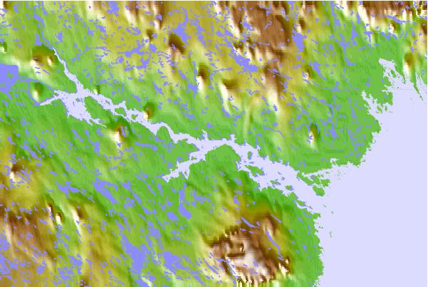
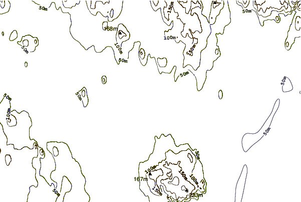
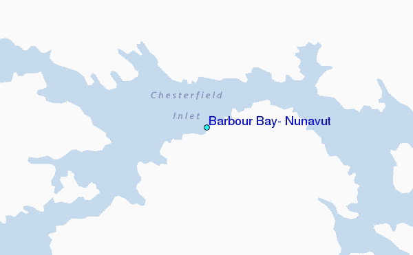
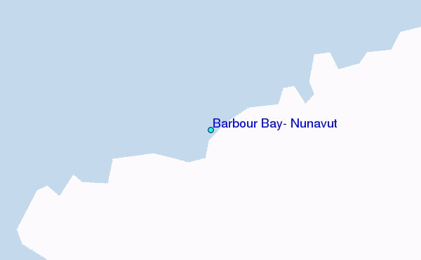
Use this relief map to navigate to tide stations, surf breaks and cities that are in the area of Barbour Bay, Nunavut.
Other Nearby Locations' tide tables and tide charts to Barbour Bay, Nunavut:
click location name for more details
 Surf breaks close to Barbour Bay, Nunavut:
|
||
|---|---|---|
| Closest surf break | Marathon | 1054 mi |
| Second closest surf break | Keweenaw Peninsula | 1132 mi |
| Third closest surf break | Apostle Islands | 1151 mi |
| Fourth closest surf break | Stoney Point | 1156 mi |
| Fifth closest surf break | Ontonagon | 1167 mi |


 Nearest
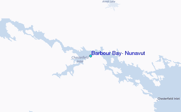