
| Distance / Altitude | Location | Report Date / Time | Live Weather | Wind | Gusts | Temp. | Visibility | Cloud |
|---|---|---|---|---|---|---|---|---|
| 85 km NNE / 3 m | Nanakwa Shoal Buoy (Marine) | 2026-07-26 03:00 local (2026/07/26 10:00 GMT) | light winds from the WSW (11 km/h at 240) | 14°C | - | |||
| 87 km S / 3 m | South Hecate Strait Buoy (Marine) | 2026-07-26 03:00 local (2026/07/26 10:00 GMT) | light winds from the S (18 km/h at 170) | 13°C | - | |||
| 99 km WNW / 15 m | SHIP6124 (Marine) | 2026-07-26 01:00 local (2026/07/26 08:00 GMT) | light winds from the SSE (12.96 km/h at 150) | — | - km | |||
| 110 km W / 17 m | Bonilla Island Airport (British columbia) | 2026-07-26 02:00 local (2026/07/26 09:00 GMT) | - | moderate winds from the SSE (20 km/h at 150) | 11°C | 0.0 | ||
| 110 km W / 14 m | Bonilla Island (Aut)- BC (Canada) | 2026-07-26 03:00 local (2026/07/26 10:00 GMT) | no report | - (- km/h at -) | 11°C | - | - - - | |
| 110 km W / 17 m | Bonilla Island Airport (British columbia) | 2026-07-26 02:00 local (2026/07/26 09:00 GMT) | - | moderate winds from the SSE (20 km/h at 150) | 11°C | 0.0 | ||
| 111 km W / 14 m | Bonilla Island (Aut)- BC (Canada) | 2026-07-26 03:00 local (2026/07/26 10:00 GMT) | no report | - (- km/h at -) | 11°C | - | - - - | |
| 112 km NNE / 11 m | Kitimat (British Columbia) | 2026-07-26 03:05 local (2026/07/26 10:05 GMT) | dry | calm (0 km/h at 143) | 14°C | - | - - 0 | |
| 119 km SSE / 43 m | Bella Bella- BC (Canada) | 2026-07-26 03:00 local (2026/07/26 10:00 GMT) | - | calm (4 km/h at 250) | — | - | - | |
| 120 km SSE / 43 m | Bella Bella Airport (British columbia) | 2026-07-26 02:29 local (2026/07/26 09:29 GMT) | Light rain | light winds from the SE (7 km/h at 140) | 13°C | 5 | broken overcast |
| Contours: | Roads & Rivers: | Select a
tide station / surf break / city |
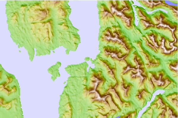
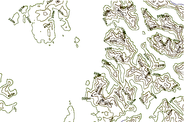
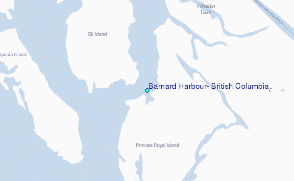
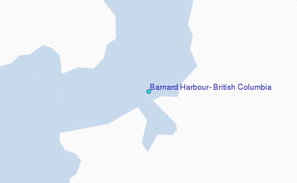
Use this relief map to navigate to tide stations, surf breaks and cities that are in the area of Barnard Harbour, British Columbia.
Other Nearby Locations' tide tables and tide charts to Barnard Harbour, British Columbia:
click location name for more details
 Surf breaks close to Barnard Harbour, British Columbia:
|
||
|---|---|---|
| Closest surf break | Tow Hill Beach | 129 mi |
| Second closest surf break | Lepus Beach (Haida-Gwaii) | 177 mi |
| Third closest surf break | Nootka Island (Calvin Bay) | 256 mi |
| Fourth closest surf break | Tofino (North Chestermans Beach) | 308 mi |
| Fifth closest surf break | South Chesterman Beach | 308 mi |


 Nearest
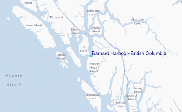