
| Distance / Altitude | Location | Report Date / Time | Live Weather | Wind | Gusts | Temp. | Visibility | Cloud |
|---|---|---|---|---|---|---|---|---|
| 35 km NNE / 194 m | La Scie, Newfoundland (Canada) | 2026-07-26 07:30 local (2026/07/26 10:00 GMT) | - | wind obs. (14 kph from 230 degs) was rejected (- km/h at -) | — | - | - - - | |
| 75 km S / 103 m | Badger (Aut)- Nfld (Canada) | 2026-07-26 07:30 local (2026/07/26 10:00 GMT) | - | wind obs. (11 kph from 220 degs) was rejected (- km/h at -) | — | - | - - - | |
| 78 km E / 92 m | Twillingate (Aut)- Nfld (Canada) | 2026-07-26 06:30 local (2026/07/26 09:00 GMT) | - | fresh winds from the SW (29 km/h at 220) | — | - | - - - | |
| 80 km E / 207 m | Twillingate Airport (Newfoundland) | 2026-07-26 06:30 local (2026/07/26 09:00 GMT) | - | light winds from the W (6 km/h at 280) | 15°C | 0.0 | ||
| 118 km SW / 217 m | Deer Lake Airport (Newfoundland) | 2026-07-26 06:30 local (2026/07/26 09:00 GMT) | Fog shallow - | calm (0 km/h at 0) | 10°C | 24 | few | |
| 119 km SW / 22 m | Deer Lake Airport (Canada) | 2026-07-26 07:30 local (2026/07/26 10:00 GMT) | - | - (- km/h at -) | — | - | - - - | |
| 122 km SE / 151 m | Gander Int l A- Nfld (Canada) | 2026-07-26 07:30 local (2026/07/26 10:00 GMT) | no report | - (- km/h at -) | 23°C | - | - | |
| 122 km N / 216 m | Englee Airport (Newfoundland) | 2026-07-26 06:30 local (2026/07/26 09:00 GMT) | - | light winds from the NW (11 km/h at 310) | 16°C | 0.0 | ||
| 122 km SE / 151 m | Gander Airport (Canada) | 2026-07-26 06:30 local (2026/07/26 09:00 GMT) | no report | moderate winds from the SW (25 km/h at 230) | 23°C | - | - - - | |
| 122 km N / 30 m | Englee (Aut)- Nfld (Canada) | 2026-07-26 07:30 local (2026/07/26 10:00 GMT) | - | wind obs. (47 kph from 280 degs) was rejected (- km/h at -) | — | - | - - - |
| Contours: | Roads & Rivers: | Select a
tide station / surf break / city |
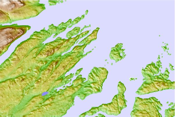
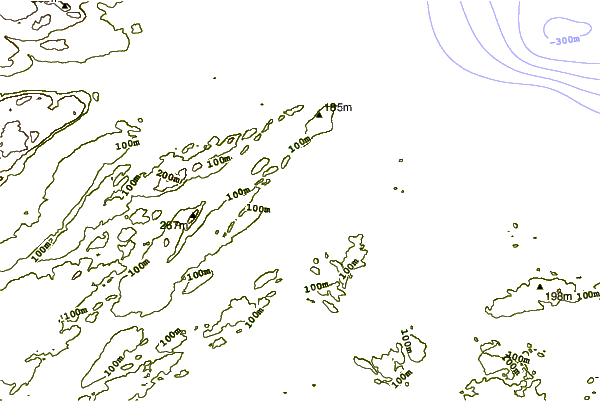
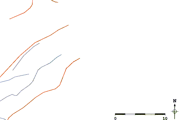
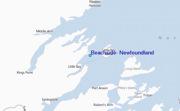
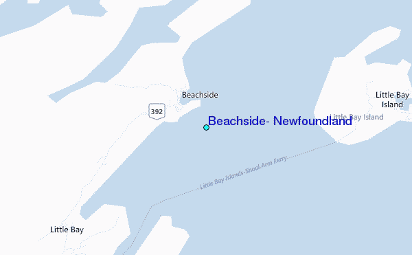
Use this relief map to navigate to tide stations, surf breaks and cities that are in the area of Beachside, Newfoundland.
Other Nearby Locations' tide tables and tide charts to Beachside, Newfoundland:
click location name for more details
 Surf breaks close to Beachside, Newfoundland:
|
||
|---|---|---|
| Closest surf break | Ingonish Beach | 293 mi |
| Second closest surf break | Kennington Cove | 324 mi |
| Third closest surf break | Michaud Point | 359 mi |
| Fourth closest surf break | Martinique | 484 mi |
| Fifth closest surf break | Lawrencetown Left Point | 491 mi |


 Nearest
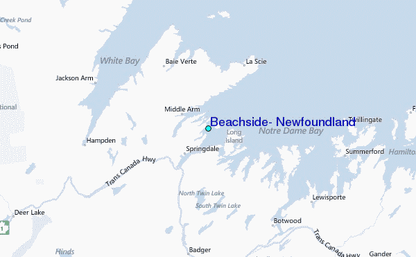