
| Distance / Altitude | Location | Report Date / Time | Live Weather | Wind | Gusts | Temp. | Visibility | Cloud |
|---|---|---|---|---|---|---|---|---|
| 12 km SW / 480 m | Trois Rivieres Airport (Quebec) | 2026-07-26 06:00 local (2026/07/26 10:00 GMT) | no report | wind obs. (7 kph from 230 degs) was rejected (- km/h at -) | 25°C | 0.0 | - - - | |
| 24 km SW / 61 m | Trois Rivieres Airport (Canada) | 2026-07-26 05:00 local (2026/07/26 09:00 GMT) | Clear | light winds from the NNE (7 km/h at 20) | 15°C | 14 | ||
| 25 km WNW / 214 m | Shawinigan Airport (Quebec) | 2026-07-26 05:00 local (2026/07/26 09:00 GMT) | - | light winds from the NNW (6 km/h at 330) | 15°C | 0.0 | ||
| 26 km SW / 15 m | 1264 (Canada) | 2026-07-26 06:00 local (2026/07/26 10:00 GMT) | - | light winds from the ENE (11 km/h at 74) | 18°C | - | - - 0 | |
| 28 km ESE / 97 m | Lemieux- Que (Canada) | 2026-07-26 05:00 local (2026/07/26 09:00 GMT) | no report | wind obs. (7 kph from 220 degs) was rejected (- km/h at -) | 23°C | - | - - - | |
| 29 km SSW / 8 m | Nicolet- Que (Canada) | 2026-07-26 06:00 local (2026/07/26 10:00 GMT) | - | wind obs. (7 kph from 220 degs) was rejected (- km/h at -) | — | - | - | |
| 29 km SSW / 187 m | Nicolet Airport (Quebec) | 2026-07-26 05:00 local (2026/07/26 09:00 GMT) | - | calm (4 km/h at 330) | 16°C | 0.0 | - - - | |
| 32 km WNW / 110 m | Shawinigan- Que (Canada) | 2026-07-26 06:00 local (2026/07/26 10:00 GMT) | - | calm (4 km/h at 280) | — | - | - - - | |
| 37 km NE / 3 m | SHIP983 (Marine) | 2026-07-26 06:00 local (2026/07/26 10:00 GMT) | light winds from the ENE (8 km/h at 70) | — | - | |||
| 37 km NE / 3 m | SHIP3652 (Marine) | 2026-07-26 06:00 local (2026/07/26 10:00 GMT) | light winds from the ENE (8 km/h at 70) | — | - |
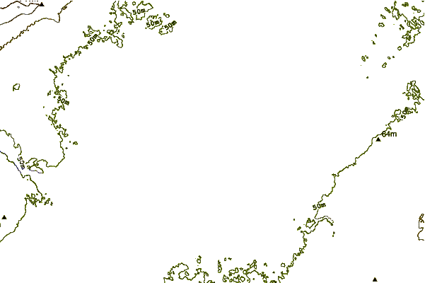
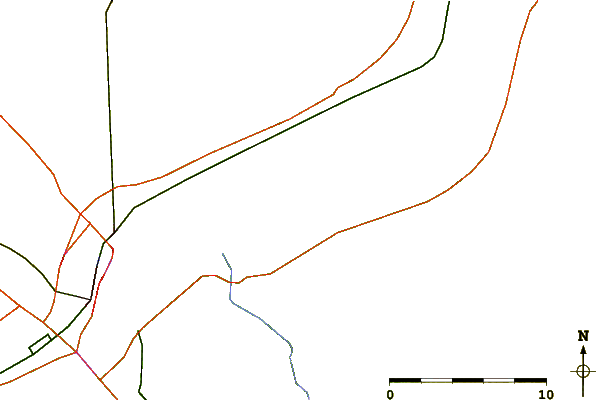
| Contours: | Roads & Rivers: | Select a
tide station / surf break / city |
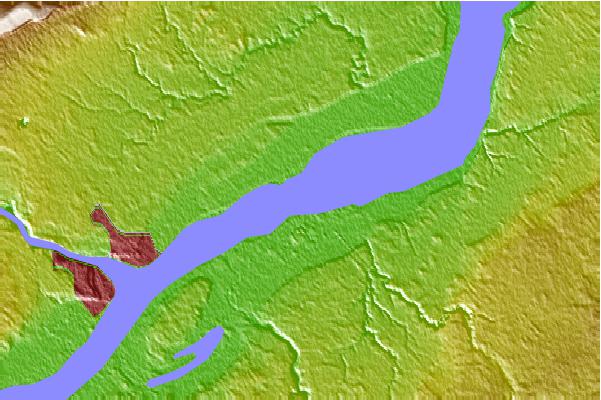
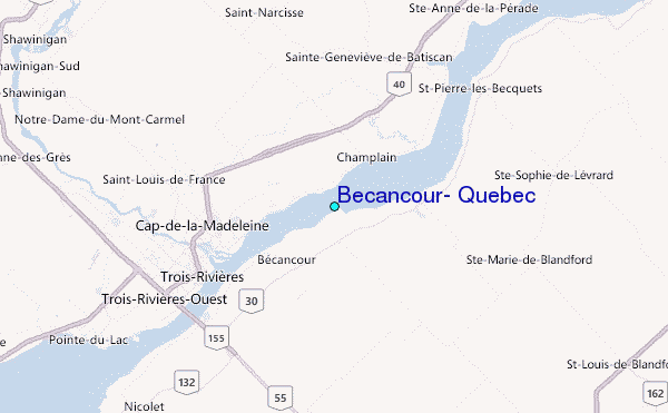
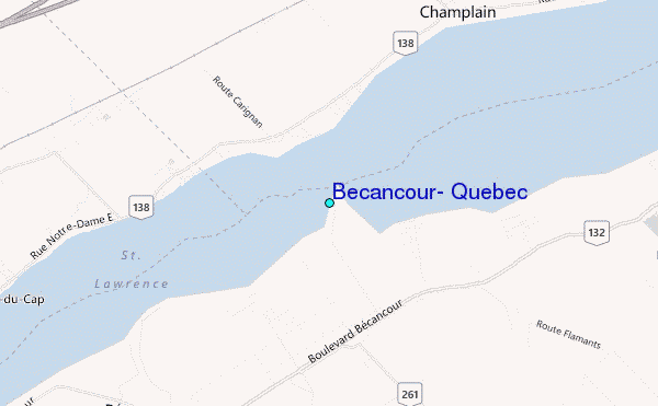
Use this relief map to navigate to tide stations, surf breaks and cities that are in the area of Becancour, Quebec.
Other Nearby Locations' tide tables and tide charts to Becancour, Quebec:
click location name for more details
 Surf breaks close to Becancour, Quebec:
|
||
|---|---|---|
| Closest surf break | Trayhan's | 218 mi |
| Second closest surf break | Pine Point | 221 mi |
| Third closest surf break | Higgins Beach | 222 mi |
| Fourth closest surf break | Old Orchard Beach | 222 mi |
| Fifth closest surf break | Scarborough Beach | 222 mi |


 Nearest
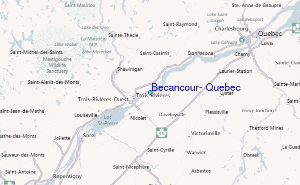