
| Distance / Altitude | Location | Report Date / Time | Live Weather | Wind | Gusts | Temp. | Visibility | Cloud |
|---|---|---|---|---|---|---|---|---|
| 16 km E / 328 m | Bella Coola Airport (British Columbia) | 2026-07-25 16:33 local (2026/07/25 23:33 GMT) | Mist - | light winds from the WNW (9 km/h at 300) | 16°C | 6 | broken overcast | |
| 51 km SW / 26 m | Cathedral Point (Aut)- BC (Canada) | 2026-07-25 16:00 local (2026/07/25 23:00 GMT) | no report | light winds from the WSW (14 km/h at 240) | — | - | - | |
| 51 km SW / 214 m | Cathedral Point Airport (British Columbia) | 2026-07-25 16:00 local (2026/07/25 23:00 GMT) | - | light winds from the W (9 km/h at 260) | 15°C | 0.0 | - - - | |
| 95 km SW / 43 m | Bella Bella Airport (British columbia) | 2026-07-25 16:36 local (2026/07/25 23:36 GMT) | Moderate rain | light winds from the ESE (7 km/h at 120) | — | 5 | - scattered broken | |
| 95 km SW / 43 m | Bella Bella- BC (Canada) | 2026-07-25 16:00 local (2026/07/25 23:00 GMT) | - | calm (4 km/h at 250) | — | - | - | |
| 104 km E / 1160 m | Charlotte Lake wx (Canada) | 2026-07-25 16:44 local (2026/07/25 23:44 GMT) | - | wind obs. (14 kph from 192 degs) was rejected (- km/h at -) | 19°C | - | - - 0 | |
| 116 km WSW / 15 m | SHIP7644 (Marine) | 2026-07-25 15:00 local (2026/07/25 22:00 GMT) | moderate winds from the E (25.92 km/h at 100) | — | - km | |||
| 116 km WSW / 15 m | SHIP5293 (Marine) | 2026-07-25 16:00 local (2026/07/25 23:00 GMT) | moderate winds from the E (27.720000000000002 km/h at 100) | — | - km | |||
| 116 km WSW / 15 m | SHIP6198 (Marine) | 2026-07-25 15:00 local (2026/07/25 22:00 GMT) | moderate winds from the E (25.92 km/h at 100) | — | - km | |||
| 116 km WSW / 15 m | SHIP2624 (Marine) | 2026-07-25 16:00 local (2026/07/25 23:00 GMT) | calm (5.4 km/h at 270) | — | - km |
| Contours: | Roads & Rivers: | Select a
tide station / surf break / city |
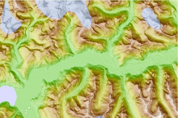
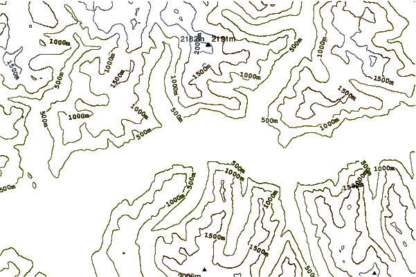
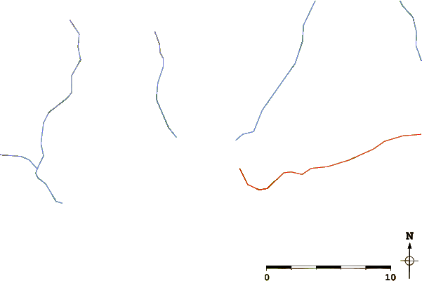
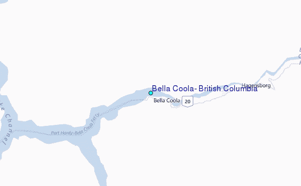
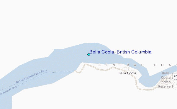
Use this relief map to navigate to tide stations, surf breaks and cities that are in the area of Bella Coola, British Columbia.
Other Nearby Locations' tide tables and tide charts to Bella Coola, British Columbia:
click location name for more details
 Surf breaks close to Bella Coola, British Columbia:
|
||
|---|---|---|
| Closest surf break | Nootka Island (Calvin Bay) | 188 mi |
| Second closest surf break | Tofino (North Chestermans Beach) | 229 mi |
| Third closest surf break | South Chesterman Beach | 230 mi |
| Fourth closest surf break | Rosie's Bay | 230 mi |
| Fifth closest surf break | Cox Bay | 231 mi |


 Nearest
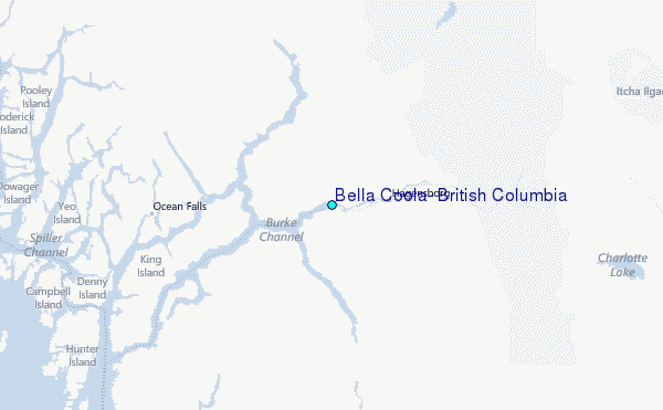