
| Distance / Altitude | Location | Report Date / Time | Live Weather | Wind | Gusts | Temp. | Visibility | Cloud |
|---|---|---|---|---|---|---|---|---|
| 26 km N / 164 m | Kuujjuarapik Airport (Quebec) | 2026-07-25 20:00 local (2026/07/26 00:00 GMT) | Dry and cloudy | light winds from the NNW (7 km/h at 330) | 9°C | 14 | overcast | |
| 27 km N / 12 m | Kuujjuarapik Arpt (Canada) | 2026-07-25 20:30 local (2026/07/26 00:30 GMT) | no report | calm (4 km/h at 310) | 8°C | - | - | |
| 156 km S / 195 m | LA Grande Riviere A- Que (Canada) | 2026-07-25 21:00 local (2026/07/26 01:00 GMT) | no report | - (- km/h at -) | 6°C | - | - - - | |
| 158 km S / 217 m | La Grande Rivier Airport (Quebec) | 2026-07-25 20:42 local (2026/07/26 00:42 GMT) | Drizzle | light winds from the NNW (13 km/h at 330) | 10°C | 5 | overcast | |
| 192 km NW / 34 m | Sanikiluaq (Canada) | 2026-07-25 21:00 local (2026/07/26 01:00 GMT) | no report | strong winds from the W (40 km/h at 260) | 4°C | - | - - - | |
| 301 km ESE / 714 m | Aéroport de La Grande-4 (Quebec) | 2026-07-25 20:39 local (2026/07/26 00:39 GMT) | no report | light winds from the WSW (14 km/h at 250) | 8°C | 14 | scattered broken overcast | |
| 301 km ESE / 714 m | LA Grande-4 Airport (Quebec) | 2026-07-25 21:00 local (2026/07/26 01:00 GMT) | no report | light winds from the WSW (14 km/h at 250) | 8°C | 14 | scattered broken overcast | |
| 381 km N / 217 m | Inukjuak Airport (Quebec) | 2026-07-25 21:20 local (2026/07/26 01:20 GMT) | no report | strong winds from the W (43 km/h at 260) | 3°C | 14 | few - - | |
| 386 km SSW / 9 m | Attawapiskat Airport (Canada) | 2026-07-25 20:00 local (2026/07/26 00:00 GMT) | Clear | light winds from the ESE (9 km/h at 110) | 13°C | 14 | ||
| 435 km NE / 171 m | Riviere Aux Feuilles- Que (Canada) | 2026-07-25 21:00 local (2026/07/26 01:00 GMT) | - | strong winds from the W (40 km/h at 260) | — | - | - |
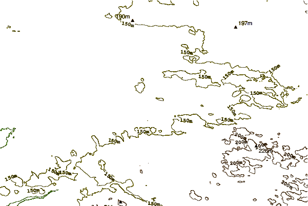
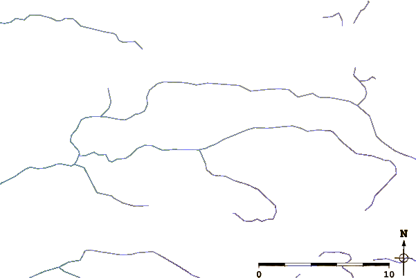
| Contours: | Roads & Rivers: | Select a
tide station / surf break / city |
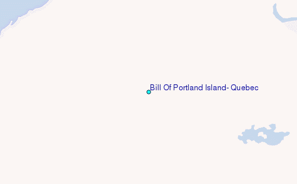
Use this relief map to navigate to tide stations, surf breaks and cities that are in the area of Bill Of Portland Island, Quebec.
Other Nearby Locations' tide tables and tide charts to Bill Of Portland Island, Quebec:
click location name for more details
 Surf breaks close to Bill Of Portland Island, Quebec:
|
||
|---|---|---|
| Closest surf break | Marathon | 574 mi |
| Second closest surf break | Alona Bay | 622 mi |
| Third closest surf break | Manitoulin Island | 676 mi |
| Fourth closest surf break | Bayfield | 678 mi |
| Fifth closest surf break | Au Sable Point | 683 mi |


 Nearest
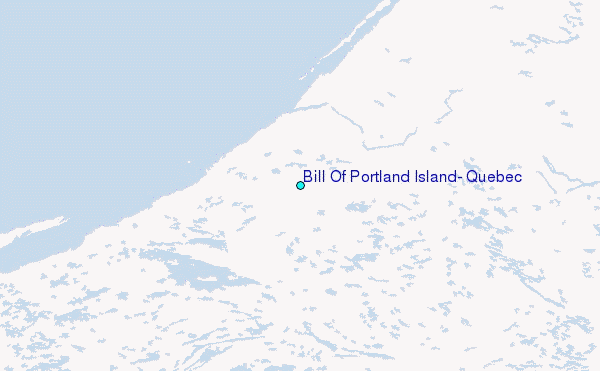