
| Distance / Altitude | Location | Report Date / Time | Live Weather | Wind | Gusts | Temp. | Visibility | Cloud |
|---|---|---|---|---|---|---|---|---|
| 65 km W / 15 m | Rea Point- NU (Canada) | 2026-07-25 19:00 local (2026/07/25 23:00 GMT) | no report | wind obs. (14 kph from 160 degs) was rejected (- km/h at -) | 0°C | - | - - - | |
| 65 km W / 12 m | Rae Point (Nunavut) | 2026-07-25 19:00 local (2026/07/25 23:00 GMT) | - | moderate winds from the N (22 km/h at 10) | 1°C | 0.0 | ||
| 164 km S / 11 m | Stefansson Island Airport (Nunavut) | 2026-07-25 19:00 local (2026/07/25 23:00 GMT) | - | light winds from the NE (11 km/h at 50) | 1°C | 0.0 | ||
| 165 km S / 11 m | Stefansson Island- NU (Canada) | 2026-07-25 20:00 local (2026/07/26 00:00 GMT) | no report | wind obs. (18 kph from 230 degs) was rejected (- km/h at -) | — | - | - | |
| 254 km E / 216 m | Resolute Airport (N.w. Territories) | 2026-07-25 19:00 local (2026/07/25 23:00 GMT) | Dry and partly cloudy | light winds from the W (9 km/h at 280) | 8°C | 48 | few broken | |
| 254 km E / 30 m | Resolute CS Airport (Nunavut) | 2026-07-25 20:00 local (2026/07/26 00:00 GMT) | no report | wind obs. (7 kph from 290 degs) was rejected (- km/h at -) | 1°C | 0.0 | - - - | |
| 255 km E / 30 m | Resolute (Canada) | 2026-07-25 20:00 local (2026/07/26 00:00 GMT) | - | wind obs. (7 kph from 270 degs) was rejected (- km/h at -) | — | - | - | |
| 450 km W / 2 m | Mould Bay Cs- Nwt (Canada) | 2026-07-25 19:00 local (2026/07/25 23:00 GMT) | no report | wind obs. (14 kph from 320 degs) was rejected (- km/h at -) | 0°C | - | - - - | |
| 455 km E / 15 m | ASCATB271E74N (Marine) | 2026-07-25 18:06 local (2026/07/25 22:06 GMT) | light winds from the S (9 km/h at 182) | — | - km | |||
| 458 km SE / 10 m | Fort Ross- NU (Canada) | 2026-07-25 20:00 local (2026/07/26 00:00 GMT) | no report | wind obs. (18 kph from 320 degs) was rejected (- km/h at -) | 2°C | - | - - - |
| Contours: | Roads & Rivers: | Select a
tide station / surf break / city |
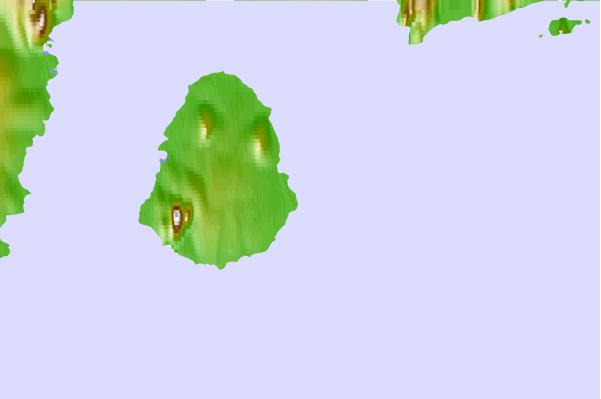
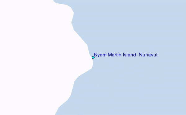
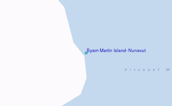
Use this relief map to navigate to tide stations, surf breaks and cities that are in the area of Byam Martin Island, Nunavut.
Other Nearby Locations' tide tables and tide charts to Byam Martin Island, Nunavut:
click location name for more details
 Surf breaks close to Byam Martin Island, Nunavut:
|
||
|---|---|---|
| Closest surf break | Graveyards | 1404 mi |
| Second closest surf break | Ocean Cape | 1406 mi |
| Third closest surf break | Cannon Beach | 1406 mi |
| Fourth closest surf break | Bird Point (Tidal Bore) | 1525 mi |
| Fifth closest surf break | Tow Hill Beach | 1644 mi |


 Nearest
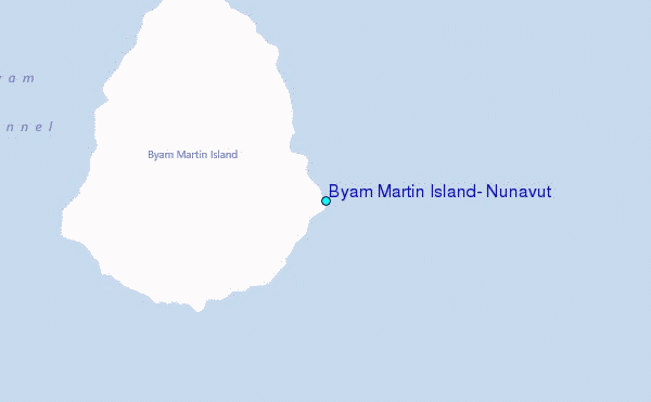