
| Distance / Altitude | Location | Report Date / Time | Live Weather | Wind | Gusts | Temp. | Visibility | Cloud |
|---|---|---|---|---|---|---|---|---|
| 100 km SW / 1 m | Goose Ua- Nfld (Canada) | 2026-07-26 00:30 local (2026/07/26 03:00 GMT) | no report | - (- km/h at -) | 25°C | - | - | |
| 102 km SW / 216 m | Goose Bay Airport (Newfoundland) | 2026-07-25 23:30 local (2026/07/26 02:00 GMT) | Dry and partly cloudy | light winds from the S (11 km/h at 190) | 23°C | 24 | few scattered scattered | |
| 132 km E / 14 m | Cartwright (Canada) | 2026-07-26 00:30 local (2026/07/26 03:00 GMT) | no report | light winds from the SW (7 km/h at 230) | 18°C | - | - | |
| 132 km E / 12 m | Cartwright Airport (Newfoundland) | 2026-07-25 23:30 local (2026/07/26 02:00 GMT) | Clear | light winds from the WSW (9 km/h at 240) | 17°C | 14 | ||
| 208 km NW / 212 m | Hopedale Airport (Newfoundland) | 2026-07-25 23:30 local (2026/07/26 02:00 GMT) | - | strong winds from the S (43 km/h at 180) | 20°C | 0.0 | ||
| 266 km SE / 12 m | Mary s Harbour- Nfld (Canada) | 2026-07-25 23:30 local (2026/07/26 02:00 GMT) | - | moderate winds from the WSW (22 km/h at 250) | — | - | - | |
| 267 km SE / 217 m | Mary's Harbour Airport (Newfoundland) | 2026-07-25 23:30 local (2026/07/26 02:00 GMT) | Clear | light winds from the NW.(Wind varies from 270 to 360 degs) (6 km/h at 320) | 18°C | 14 | ||
| 282 km SSE / 37 m | Lourdes DE Blanc Sablon A- Que (Canada) | 2026-07-26 00:30 local (2026/07/26 03:00 GMT) | no report | - (- km/h at -) | 10°C | - | - | |
| 282 km SSE / 216 m | Blanc Sablon Airport (Quebec) | 2026-07-26 00:06 local (2026/07/26 02:36 GMT) | Dry and partly cloudy | light winds from the SW (9 km/h at 230) | 12°C | 13 | broken | |
| 328 km SSE / 6 m | Ferolle Point (Aut)- Nfld (Canada) | 2026-07-25 23:30 local (2026/07/26 02:00 GMT) | no report | strong winds from the SSW (50 km/h at 200) | 13°C | - | - - - |
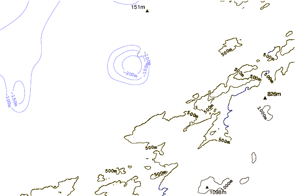
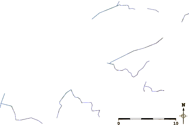
| Contours: | Roads & Rivers: | Select a
tide station / surf break / city |
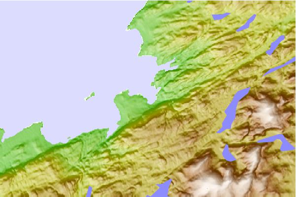
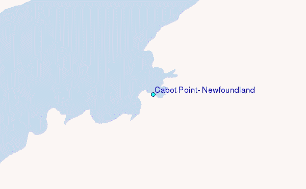
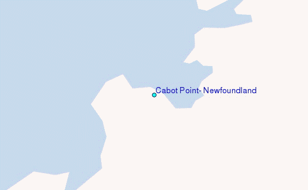
Use this relief map to navigate to tide stations, surf breaks and cities that are in the area of Cabot Point, Newfoundland.
Other Nearby Locations' tide tables and tide charts to Cabot Point, Newfoundland:
click location name for more details
 Surf breaks close to Cabot Point, Newfoundland:
|
||
|---|---|---|
| Closest surf break | Ingonish Beach | 493 mi |
| Second closest surf break | Kennington Cove | 544 mi |
| Third closest surf break | Michaud Point | 568 mi |
| Fourth closest surf break | Martinique | 651 mi |
| Fifth closest surf break | Lawrencetown Left Point | 656 mi |


 Nearest
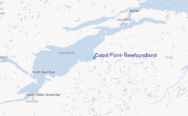