
| Distance / Altitude | Location | Report Date / Time | Live Weather | Wind | Gusts | Temp. | Visibility | Cloud |
|---|---|---|---|---|---|---|---|---|
| 6 km SSE / 217 m | Moffett Federal Airfield Airport (California) | 2026-06-18 23:35 local (2026/06/19 06:35 GMT) | Clear | calm (0 km/h at 0) | 17°C | 16 | ||
| 13 km NE / 23 m | Shinn wx (United States) | 2026-06-19 00:01 local (2026/06/19 07:01 GMT) | dry | calm (3 km/h at 207) | 18°C | - | - - 0 | |
| 14 km W / 3 m | BUOY-RTYC1 (Marine) | 2026-06-19 00:00 local (2026/06/19 07:00 GMT) | light winds from the S (15 km/h at 190) | 17°C | - | |||
| 14 km S / 72 m | Cupertino wx (United States) | 2026-06-19 00:01 local (2026/06/19 07:01 GMT) | dry | calm (0 km/h at 0) | 17°C | - | - - 0 | |
| 15 km SSE / 64.5 m | Cupertino (California) | 2026-06-19 00:09 local (2026/06/19 07:09 GMT) | dry | calm (3 km/h at 135) | 16°C | - | - - 0 | |
| 17 km W / 393 m | San Carlos Airport (California) | 2026-06-18 23:35 local (2026/06/19 06:35 GMT) | Clear | light winds from the WSW (6 km/h at 240) | 17°C | 16 | ||
| 17 km WSW / 19 m | San Carlos (California) | 2026-06-19 00:06 local (2026/06/19 07:06 GMT) | dry | calm (0 km/h at 0) | 16°C | - | - - 0 | |
| 17 km SE / 218 m | San Jose Airport (California) | 2026-06-18 22:53 local (2026/06/19 05:53 GMT) | - | moderate winds from the S (22 km/h at 190) | 17°C | 16 | few | |
| 18 km SSE / 41.8 m | Santa Clara (California) | 2026-06-19 00:09 local (2026/06/19 07:09 GMT) | dry | light winds from the SSW (6 km/h at 192) | 16°C | - | - - 0 | |
| 19 km W / 1 m | Belmont wx (United States) | 2026-06-18 23:04 local (2026/06/19 06:04 GMT) | dry | calm (5 km/h at 237) | 16°C | - | - - 0 |
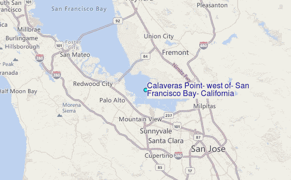
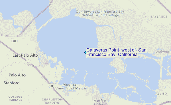
Choose Calaveras Point, west of, San Francisco Bay, California Location Map Zoom:
| Contours: | Roads & Rivers: | Select a
tide station / surf break / city |
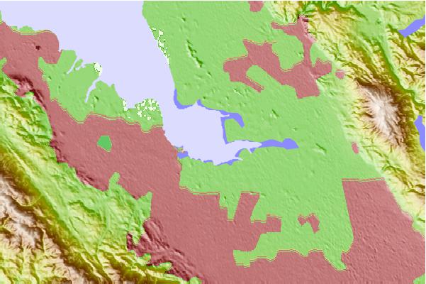
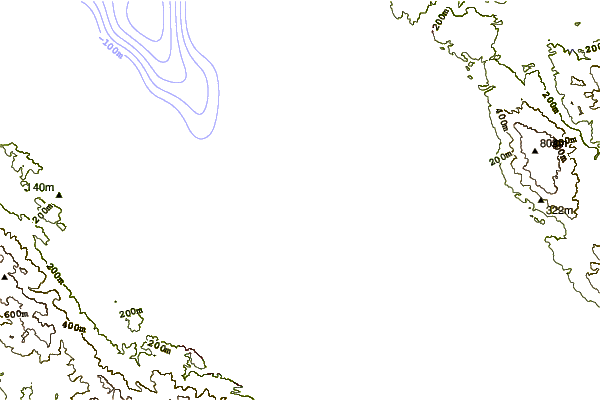
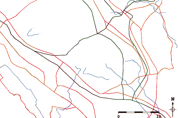
Use this relief map to navigate to tide stations, surf breaks and cities that are in the area of Calaveras Point, west of, San Francisco Bay, California.
Other Nearby Locations' tide tables and tide charts to Calaveras Point, west of, San Francisco Bay, California:
click location name for more details
 Surf breaks close to Calaveras Point, west of, San Francisco Bay, California:
|
||
|---|---|---|
| Closest surf break | Francis Beach | 21 mi |
| Second closest surf break | San Gregorio State Beach | 21 mi |
| Third closest surf break | Pomponio State Beach | 22 mi |
| Fourth closest surf break | Princeton Breakwater | 23 mi |
| Fifth closest surf break | Pescadero State Beach | 24 mi |


 Nearest
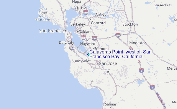