
| Distance / Altitude | Location | Report Date / Time | Live Weather | Wind | Gusts | Temp. | Visibility | Cloud |
|---|---|---|---|---|---|---|---|---|
| 193 km SSE / 339 m | Puvirnituq Airport (Quebec) | 2026-07-26 05:42 local (2026/07/26 09:42 GMT) | Dry and partly cloudy | moderate winds from the S (22 km/h at 190) | — | 14 | few broken broken | |
| 279 km E / 503 m | Parc National Des Pingualuit- Que (Canada) | 2026-07-26 05:00 local (2026/07/26 09:00 GMT) | - | moderate winds from the WSW (22 km/h at 240) | — | - | - | |
| 317 km NNE / 217 m | Cape Dorset Airport (N.w. Territories) | 2026-07-26 05:00 local (2026/07/26 09:00 GMT) | Dry and cloudy | light winds from the E (15 km/h at 100) | 3°C | 0.0 | overcast | |
| 318 km NNE / 50 m | Cape Dorset Climate- NU (Canada) | 2026-07-26 06:00 local (2026/07/26 10:00 GMT) | no report | moderate winds from the ENE (22 km/h at 70) | 0°C | - | - - - | |
| 350 km S / 1 m | Inukjuak Ua- Que (Canada) | 2026-07-26 05:41 local (2026/07/26 09:41 GMT) | Dry and partly cloudy | light winds from the SSW (19 km/h at 210) | 8°C | 14 | scattered broken - | |
| 371 km WNW / 22 m | Coral Harbour Airport (Canada) | 2026-07-26 06:00 local (2026/07/26 10:00 GMT) | no report | - (- km/h at -) | 3°C | - | - - - | |
| 526 km SE / 171 m | Riviere Aux Feuilles- Que (Canada) | 2026-07-26 06:00 local (2026/07/26 10:00 GMT) | no report | strong winds from the W (40 km/h at 260) | 4°C | - | - | |
| 563 km S / 34 m | Sanikiluaq (Canada) | 2026-07-26 06:00 local (2026/07/26 10:00 GMT) | no report | wind obs. (40 kph from 260 degs) was rejected (- km/h at -) | 4°C | - | - - - | |
| 581 km ENE / 34 m | Iqaluit (Canada) | 2026-07-26 06:00 local (2026/07/26 10:00 GMT) | no report | calm (4 km/h at 150) | 2°C | - | - | |
| 582 km ENE / 217 m | Frobisher/Iqaluit Airport (N.w. Territories) | 2026-07-26 05:00 local (2026/07/26 09:00 GMT) | Light rain | moderate winds from the SSE (22 km/h at 150) | 2°C | 13 | overcast |

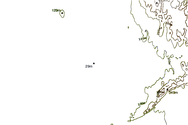
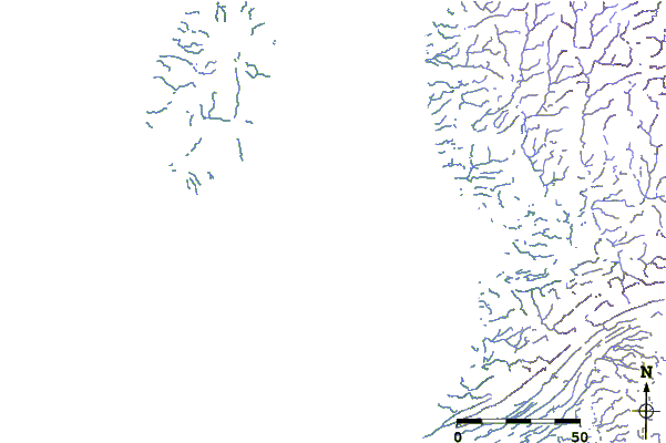
| Contours: | Roads & Rivers: | Select a
tide station / surf break / city |
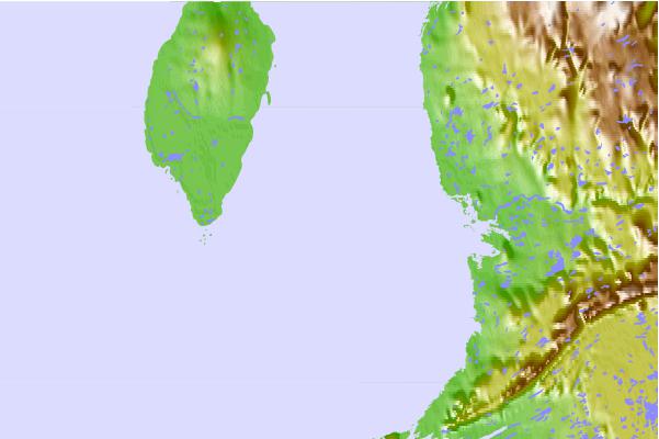
Use this relief map to navigate to tide stations, surf breaks and cities that are in the area of Cape Acadia, Quebec.
Other Nearby Locations' tide tables and tide charts to Cape Acadia, Quebec:
click location name for more details
 Surf breaks close to Cape Acadia, Quebec:
|
||
|---|---|---|
| Closest surf break | Marathon | 937 mi |
| Second closest surf break | Alona Bay | 1023 mi |
| Third closest surf break | Keweenaw Peninsula | 1043 mi |
| Fourth closest surf break | Au Sable Point | 1070 mi |
| Fifth closest surf break | Grand Marias | 1070 mi |


 Nearest
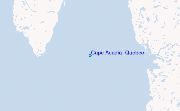