
| Distance / Altitude | Location | Report Date / Time | Live Weather | Wind | Gusts | Temp. | Visibility | Cloud |
|---|---|---|---|---|---|---|---|---|
| 161 km SE / 26 m | Cylde Airport (Canada) | 2026-07-26 05:00 local (2026/07/26 09:00 GMT) | no report | wind obs. (14 kph from 350 degs) was rejected (- km/h at -) | 0°C | - | - - - | |
| 162 km SE / 217 m | Cylde Airport (N.w. Territories) | 2026-07-26 05:00 local (2026/07/26 09:00 GMT) | Clear | light winds from the E (9 km/h at 100) | 4°C | 14 | ||
| 255 km W / 55 m | Pond Inlet Climate- NU (Canada) | 2026-07-26 06:00 local (2026/07/26 10:00 GMT) | no report | wind obs. (7 kph from 250 degs) was rejected (- km/h at -) | 2°C | - | - | |
| 255 km W / 62 m | Pond Inlet A- NU (Canada) | 2026-07-26 05:00 local (2026/07/26 09:00 GMT) | no report | wind obs. (7 kph from 230 degs) was rejected (- km/h at -) | 2°C | - | - | |
| 255 km W / 217 m | Pond Inlet Airport (N.w. Territories) | 2026-07-26 05:00 local (2026/07/26 09:00 GMT) | Clear | calm (0 km/h at 0) | 11°C | 14 | ||
| 481 km SSW / 8 m | Hall Beach (Canada) | 2026-07-26 06:00 local (2026/07/26 10:00 GMT) | - | wind obs. (22 kph from 300 degs) was rejected (- km/h at -) | — | - | - - - | |
| 482 km SSW / 210 m | Hall Beach Airport (N.w. Territories) | 2026-07-26 05:00 local (2026/07/26 09:00 GMT) | Clear | light winds from the NNE (13 km/h at 30) | 6°C | 14 | ||
| 486 km W / 2 m | Arctic Bay Airport (N.w. Territories) | 2026-07-26 05:00 local (2026/07/26 09:00 GMT) | - | calm (0 km/h at 0) | 6°C | 0.0 | ||
| 486 km W / 10 m | Arctic Bay Cs- NU (Canada) | 2026-07-26 06:00 local (2026/07/26 10:00 GMT) | no report | light winds from the NW (14 km/h at 320) | 2°C | - | - - - | |
| 528 km NE / 40 m | Edderfugle Oeer (Greenland) | 2026-07-26 06:00 local (2026/07/26 10:00 GMT) | no report | wind obs. (20 kph from 340 degs) was rejected (- km/h at -) | 0°C | - | - - - |
| Contours: | Roads & Rivers: | Select a
tide station / surf break / city |
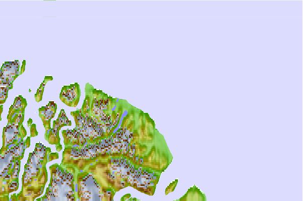
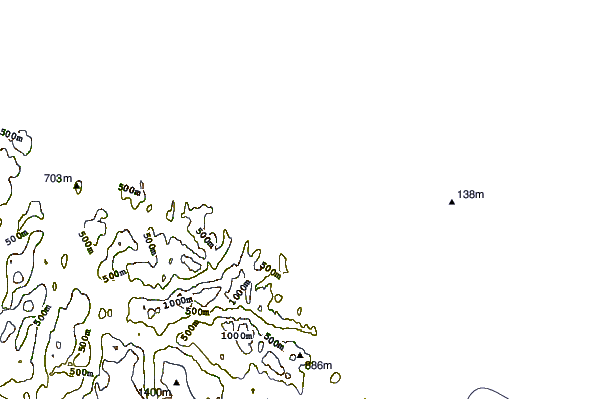
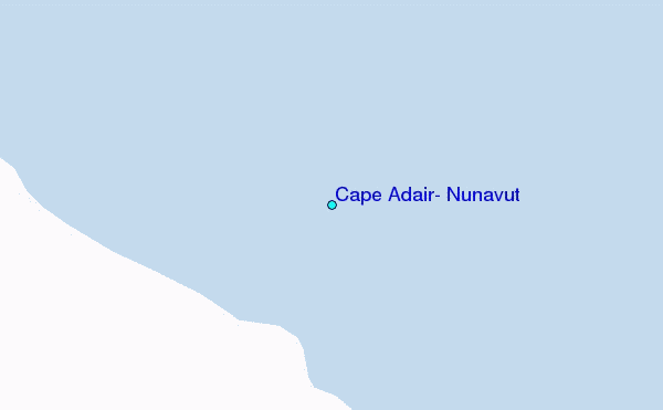
Use this relief map to navigate to tide stations, surf breaks and cities that are in the area of Cape Adair, Nunavut.
Other Nearby Locations' tide tables and tide charts to Cape Adair, Nunavut:
click location name for more details
 Surf breaks close to Cape Adair, Nunavut:
|
||
|---|---|---|
| Closest surf break | Garur | 1330 mi |
| Second closest surf break | Hafnir | 1337 mi |
| Third closest surf break | Grotta | 1341 mi |
| Fourth closest surf break | Sandvik | 1345 mi |
| Fifth closest surf break | Hafnarfjordur | 1347 mi |


 Nearest
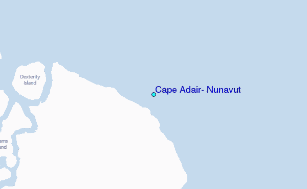