
| Distance / Altitude | Location | Report Date / Time | Live Weather | Wind | Gusts | Temp. | Visibility | Cloud |
|---|---|---|---|---|---|---|---|---|
| 12 km SW / 26 m | Cylde Airport (Canada) | 2026-07-26 05:00 local (2026/07/26 09:00 GMT) | no report | wind obs. (14 kph from 350 degs) was rejected (- km/h at -) | 0°C | - | - - - | |
| 12 km SW / 217 m | Cylde Airport (N.w. Territories) | 2026-07-26 05:00 local (2026/07/26 09:00 GMT) | Clear | light winds from the E (9 km/h at 100) | 4°C | 14 | ||
| 371 km SSE / 6 m | Qikiqtarjuaq Airport (Canada) | 2026-07-26 06:00 local (2026/07/26 10:00 GMT) | no report | calm (4 km/h at 20) | -1°C | - | - - - | |
| 377 km SSE / 707 m | Broughton Island Airport (N.w. Territories) | 2026-07-26 05:00 local (2026/07/26 09:00 GMT) | Clear | wind obs. (11 kph from 200 degs) was rejected (- km/h at -) | 3°C | 14 | ||
| 419 km WNW / 217 m | Pond Inlet Airport (N.w. Territories) | 2026-07-26 05:00 local (2026/07/26 09:00 GMT) | Clear | calm (0 km/h at 0) | 11°C | 14 | ||
| 420 km WNW / 55 m | Pond Inlet Climate- NU (Canada) | 2026-07-26 06:00 local (2026/07/26 10:00 GMT) | no report | wind obs. (7 kph from 250 degs) was rejected (- km/h at -) | 2°C | - | - | |
| 420 km WNW / 62 m | Pond Inlet A- NU (Canada) | 2026-07-26 05:00 local (2026/07/26 09:00 GMT) | no report | wind obs. (7 kph from 230 degs) was rejected (- km/h at -) | 2°C | - | - | |
| 493 km NE / 130 m | Mittarfik Upernavik (Upernavik Lufthavn) (Greenland) | 2026-07-26 06:00 local (2026/07/26 10:00 GMT) | severe duststorm, decreasing in intensity | wind obs. (6 kph from 80 degs) was rejected (- km/h at -) | 4°C | 100 | - | |
| 499 km SSE / 23 m | Pangnirtung- NU (Canada) | 2026-07-26 06:00 local (2026/07/26 10:00 GMT) | no report | calm (4 km/h at 130) | 5°C | - | - - - | |
| 504 km E / 221 m | Nuussuaq (Greenland) | 2026-07-26 06:00 local (2026/07/26 10:00 GMT) | no report | calm (4 km/h at 150) | 1°C | - | - |
| Contours: | Roads & Rivers: | Select a
tide station / surf break / city |
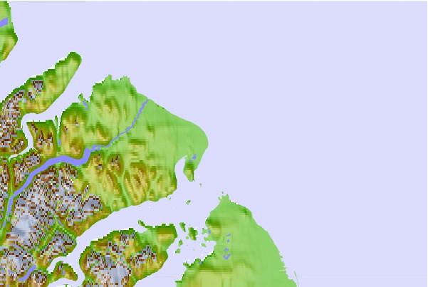
Use this relief map to navigate to tide stations, surf breaks and cities that are in the area of Cape Christian, Nunavut.
Other Nearby Locations' tide tables and tide charts to Cape Christian, Nunavut:
click location name for more details
 Surf breaks close to Cape Christian, Nunavut:
|
||
|---|---|---|
| Closest surf break | Garur | 1259 mi |
| Second closest surf break | Hafnir | 1265 mi |
| Third closest surf break | Grotta | 1270 mi |
| Fourth closest surf break | Sandvik | 1272 mi |
| Fifth closest surf break | Grindavik Antenas | 1275 mi |


 Nearest