
| Distance / Altitude | Location | Report Date / Time | Live Weather | Wind | Gusts | Temp. | Visibility | Cloud |
|---|---|---|---|---|---|---|---|---|
| 141 km WNW / 707 m | Broughton Island Airport (N.w. Territories) | 2026-07-26 05:00 local (2026/07/26 09:00 GMT) | Clear | wind obs. (11 kph from 200 degs) was rejected (- km/h at -) | 3°C | 14 | ||
| 150 km WNW / 6 m | Qikiqtarjuaq Airport (Canada) | 2026-07-26 06:00 local (2026/07/26 10:00 GMT) | no report | calm (4 km/h at 20) | -1°C | - | - - - | |
| 186 km SW / 23 m | Pangnirtung- NU (Canada) | 2026-07-26 06:00 local (2026/07/26 10:00 GMT) | no report | calm (4 km/h at 130) | 5°C | - | - - - | |
| 238 km SSW / 3 m | SHIP8603 (Marine) | 2026-07-26 04:00 local (2026/07/26 08:00 GMT) | fresh winds from the S (35 km/h at 170) | 3°C | - | |||
| 239 km SSW / 3 m | SHIP174 (Marine) | 2026-07-26 04:00 local (2026/07/26 08:00 GMT) | fresh winds from the S (35 km/h at 170) | 3°C | - | |||
| 239 km SSW / 15 m | SHIP3688 (Marine) | 2026-07-26 04:00 local (2026/07/26 08:00 GMT) | fresh winds from the S (35.28 km/h at 170) | 6°C | - km | |||
| 239 km SSW / 3 m | SHIP1435 (Marine) | 2026-07-26 04:00 local (2026/07/26 08:00 GMT) | fresh winds from the S (35 km/h at 170) | 3°C | - | |||
| 239 km SSW / 15 m | SHIP6636 (Marine) | 2026-07-26 04:00 local (2026/07/26 08:00 GMT) | fresh winds from the S (35.28 km/h at 170) | 6°C | - km | |||
| 239 km SSW / 15 m | SHIP2220 (Marine) | 2026-07-26 04:00 local (2026/07/26 08:00 GMT) | fresh winds from the S (35.28 km/h at 170) | 6°C | - km | |||
| 239 km SSW / 15 m | SHIP9579 (Marine) | 2026-07-26 04:00 local (2026/07/26 08:00 GMT) | fresh winds from the S (35.28 km/h at 170) | 6°C | - km |
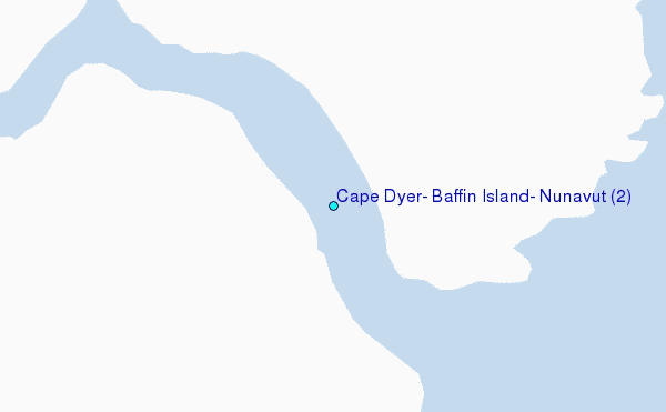
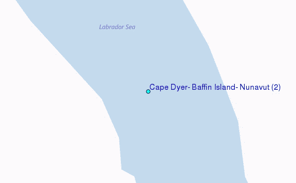
Choose Cape Dyer, Baffin Island, Nunavut (2) Location Map Zoom:
| Contours: | Roads & Rivers: | Select a
tide station / surf break / city |
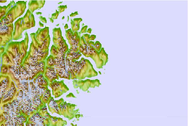
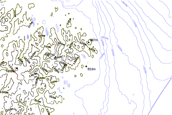
Use this relief map to navigate to tide stations, surf breaks and cities that are in the area of Cape Dyer, Baffin Island, Nunavut (2).
Other Nearby Locations' tide tables and tide charts to Cape Dyer, Baffin Island, Nunavut (2):
click location name for more details
 Surf breaks close to Cape Dyer, Baffin Island, Nunavut (2):
|
||
|---|---|---|
| Closest surf break | Garur | 1119 mi |
| Second closest surf break | Hafnir | 1124 mi |
| Third closest surf break | Sandvik | 1129 mi |
| Fourth closest surf break | Grindavik Antenas | 1134 mi |
| Fifth closest surf break | Grindavik Lighthouse ( Hopsnesta) | 1135 mi |


 Nearest
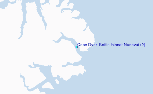