
| Distance / Altitude | Location | Report Date / Time | Live Weather | Wind | Gusts | Temp. | Visibility | Cloud |
|---|---|---|---|---|---|---|---|---|
| 147 km SE / 6 m | Qikiqtarjuaq Airport (Canada) | 2026-07-26 07:00 local (2026/07/26 10:00 GMT) | no report | calm (4 km/h at 20) | -1°C | - | - - - | |
| 156 km SE / 707 m | Broughton Island Airport (N.w. Territories) | 2026-07-26 06:00 local (2026/07/26 09:00 GMT) | Clear | wind obs. (11 kph from 200 degs) was rejected (- km/h at -) | 3°C | 14 | ||
| 242 km NW / 217 m | Cylde Airport (N.w. Territories) | 2026-07-26 06:00 local (2026/07/26 09:00 GMT) | Clear | light winds from the E (9 km/h at 100) | 4°C | 14 | ||
| 244 km NW / 26 m | Cylde Airport (Canada) | 2026-07-26 06:00 local (2026/07/26 09:00 GMT) | no report | wind obs. (14 kph from 350 degs) was rejected (- km/h at -) | 0°C | - | - - - | |
| 253 km S / 23 m | Pangnirtung- NU (Canada) | 2026-07-26 07:00 local (2026/07/26 10:00 GMT) | no report | calm (4 km/h at 130) | 5°C | - | - - - | |
| 357 km S / 15 m | SHIP1812 (Marine) | 2026-07-26 06:00 local (2026/07/26 09:00 GMT) | fresh winds from the S (38.88 km/h at 170) | 6°C | - km | |||
| 357 km S / 3 m | SHIP3541 (Marine) | 2026-07-26 06:00 local (2026/07/26 09:00 GMT) | strong winds from the S (39 km/h at 170) | 3°C | - | |||
| 357 km S / 3 m | SHIP2709 (Marine) | 2026-07-26 06:00 local (2026/07/26 09:00 GMT) | strong winds from the S (39 km/h at 170) | 3°C | - | |||
| 357 km S / 3 m | SHIP726 (Marine) | 2026-07-26 06:00 local (2026/07/26 09:00 GMT) | strong winds from the S (39 km/h at 170) | 3°C | - | |||
| 357 km S / 3 m | SHIP822 (Marine) | 2026-07-26 06:00 local (2026/07/26 09:00 GMT) | strong winds from the S (39 km/h at 170) | 3°C | - |
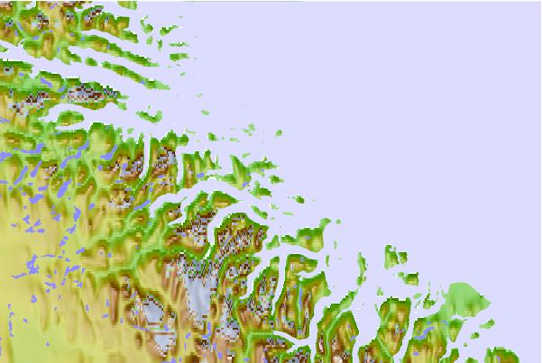
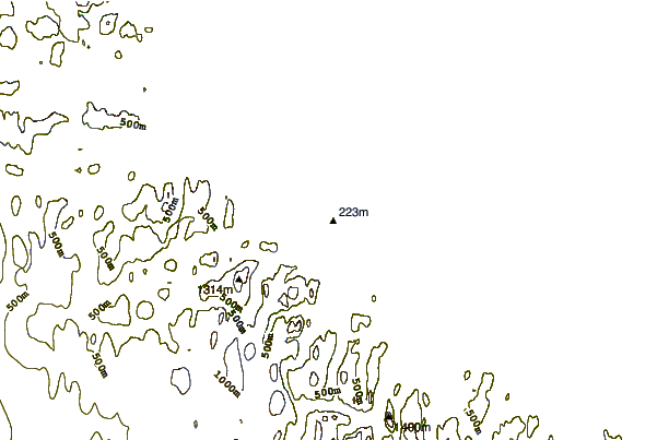
| Contours: | Roads & Rivers: | Select a
tide station / surf break / city |
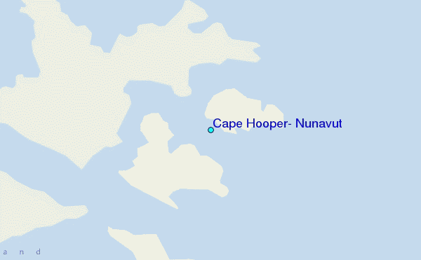
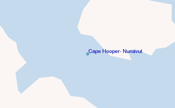
Use this relief map to navigate to tide stations, surf breaks and cities that are in the area of Cape Hooper, Nunavut.
Other Nearby Locations' tide tables and tide charts to Cape Hooper, Nunavut:
click location name for more details
 Surf breaks close to Cape Hooper, Nunavut:
|
||
|---|---|---|
| Closest surf break | Garur | 1234 mi |
| Second closest surf break | Hafnir | 1241 mi |
| Third closest surf break | Sandvik | 1247 mi |
| Fourth closest surf break | Grotta | 1248 mi |
| Fifth closest surf break | Grindavik Antenas | 1250 mi |


 Nearest
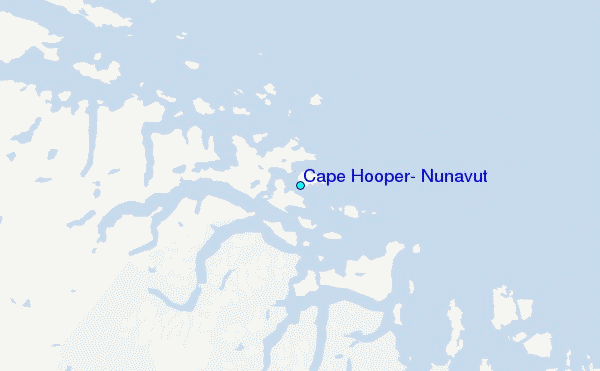