
| Distance / Altitude | Location | Report Date / Time | Live Weather | Wind | Gusts | Temp. | Visibility | Cloud |
|---|---|---|---|---|---|---|---|---|
| 83 km WNW / 15 m | hy2c234E71N (Marine) | 2026-07-25 21:39 local (2026/07/26 03:39 GMT) | fresh winds from the NNW (34 km/h at 330) | — | - km | |||
| 89 km S / 6 m | Paulatuk- Nwt (Canada) | 2026-07-25 23:00 local (2026/07/26 05:00 GMT) | no report | wind obs. (11 kph from 260 degs) was rejected (- km/h at -) | 4°C | - | - | |
| 125 km SSE / 616 m | Tuktut Nogait Airport (N.w. Territories) | 2026-07-25 22:00 local (2026/07/26 04:00 GMT) | - | calm (0 km/h at 0) | -1°C | 0.0 | ||
| 125 km SSE / 552 m | Tuktut Nogait- Nwt (Canada) | 2026-07-25 22:00 local (2026/07/26 04:00 GMT) | no report | wind obs. (11 kph from 260 degs) was rejected (- km/h at -) | -1°C | - | - - - | |
| 138 km WNW / 15 m | hy2c233E71N (Marine) | 2026-07-25 21:39 local (2026/07/26 03:39 GMT) | fresh winds from the NNW (30 km/h at 338) | — | - km | |||
| 156 km ENE / 15 m | hy2c240E71N (Marine) | 2026-07-25 21:39 local (2026/07/26 03:39 GMT) | fresh winds from the N (32 km/h at 2) | — | - km | |||
| 174 km E / 15 m | hy2c240E70N (Marine) | 2026-07-25 21:40 local (2026/07/26 03:40 GMT) | moderate winds from the WNW (28 km/h at 282) | — | - km | |||
| 189 km E / 15 m | hy2c241E70N (Marine) | 2026-07-25 21:40 local (2026/07/26 03:40 GMT) | moderate winds from the W (22 km/h at 278) | — | - km | |||
| 198 km WNW / 15 m | hy2c231E71N (Marine) | 2026-07-25 21:39 local (2026/07/26 03:39 GMT) | light winds from the NNW (19 km/h at 340) | — | - km | |||
| 210 km N / 88 m | Sachs Harbour Climate- Nwt (Canada) | 2026-07-25 23:00 local (2026/07/26 05:00 GMT) | no report | - (- km/h at -) | 0°C | - | - |
| Contours: | Roads & Rivers: | Select a
tide station / surf break / city |
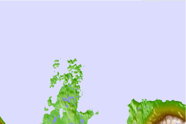
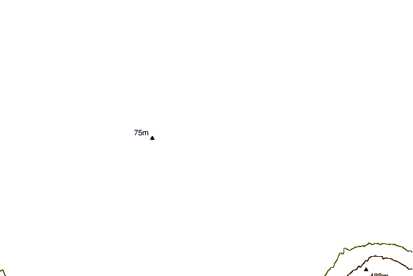
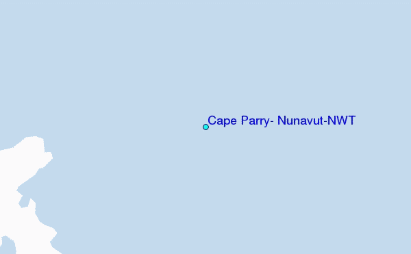
Use this relief map to navigate to tide stations, surf breaks and cities that are in the area of Cape Parry, Nunavut/NWT.
Other Nearby Locations' tide tables and tide charts to Cape Parry, Nunavut/NWT:
click location name for more details
 Surf breaks close to Cape Parry, Nunavut/NWT:
|
||
|---|---|---|
| Closest surf break | Graveyards | 861 mi |
| Second closest surf break | Ocean Cape | 862 mi |
| Third closest surf break | Cannon Beach | 863 mi |
| Fourth closest surf break | Bird Point (Tidal Bore) | 1006 mi |
| Fifth closest surf break | Tow Hill Beach | 1137 mi |


 Nearest