
| Distance / Altitude | Location | Report Date / Time | Live Weather | Wind | Gusts | Temp. | Visibility | Cloud |
|---|---|---|---|---|---|---|---|---|
| 0 km NNE / 89 m | Cape ST James Cs- BC (Canada) | 2026-07-26 05:00 local (2026/07/26 12:00 GMT) | no report | - (11 km/h at -) | 9°C | - | - | |
| 2 km S / 215 m | Cape Saint James Airport (British Columbia) | 2026-07-26 04:00 local (2026/07/26 11:00 GMT) | - | calm (4 km/h at 230) | — | 0.0 | ||
| 18 km SSW / 3 m | South Moresby Buoy (Marine) | 2026-07-26 05:00 local (2026/07/26 12:00 GMT) | light winds from the S (18 km/h at 180) | 14°C | - | |||
| 100 km ENE / 3 m | South Hecate Strait Buoy (Marine) | 2026-07-26 05:00 local (2026/07/26 12:00 GMT) | moderate winds from the SSE (22 km/h at 160) | 13°C | - | |||
| 126 km NW / 216 m | Cumshewa Island Airport (British Columbia) | 2026-07-26 04:00 local (2026/07/26 11:00 GMT) | - | light winds from the S (19 km/h at 190) | 14°C | 0.0 | ||
| 128 km NW / 14 m | Cumshewa Island Airport (Canada) | 2026-07-26 05:00 local (2026/07/26 12:00 GMT) | no report | calm (4 km/h at 160) | 12°C | - | - - - | |
| 132 km W / 3 m | West Moresby Buoy (Marine) | 2026-07-26 05:00 local (2026/07/26 12:00 GMT) | light winds from the S (18 km/h at 180) | 12°C | - | |||
| 134 km NNE / 3 m | SHIP2748 (Marine) | 2026-07-26 05:00 local (2026/07/26 12:00 GMT) | - (- km/h at -) | 12°C | - | |||
| 134 km NNE / 15 m | SHIP3384 (Marine) | 2026-07-26 05:00 local (2026/07/26 12:00 GMT) | - (- km/h at -) | — | - km | |||
| 135 km W / 3 m | SHIP6283 (Marine) | 2026-07-26 03:00 local (2026/07/26 10:00 GMT) | - (- km/h at -) | 12°C | - |
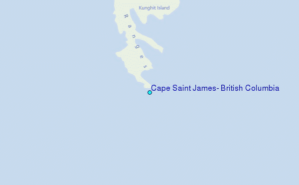
Choose Cape Saint James, British Columbia Location Map Zoom:
| Contours: | Roads & Rivers: | Select a
tide station / surf break / city |
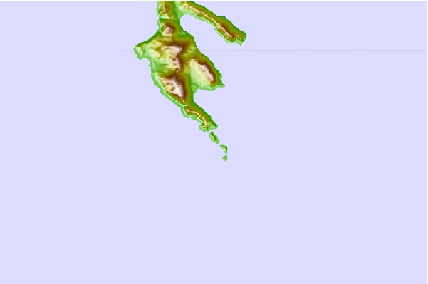
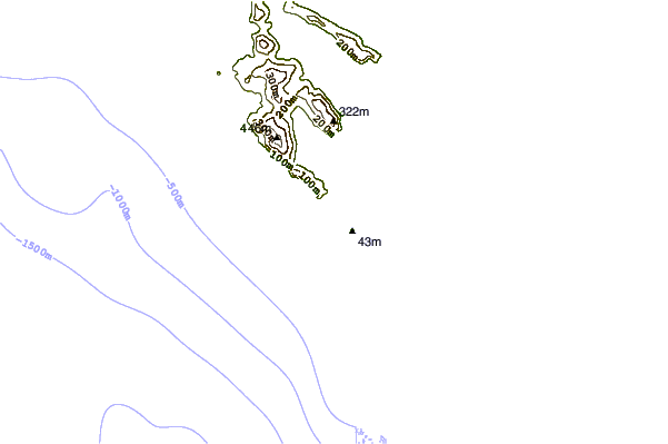
Use this relief map to navigate to tide stations, surf breaks and cities that are in the area of Cape Saint James, British Columbia.
Other Nearby Locations' tide tables and tide charts to Cape Saint James, British Columbia:
click location name for more details
 Surf breaks close to Cape Saint James, British Columbia:
|
||
|---|---|---|
| Closest surf break | Tow Hill Beach | 152 mi |
| Second closest surf break | Lepus Beach (Haida-Gwaii) | 176 mi |
| Third closest surf break | Nootka Island (Calvin Bay) | 241 mi |
| Fourth closest surf break | Tofino (North Chestermans Beach) | 297 mi |
| Fifth closest surf break | South Chesterman Beach | 298 mi |


 Nearest
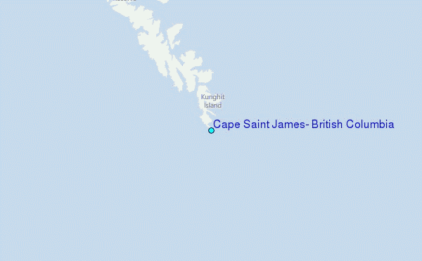