
| Distance / Altitude | Location | Report Date / Time | Live Weather | Wind | Gusts | Temp. | Visibility | Cloud |
|---|---|---|---|---|---|---|---|---|
| 6 km NNE / 31 m | Parrsboro- NS (Canada) | 2026-07-26 07:00 local (2026/07/26 10:00 GMT) | no report | wind obs. (7 kph from 260 degs) was rejected (- km/h at -) | 16°C | - | - | |
| 33 km SSE / 100 m | Wolfville (Nova Scotia) | 2026-07-26 07:25 local (2026/07/26 10:25 GMT) | dry | calm (2 km/h at 128) | — | - | - - 0 | |
| 34 km S / 204 m | Kentville Airport (Nova Scotia) | 2026-07-26 06:00 local (2026/07/26 09:00 GMT) | - | light winds from the S (6 km/h at 190) | 10°C | 0.0 | ||
| 34 km S / 49 m | Kentville (Canada) | 2026-07-26 07:00 local (2026/07/26 10:00 GMT) | - | calm (0 km/h at 60) | — | - | - | |
| 44 km NNE / 20 m | Nappan (Nova scotia) | 2026-07-26 07:00 local (2026/07/26 10:00 GMT) | no report | light winds from the S (6 km/h at 190) | 9°C | 0.0 | - - - | |
| 44 km NNE / 20 m | Nappan Automatic Weather Station Airport (Nova scotia) | 2026-07-26 06:00 local (2026/07/26 09:00 GMT) | - | light winds from the S (6 km/h at 190) | 9°C | 0.0 | ||
| 51 km W / 43 m | Fundy Park (Alma) Cs- NB (Canada) | 2026-07-26 07:00 local (2026/07/26 10:00 GMT) | no report | calm (4 km/h at 340) | 14°C | - | - | |
| 60 km SSW / 28 m | Cfb Greenwood- NS (Canada) | 2026-07-26 07:00 local (2026/07/26 10:00 GMT) | no report | - (- km/h at -) | 20°C | - | - - - | |
| 61 km SSW / 216 m | Greenwood Airport (Nova Scotia) | 2026-07-26 06:00 local (2026/07/26 09:00 GMT) | Dry and partly cloudy | calm (0 km/h at 0) | 9°C | 24 | few few broken | |
| 71 km W / 404 m | Mechanic Settlement- NB (Canada) | 2026-07-26 07:00 local (2026/07/26 10:00 GMT) | - | wind obs. (18 kph from 270 degs) was rejected (- km/h at -) | — | - | - - - |
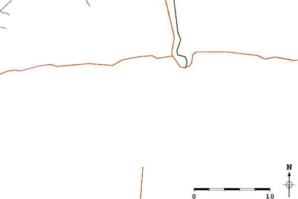
| Contours: | Roads & Rivers: | Select a
tide station / surf break / city |
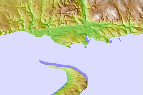
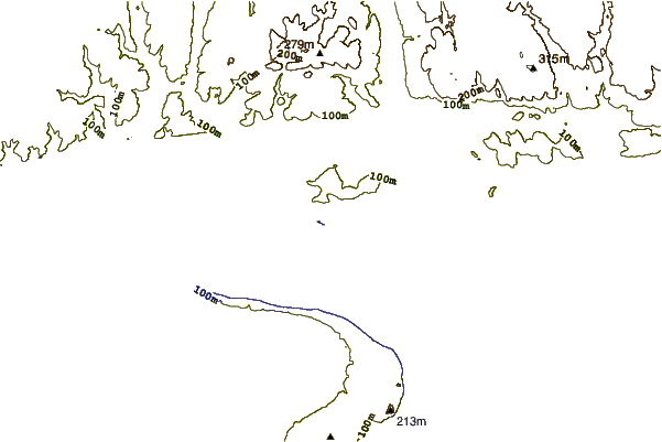
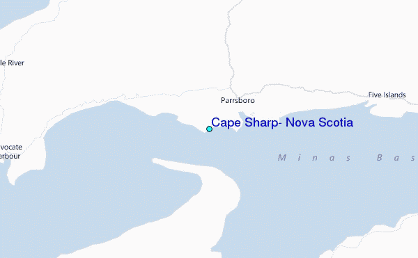
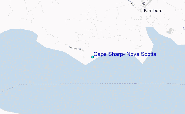
Use this relief map to navigate to tide stations, surf breaks and cities that are in the area of Cape Sharp, Nova Scotia.
Other Nearby Locations' tide tables and tide charts to Cape Sharp, Nova Scotia:
click location name for more details
 Surf breaks close to Cape Sharp, Nova Scotia:
|
||
|---|---|---|
| Closest surf break | Backyards | 70 mi |
| Second closest surf break | Minutes | 70 mi |
| Third closest surf break | Moose | 70 mi |
| Fourth closest surf break | Cow Bay | 70 mi |
| Fifth closest surf break | Osbourne | 70 mi |


 Nearest
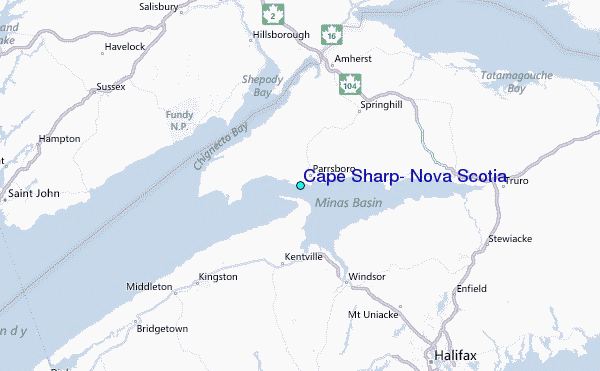